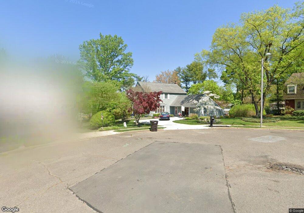
115 Timothy Ct Delran, NJ 08075
Tenby Chase NeighborhoodEstimated Value: $476,972 - $546,000
Studio
--
Bath
2,120
Sq Ft
$241/Sq Ft
Est. Value
About This Home
This home is located at 115 Timothy Ct, Delran, NJ 08075 and is currently estimated at $511,493, approximately $241 per square foot. 115 Timothy Ct is a home located in Burlington County with nearby schools including Millbridge Elementary School, Delran Intermediate School, and Delran Middle School.
Ownership History
Date
Name
Owned For
Owner Type
Purchase Details
Closed on
Sep 4, 2024
Sold by
Weir Douglas M and Weir Monica M
Bought by
Douglas M Weir Irrevocable Family Trust and Mathis
Current Estimated Value
Create a Home Valuation Report for This Property
The Home Valuation Report is an in-depth analysis detailing your home's value as well as a comparison with similar homes in the area
Home Values in the Area
Average Home Value in this Area
Purchase History
| Date | Buyer | Sale Price | Title Company |
|---|---|---|---|
| Douglas M Weir Irrevocable Family Trust | -- | None Listed On Document |
Source: Public Records
Tax History
| Year | Tax Paid | Tax Assessment Tax Assessment Total Assessment is a certain percentage of the fair market value that is determined by local assessors to be the total taxable value of land and additions on the property. | Land | Improvement |
|---|---|---|---|---|
| 2025 | $11,276 | $283,600 | $65,000 | $218,600 |
| 2024 | $11,174 | $283,600 | $65,000 | $218,600 |
| 2023 | $11,174 | $283,600 | $65,000 | $218,600 |
| 2022 | $11,029 | $283,600 | $65,000 | $218,600 |
| 2021 | $10,785 | $283,600 | $65,000 | $218,600 |
| 2020 | $11,012 | $283,600 | $65,000 | $218,600 |
| 2019 | $10,910 | $283,600 | $65,000 | $218,600 |
| 2018 | $10,729 | $283,600 | $65,000 | $218,600 |
| 2017 | $10,308 | $283,600 | $65,000 | $218,600 |
| 2016 | $10,152 | $283,600 | $65,000 | $218,600 |
| 2015 | $9,979 | $283,600 | $65,000 | $218,600 |
| 2014 | $9,534 | $283,600 | $65,000 | $218,600 |
Source: Public Records
Map
Nearby Homes
- 123 Shelly Ln
- 23 Lehigh Dr
- 115 Haines Mill Rd
- 101 Tarlton Ct
- 120 Coopers Kill Rd
- 213 Swedes Run Dr
- 108 Patricia Ave
- 139 Coopers Kill Rd
- 51 Suburban Blvd
- 119 Linda Ave
- 154 Fox Chase Dr
- 70 Suburban Blvd
- 212 Diane Ave
- 4327 Bridgeboro Rd
- 4304 Bridgeboro Rd
- 1 Echo Ave
- 207 Farmington Rd
- 247 Southview Dr
- 203 Congressional Ct
- 190 Westover Dr
- 113 Timothy Ct
- 117 Timothy Ct
- 101 Shelly Ln
- 103 Shelly Ln
- 100 Haines Mill Rd
- 111 Timothy Ct
- 102 Haines Mill Rd
- 98 Haines Mill Rd
- 104 Haines Mill Rd
- 105 Shelly Ln
- 119 Timothy Ct
- 106 Haines Mill Rd
- 96 Haines Mill Rd
- 121 Timothy Ct
- 109 Timothy Ct
- 111 Haines Mill Rd
- 107 Shelly Ln
- 14 Lehigh Dr
- 100 Shelly Ln
- 16 Lehigh Dr
Your Personal Tour Guide
Ask me questions while you tour the home.