115 Trail Ridge Weatherford, TX 76087
Estimated Value: $1,352,327 - $1,630,000
--
Bed
--
Bath
6,196
Sq Ft
$239/Sq Ft
Est. Value
About This Home
This home is located at 115 Trail Ridge, Weatherford, TX 76087 and is currently estimated at $1,483,442, approximately $239 per square foot. 115 Trail Ridge is a home located in Parker County with nearby schools including Brock Intermediate School, Brock Junior High School, and Brock High School.
Ownership History
Date
Name
Owned For
Owner Type
Purchase Details
Closed on
Sep 6, 2018
Sold by
Williams Robert L and Williams Laflora A
Bought by
Williams Robert Lee and Williams Laflora
Current Estimated Value
Purchase Details
Closed on
Sep 29, 2006
Sold by
Loftin Jerome S
Bought by
Williams Robert L and Williams Laflora A
Purchase Details
Closed on
Sep 26, 2003
Sold by
New Tex Land Development Ltd
Bought by
Williams Robert L and Williams Laflora
Create a Home Valuation Report for This Property
The Home Valuation Report is an in-depth analysis detailing your home's value as well as a comparison with similar homes in the area
Home Values in the Area
Average Home Value in this Area
Purchase History
| Date | Buyer | Sale Price | Title Company |
|---|---|---|---|
| Williams Robert Lee | -- | None Available | |
| Williams Robert L | -- | None Available | |
| Williams Robert L | -- | -- |
Source: Public Records
Tax History Compared to Growth
Tax History
| Year | Tax Paid | Tax Assessment Tax Assessment Total Assessment is a certain percentage of the fair market value that is determined by local assessors to be the total taxable value of land and additions on the property. | Land | Improvement |
|---|---|---|---|---|
| 2025 | $13,132 | $1,029,601 | -- | -- |
| 2024 | $13,132 | $936,001 | -- | -- |
| 2023 | $13,132 | $850,910 | $0 | $0 |
| 2022 | $15,705 | $773,560 | $114,000 | $659,560 |
| 2021 | $16,515 | $773,560 | $114,000 | $659,560 |
| 2020 | $16,506 | $762,570 | $114,000 | $648,570 |
| 2019 | $17,773 | $762,570 | $114,000 | $648,570 |
| 2018 | $17,364 | $741,720 | $39,900 | $701,820 |
| 2017 | $17,064 | $741,720 | $39,900 | $701,820 |
| 2016 | $15,514 | $674,350 | $39,900 | $634,450 |
| 2015 | $15,315 | $674,350 | $39,900 | $634,450 |
| 2014 | $13,800 | $601,360 | $39,900 | $561,460 |
Source: Public Records
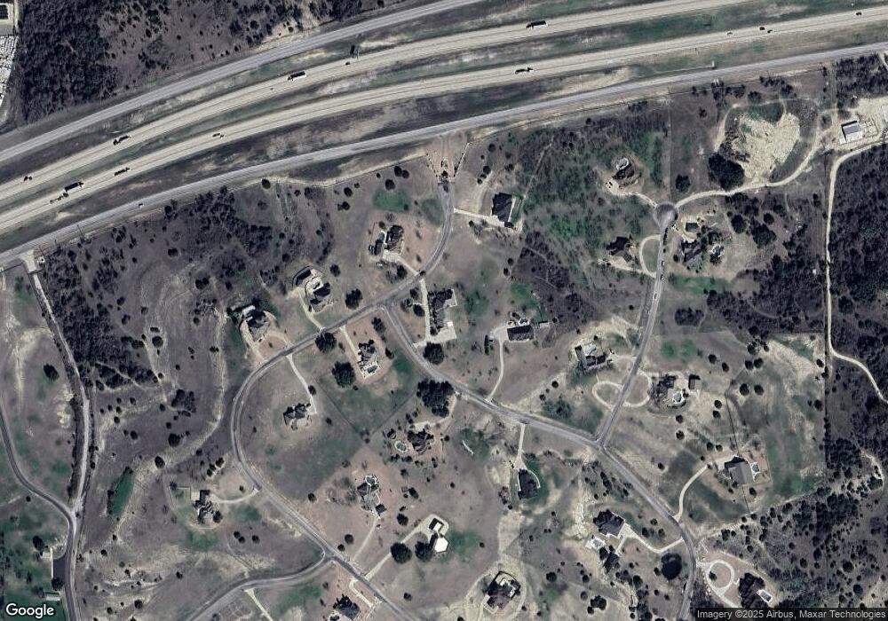
Map
Nearby Homes
- 120 Trail Ridge
- 101 Trail Ridge
- 234 Trail Ridge
- 0 Quanah Hill Rd Unit 23872058
- 123 Club House Dr
- 113 Laser Ln
- 125 Summer Stone Ct
- 150 Top Flight Dr
- 162 Pinnacle Peak Ln
- 1060 Kessler Rd
- 197 Pinnacle Peak Ln
- 205 Pinnacle Peak Ln
- 873 Canyon Creek Ln
- 788 W Canyon Creek Ln
- 313 Canyon Creek Cir
- 833 N Savage Creek Ln
- 393 Canyon Creek Cir
- 673 E Canyon Creek Ln
- TBA Old Brock Rd
- TBD Ellis Dr
- 107 Derek Dr
- 288 Trail Ridge
- 104 Trail Ridge
- TBD River Trail
- 119 Trail Ridge
- 100 Trail Ridge
- Lot 15 Trail Ridge
- 291 Trail Ridge
- 111 Wild Plum Ct
- 132 Trail Ridge
- 281 Trail Ridge
- 123 Wild Plum Ct
- 171 Trail Ridge
- 0000 Wild Plum Ct
- 185 Trail Ridge
- 135 Wild Plum Ct
- 110 Wild Plum Ct
- 122 Wild Plum Ct
- 251 Trail Ridge
- 193 Trail Ridge