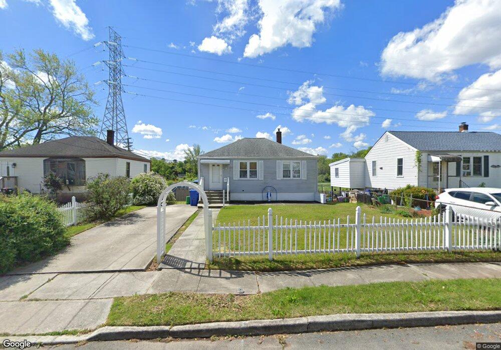
115 Underwood Ave West Deptford, NJ 08096
West Deptford Township NeighborhoodEstimated Value: $218,006 - $274,000
--
Bed
--
Bath
792
Sq Ft
$319/Sq Ft
Est. Value
About This Home
This home is located at 115 Underwood Ave, West Deptford, NJ 08096 and is currently estimated at $253,002, approximately $319 per square foot. 115 Underwood Ave is a home located in Gloucester County with nearby schools including Oakview Elementary School, Red Bank Elementary School, and Green-Fields Elementary School.
Ownership History
Date
Name
Owned For
Owner Type
Purchase Details
Closed on
May 11, 2005
Sold by
Abt Daniel Albert
Bought by
Purden Robert L and Purden Mary Elizabeth
Current Estimated Value
Purchase Details
Closed on
Aug 11, 2004
Sold by
Martino James T and Estate Of Barbara A Martino
Bought by
Albert Daniel
Home Financials for this Owner
Home Financials are based on the most recent Mortgage that was taken out on this home.
Original Mortgage
$95,000
Interest Rate
6.02%
Mortgage Type
Purchase Money Mortgage
Create a Home Valuation Report for This Property
The Home Valuation Report is an in-depth analysis detailing your home's value as well as a comparison with similar homes in the area
Home Values in the Area
Average Home Value in this Area
Purchase History
| Date | Buyer | Sale Price | Title Company |
|---|---|---|---|
| Purden Robert L | $164,900 | Congress | |
| Albert Daniel | $100,000 | -- |
Source: Public Records
Mortgage History
| Date | Status | Borrower | Loan Amount |
|---|---|---|---|
| Previous Owner | Albert Daniel | $95,000 |
Source: Public Records
Tax History Compared to Growth
Tax History
| Year | Tax Paid | Tax Assessment Tax Assessment Total Assessment is a certain percentage of the fair market value that is determined by local assessors to be the total taxable value of land and additions on the property. | Land | Improvement |
|---|---|---|---|---|
| 2025 | $5,001 | $143,200 | $38,800 | $104,400 |
| 2024 | $4,936 | $143,200 | $38,800 | $104,400 |
| 2023 | $4,936 | $143,200 | $38,800 | $104,400 |
| 2022 | $4,913 | $143,200 | $38,800 | $104,400 |
| 2021 | $4,189 | $143,200 | $38,800 | $104,400 |
| 2020 | $4,885 | $143,200 | $38,800 | $104,400 |
| 2019 | $4,749 | $143,200 | $38,800 | $104,400 |
| 2018 | $4,620 | $143,200 | $38,800 | $104,400 |
| 2017 | $4,512 | $143,200 | $38,800 | $104,400 |
| 2016 | $3,886 | $143,200 | $38,800 | $104,400 |
| 2015 | $3,819 | $148,000 | $43,600 | $104,400 |
| 2014 | $3,604 | $148,000 | $43,600 | $104,400 |
Source: Public Records
Map
Nearby Homes
- 302 W Red Bank Ave
- 654 Frances Ave
- 46 Lynn Dr
- 30 N Broad St
- 626 Green St
- 195 Delaware St
- 34 S Jackson St
- 7 Victorian Way
- 204 Hunter St
- 3 Victorian Way
- 2 Victorian Way
- 71 Cooper St
- 193 Dubois Ave
- 43 Curtis Ave
- 131 Watkins Ave
- 154 W Barber Ave
- 17 Watkins Ave
- 29 Aberdeen Place
- 16 N Maple St Unit A5
- 125 S Davis St
- 111 Underwood Ave
- 119 Underwood Ave
- 101 Underwood Ave
- 121 Underwood Ave
- 122 Underwood Ave
- 116 Underwood Ave
- 112 Underwood Ave
- 128 Underwood Ave
- 6 Tatum St
- 131 Underwood Ave
- 132 Underwood Ave
- 414 Tatum St
- 2 Tatum St
- 135 Underwood Ave
- 136 Underwood Ave
- 139 Underwood Ave
- 140 Underwood Ave
- 105 W Red Bank Ave
- 103 W Red Bank Ave
- 107 W Red Bank Ave