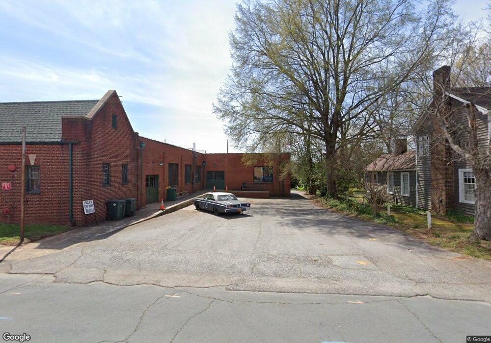
115 W Bank St Salisbury, NC 28144
Estimated Value: $226,000 - $255,000
--
Bed
2
Baths
1,200
Sq Ft
$198/Sq Ft
Est. Value
About This Home
This home is located at 115 W Bank St, Salisbury, NC 28144 and is currently estimated at $237,930, approximately $198 per square foot. 115 W Bank St is a home located in Rowan County with nearby schools including Carroll T Overton Elementary School, Knox Middle School, and North Rowan Middle School.
Ownership History
Date
Name
Owned For
Owner Type
Purchase Details
Closed on
Jul 21, 2021
Sold by
Payton Elizabeth M and Payton Mitchell A
Bought by
Brazeel Michael D
Current Estimated Value
Home Financials for this Owner
Home Financials are based on the most recent Mortgage that was taken out on this home.
Original Mortgage
$139,860
Outstanding Balance
$127,017
Interest Rate
2.96%
Mortgage Type
VA
Estimated Equity
$110,913
Purchase Details
Closed on
Aug 22, 2005
Sold by
Morton Jane Hubbard
Bought by
Morton Jane Hubbard and Payton Elizabeth M
Create a Home Valuation Report for This Property
The Home Valuation Report is an in-depth analysis detailing your home's value as well as a comparison with similar homes in the area
Home Values in the Area
Average Home Value in this Area
Purchase History
| Date | Buyer | Sale Price | Title Company |
|---|---|---|---|
| Brazeel Michael D | $135,000 | None Available | |
| Morton Jane Hubbard | -- | -- |
Source: Public Records
Mortgage History
| Date | Status | Borrower | Loan Amount |
|---|---|---|---|
| Open | Brazeel Michael D | $139,860 |
Source: Public Records
Tax History Compared to Growth
Tax History
| Year | Tax Paid | Tax Assessment Tax Assessment Total Assessment is a certain percentage of the fair market value that is determined by local assessors to be the total taxable value of land and additions on the property. | Land | Improvement |
|---|---|---|---|---|
| 2025 | $1,699 | $166,545 | $28,500 | $138,045 |
| 2024 | $1,699 | $166,545 | $28,500 | $138,045 |
| 2023 | $1,699 | $166,545 | $28,500 | $138,045 |
| 2022 | $1,292 | $116,937 | $22,500 | $94,437 |
| 2021 | $1,257 | $116,937 | $22,500 | $94,437 |
| 2020 | $1,257 | $116,937 | $22,500 | $94,437 |
| 2019 | $1,257 | $116,937 | $22,500 | $94,437 |
| 2018 | $1,092 | $102,686 | $22,500 | $80,186 |
| 2017 | $1,092 | $102,686 | $22,500 | $80,186 |
| 2016 | $1,092 | $102,686 | $22,500 | $80,186 |
| 2015 | $1,112 | $102,686 | $22,500 | $80,186 |
| 2014 | $1,139 | $106,446 | $22,500 | $83,946 |
Source: Public Records
Map
Nearby Homes
- 300 S Main St Unit K
- 322 S Church St
- 209 S Main St
- 300 W Horah St
- 321 W Bank St
- 119 S Lee St Unit 3
- 414 S Fulton St
- 418 S Fulton St
- 209 W Marsh St
- 123 N Main St
- 425 W Horah St
- 603 S Fulton St
- 408 S Ellis St
- 300 W Thomas St
- 115 W Thomas St
- 1210 Kildare Dr Unit 80
- 1160 Kildare Dr Unit 76
- 1175 Kildare Dr Unit 3
- 403 S Long St
- 525 W Horah St Unit Lot 9
- 300 S Main St Unit S1
- 300 S Main St Unit E
- 300 S Main St Unit S2
- 300 S Main St
- 111 W Bank St
- 316 S Main St Unit Lot 4
- 316 S Main St
- 314 S Main St
- 127 W Bank St
- 221 S Main St
- 204 S Main St
- 213 S Main St
- 201 S Main St
- 131 W Bank St
- 315 S Church St
- 321 S Church St
- 210 S Main St
- 206 S Main St
- 203 W Bank St
- 109 W Fisher St