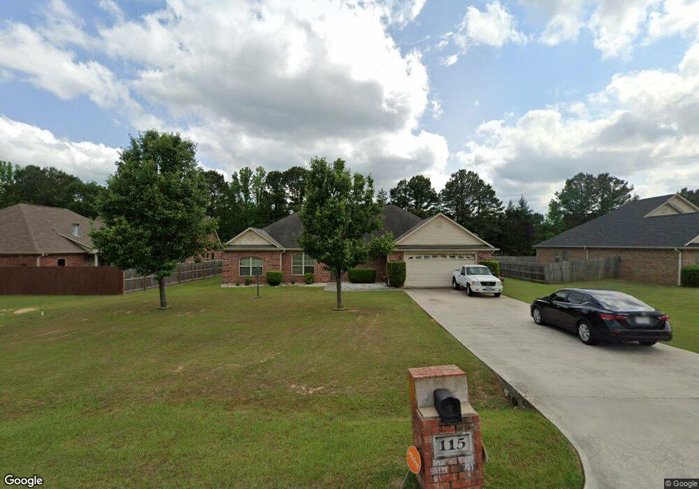
115 W Starlite Dr Texarkana, TX 75501
Estimated Value: $283,657 - $332,000
--
Bed
--
Bath
2,149
Sq Ft
$147/Sq Ft
Est. Value
About This Home
This home is located at 115 W Starlite Dr, Texarkana, TX 75501 and is currently estimated at $314,914, approximately $146 per square foot. 115 W Starlite Dr is a home located in Bowie County with nearby schools including Liberty-Eylau Early Childhood Center, Liberty-Eylau C.K. Bender Elementary Campus, and Liberty-Eylau Primary School.
Ownership History
Date
Name
Owned For
Owner Type
Purchase Details
Closed on
Mar 1, 2022
Sold by
Clark Kadondra R
Bought by
Clark Kadondra R and Fields Melba Sue
Current Estimated Value
Home Financials for this Owner
Home Financials are based on the most recent Mortgage that was taken out on this home.
Original Mortgage
$163,974
Outstanding Balance
$152,262
Interest Rate
3.55%
Mortgage Type
New Conventional
Estimated Equity
$162,652
Purchase Details
Closed on
Jul 23, 2009
Sold by
Cbsc Inc
Bought by
Wardale Tommy and Wardale Kadondra R
Create a Home Valuation Report for This Property
The Home Valuation Report is an in-depth analysis detailing your home's value as well as a comparison with similar homes in the area
Home Values in the Area
Average Home Value in this Area
Purchase History
| Date | Buyer | Sale Price | Title Company |
|---|---|---|---|
| Clark Kadondra R | -- | None Listed On Document | |
| Wardale Tommy | -- | Stewart Tite Of Texarkana |
Source: Public Records
Mortgage History
| Date | Status | Borrower | Loan Amount |
|---|---|---|---|
| Open | Clark Kadondra R | $163,974 | |
| Closed | Wardale Tommy | $0 |
Source: Public Records
Tax History Compared to Growth
Tax History
| Year | Tax Paid | Tax Assessment Tax Assessment Total Assessment is a certain percentage of the fair market value that is determined by local assessors to be the total taxable value of land and additions on the property. | Land | Improvement |
|---|---|---|---|---|
| 2025 | $4,511 | $310,564 | $21,500 | $289,064 |
| 2024 | $4,511 | $305,385 | $21,500 | $283,885 |
| 2023 | $0 | $289,585 | $21,500 | $268,085 |
| 2022 | $4,111 | $261,337 | $21,500 | $239,837 |
| 2021 | $3,974 | $216,890 | $20,000 | $196,890 |
| 2020 | $3,835 | $207,744 | $20,000 | $187,744 |
| 2019 | $3,866 | $199,025 | $20,000 | $179,025 |
| 2018 | $3,736 | $192,345 | $20,000 | $172,345 |
| 2017 | $3,658 | $189,054 | $20,000 | $169,054 |
| 2016 | $3,566 | $184,288 | $20,000 | $164,288 |
| 2015 | $3,494 | $182,702 | $20,000 | $162,702 |
| 2014 | $3,494 | $186,858 | $20,000 | $166,858 |
Source: Public Records
Map
Nearby Homes
- 194 W Starlite Dr
- 280 Patriot Way
- 101 Redwood Dr
- 6 Southridge St
- 6514 Buchanan Loop Rd
- 403 Brookfield St
- 7689 Us-59
- 144 Joe Tyl Rd
- 7685 State Highway 59
- 6606 Us-59
- 6606 Us Highway 59 S
- 6815 Buchanan Loop Rd
- 2043 Randall Rd
- 206 Fm 3244
- lot15 B2 Quail Brook
- lot15 B1 Quail Brook
- lot14 B2 Quail Brook
- Lot 1 B2 Quail Brook
- 39 Quail Brook Dr
- 0 Randall Rd
- 131 W Starlite Dr
- 101 W Starlite Dr
- 153 W Starlite Dr
- 118 W Starlite Dr
- 175 W Starlite Dr
- 126 W Starlite Dr
- 104 W Starlite Dr
- 319 W Starlite Dr
- 0 W Starlite Dr
- 150 W Starlite Dr
- 96 W Starlite Dr
- 6059 Buchanan Loop Rd
- 197 W Starlite Dr
- 172 W Starlite Dr
- 135 Patriot Way
- 155 Patriot Way
- 175 Patriot Way
- 45 Patriot Way
- 219 W Starlite Dr
- 195 Patriot Way