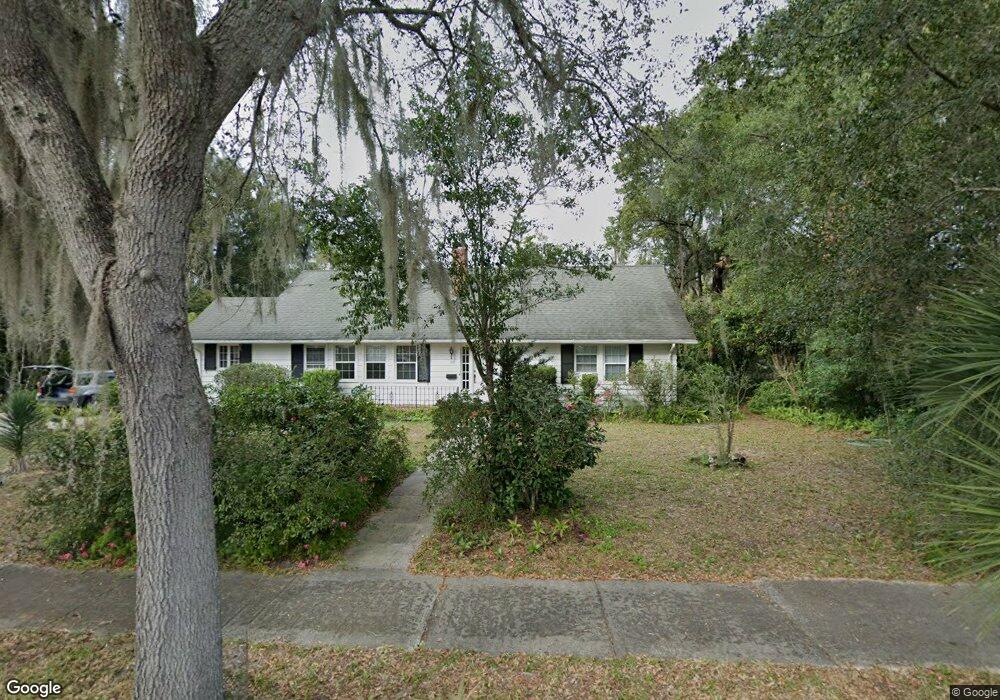
115 W Stetson Ave Deland, FL 32720
Estimated Value: $387,000 - $681,000
4
Beds
4
Baths
3,222
Sq Ft
$169/Sq Ft
Est. Value
About This Home
This home is located at 115 W Stetson Ave, Deland, FL 32720 and is currently estimated at $544,249, approximately $168 per square foot. 115 W Stetson Ave is a home located in Volusia County with nearby schools including Deland High School, Citrus Grove Elementary, and Southwestern Middle School.
Ownership History
Date
Name
Owned For
Owner Type
Purchase Details
Closed on
Feb 14, 2019
Sold by
Smith Susan A and Smith Elliott Jay
Bought by
Smith Carter Anthony
Current Estimated Value
Purchase Details
Closed on
Aug 6, 2018
Sold by
Smith Susan A
Bought by
Smith Susan A and Smith Carter Anthony
Purchase Details
Closed on
Jun 17, 1994
Sold by
Smith Philip N and Smith Joan Elliott
Bought by
Smith Philip N and Smith Joan Elliott
Purchase Details
Closed on
Oct 29, 1992
Bought by
Smith Susan A
Purchase Details
Closed on
May 15, 1978
Bought by
Smith Susan A
Purchase Details
Closed on
Nov 15, 1975
Bought by
Smith Susan A
Create a Home Valuation Report for This Property
The Home Valuation Report is an in-depth analysis detailing your home's value as well as a comparison with similar homes in the area
Home Values in the Area
Average Home Value in this Area
Purchase History
| Date | Buyer | Sale Price | Title Company |
|---|---|---|---|
| Smith Carter Anthony | -- | Attorney | |
| Smith Susan A | -- | Attorney | |
| Smith Carter Anthony | -- | Attorney | |
| Smith Philip N | -- | -- | |
| Smith Susan A | $100 | -- | |
| Smith Susan A | $74,000 | -- | |
| Smith Susan A | $62,000 | -- |
Source: Public Records
Tax History Compared to Growth
Tax History
| Year | Tax Paid | Tax Assessment Tax Assessment Total Assessment is a certain percentage of the fair market value that is determined by local assessors to be the total taxable value of land and additions on the property. | Land | Improvement |
|---|---|---|---|---|
| 2025 | $3,800 | $285,282 | -- | -- |
| 2024 | $3,800 | $277,242 | -- | -- |
| 2023 | $3,800 | $269,167 | $0 | $0 |
| 2022 | $3,721 | $261,327 | $0 | $0 |
| 2021 | $3,845 | $253,716 | $0 | $0 |
| 2020 | $3,796 | $250,213 | $0 | $0 |
| 2019 | $3,856 | $244,587 | $28,751 | $215,836 |
| 2018 | $4,672 | $236,265 | $20,700 | $215,565 |
| 2017 | $4,305 | $200,193 | $20,643 | $179,550 |
| 2016 | $3,729 | $162,345 | $0 | $0 |
| 2015 | $3,884 | $165,734 | $0 | $0 |
| 2014 | $3,595 | $148,052 | $0 | $0 |
Source: Public Records
Map
Nearby Homes
- 138 W Stetson Ave
- 830 N Clake Ave
- 740 N Sans Souci Ave
- 738 N Sans Souci Ave
- 735 N Clara Ave
- 615 N Palmetto Ct
- 210 W University Ave
- 930 N Amelia Ave
- 325 E Plymouth Ave
- 2055 Buckhanon Trail
- 701 N Tuxedo Ave
- 431 N Sans Souci Ave
- 3015 Buckhanon Trail
- 505 E Plymouth Ave
- 404 N Clara Ave
- 611 N Garfield Ave
- 600 W Hogle Ave
- 1307 Cook St
- 205 E Kentucky Ave
- 1207 N Amelia Ave
- 830 N Woodland Blvd
- 121 W Stetson Ave
- 850 N Woodland Blvd
- 130 W Stetson Ave
- 118 W Plymouth Ave
- 137 W Stetson Ave
- 0 S State Rd 15a Unit V4923033
- 0 S State Rd 15a Unit V4708011
- 132 W Stetson Ave
- 134 W Stetson Ave
- 125 W Plymouth Ave Unit 119
- 125 W Plymouth Ave
- 135 W Stetson Ave
- 146 W Stetson Ave
- 807 N Florida Ave
- 819 N Woodland Blvd
- 843 N Woodland Blvd
- 843 N Woodland Blvd Unit 3
- 820 N Florida Ave
- 811 N Florida Ave