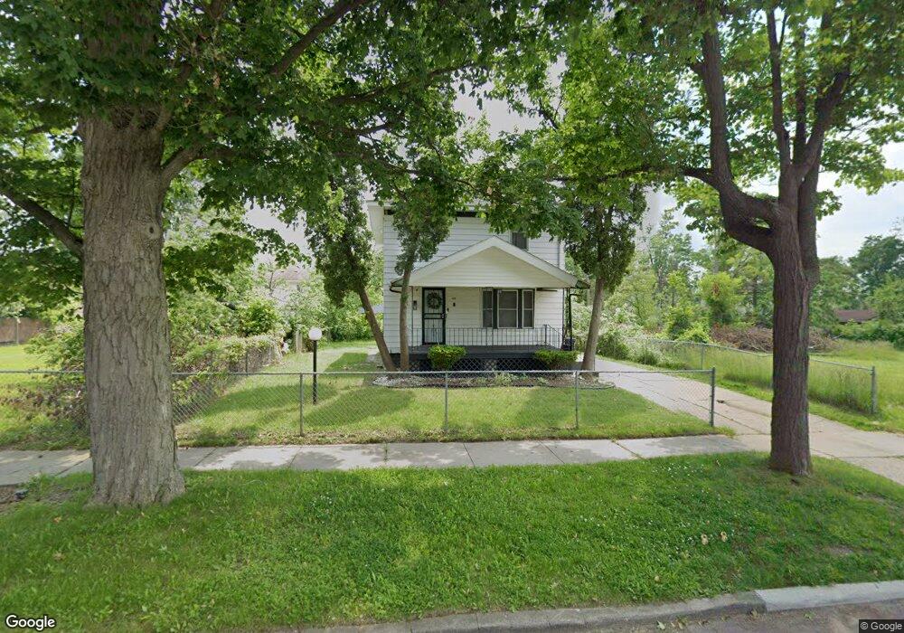
115 W Taylor St Flint, MI 48505
King Avenue Plus NeighborhoodEstimated Value: $41,000 - $90,000
3
Beds
1
Bath
1,144
Sq Ft
$50/Sq Ft
Est. Value
About This Home
This home is located at 115 W Taylor St, Flint, MI 48505 and is currently estimated at $57,593, approximately $50 per square foot. 115 W Taylor St is a home located in Genesee County with nearby schools including Brownell STEM Academy, Flint Cultural Center Academy, and Greater Heights Academy.
Ownership History
Date
Name
Owned For
Owner Type
Purchase Details
Closed on
Oct 31, 2017
Sold by
Boyce Lolita La Trale
Bought by
Golden Jaquetta
Current Estimated Value
Purchase Details
Closed on
Feb 14, 2012
Sold by
R2d2 Homes Llc
Bought by
Boyce Lolita L
Purchase Details
Closed on
May 31, 2007
Sold by
Johnson Scull Ladorothy
Bought by
R2d2 Homes Llc
Purchase Details
Closed on
Jan 9, 2003
Sold by
Johnson Ladorothy
Bought by
Johnson Scull Ladorothy
Create a Home Valuation Report for This Property
The Home Valuation Report is an in-depth analysis detailing your home's value as well as a comparison with similar homes in the area
Home Values in the Area
Average Home Value in this Area
Purchase History
| Date | Buyer | Sale Price | Title Company |
|---|---|---|---|
| Golden Jaquetta | -- | None Available | |
| Boyce Lolita L | $14,175 | None Available | |
| R2d2 Homes Llc | $9,000 | Cislo Title Co | |
| Johnson Scull Ladorothy | -- | -- |
Source: Public Records
Tax History Compared to Growth
Tax History
| Year | Tax Paid | Tax Assessment Tax Assessment Total Assessment is a certain percentage of the fair market value that is determined by local assessors to be the total taxable value of land and additions on the property. | Land | Improvement |
|---|---|---|---|---|
| 2025 | $522 | $9,700 | $0 | $0 |
| 2024 | $489 | $9,400 | $0 | $0 |
| 2023 | $574 | $9,000 | $0 | $0 |
| 2022 | $0 | $7,700 | $0 | $0 |
| 2021 | $657 | $9,100 | $0 | $0 |
| 2020 | $615 | $5,900 | $0 | $0 |
| 2019 | $654 | $5,200 | $0 | $0 |
| 2018 | $619 | $5,700 | $0 | $0 |
| 2017 | $538 | $0 | $0 | $0 |
| 2016 | $628 | $0 | $0 | $0 |
| 2015 | -- | $0 | $0 | $0 |
| 2014 | -- | $0 | $0 | $0 |
| 2012 | -- | $8,000 | $0 | $0 |
Source: Public Records
Map
Nearby Homes
- 2913
- 2913 Martin Luther King Ave
- 115 W Baker St
- 218 E Jackson Ave
- 311 W Genesee St
- 200 W Mcclellan St
- 409 W Genesee St
- 325 W Dewey St
- 506 Green St
- 3312 Buick St
- 317 W Witherbee St
- 2718 N Chevrolet Ave
- 3002 N Chevrolet Ave
- 325 W Paterson St
- 3418 Keyes St
- 638 E Pasadena Ave
- 3810 Marvin St
- 3002 Proctor St
- 1101 W Rankin St
- 562 E Witherbee St
- 119 W Taylor St
- 116 W Rankin St
- 123 W Taylor St
- 114 W Rankin St
- 120 W Rankin St
- 2615 M l King Ave
- 2607 M l King Ave
- 124 W Rankin St
- 127 W Taylor St
- 116 W Taylor St
- 2601 M l King Ave
- 112 W Taylor St
- 120 W Taylor St
- 128 W Rankin St
- 2701 M l King Ave
- 131 W Taylor St
- 2707 M l King Ave
- 201 W Taylor St
- 115 W Rankin St
- 113 W Rankin St