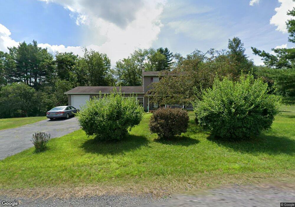
115 Wallace Way Weatherly, PA 18255
Estimated Value: $240,000 - $326,000
3
Beds
2
Baths
1,456
Sq Ft
$190/Sq Ft
Est. Value
About This Home
This home is located at 115 Wallace Way, Weatherly, PA 18255 and is currently estimated at $276,447, approximately $189 per square foot. 115 Wallace Way is a home located in Carbon County with nearby schools including Weatherly Elementary/ Middle School and Weatherly Area Senior High School.
Ownership History
Date
Name
Owned For
Owner Type
Purchase Details
Closed on
Jul 30, 2025
Sold by
Augustine Agnes Monica
Bought by
Baggs Susan
Current Estimated Value
Home Financials for this Owner
Home Financials are based on the most recent Mortgage that was taken out on this home.
Original Mortgage
$204,800
Outstanding Balance
$204,623
Interest Rate
6.72%
Mortgage Type
New Conventional
Estimated Equity
$71,824
Purchase Details
Closed on
Sep 9, 1986
Bought by
Augustine Lyle A and Augustine Agnes M
Create a Home Valuation Report for This Property
The Home Valuation Report is an in-depth analysis detailing your home's value as well as a comparison with similar homes in the area
Home Values in the Area
Average Home Value in this Area
Purchase History
| Date | Buyer | Sale Price | Title Company |
|---|---|---|---|
| Baggs Susan | $324,000 | Paramount Abstract | |
| Augustine Lyle A | -- | -- |
Source: Public Records
Mortgage History
| Date | Status | Borrower | Loan Amount |
|---|---|---|---|
| Open | Baggs Susan | $204,800 |
Source: Public Records
Tax History Compared to Growth
Tax History
| Year | Tax Paid | Tax Assessment Tax Assessment Total Assessment is a certain percentage of the fair market value that is determined by local assessors to be the total taxable value of land and additions on the property. | Land | Improvement |
|---|---|---|---|---|
| 2025 | $3,753 | $54,325 | $13,500 | $40,825 |
| 2024 | $3,528 | $54,325 | $13,500 | $40,825 |
| 2023 | $3,406 | $54,325 | $13,500 | $40,825 |
| 2022 | $3,406 | $54,325 | $13,500 | $40,825 |
| 2021 | $3,351 | $54,325 | $13,500 | $40,825 |
| 2020 | $3,351 | $54,325 | $13,500 | $40,825 |
| 2019 | $3,163 | $54,325 | $13,500 | $40,825 |
| 2018 | $3,086 | $54,325 | $13,500 | $40,825 |
| 2017 | $3,005 | $54,325 | $13,500 | $40,825 |
| 2016 | -- | $54,325 | $13,500 | $40,825 |
| 2015 | -- | $54,325 | $13,500 | $40,825 |
| 2014 | -- | $54,325 | $13,500 | $40,825 |
Source: Public Records
Map
Nearby Homes
- 0 Grist Mill Drive Lot Unit WP001
- 0 Grist Mill Dr
- 419 Sand Spring Rd
- 751 Hudson Dr
- 1586 Spring Mountain Rd
- 97 Broad St
- 135 Dean St
- 44 Berwick St
- 5444 Quakake Rd
- 374 Packer Dr
- Lot C1.13 Packer Dr
- 0 Packer Dr
- 0 11th Ave Unit PM-131093
- 2001 E Broad St
- 205 Yard St
- 237 Stock St
- 415 Lake Dr
- 546 W Main St
- 327 Entwistle St
- 462 Plane St
- 187 Wallace Way
- 0 Wallace Way
- 184 Wallace Way
- 237 Wallace Way
- 286 Wallace Way
- 127 Railroad Dr
- 291 Wallace Way
- 247 Railroad Dr
- 63 Railroad Dr
- [1-799] Wallace Way
- Lot 4A Wallace Way
- 313 Railroad Dr
- 174 Dulcey Rd
- 325 Railroad Dr
- 143 Railroad Dr
- 350 Wallace Way
- 371 Railroad Dr
- 436 Wallace Way
- 450 Grist Mill Dr
- 494 Wallace Way