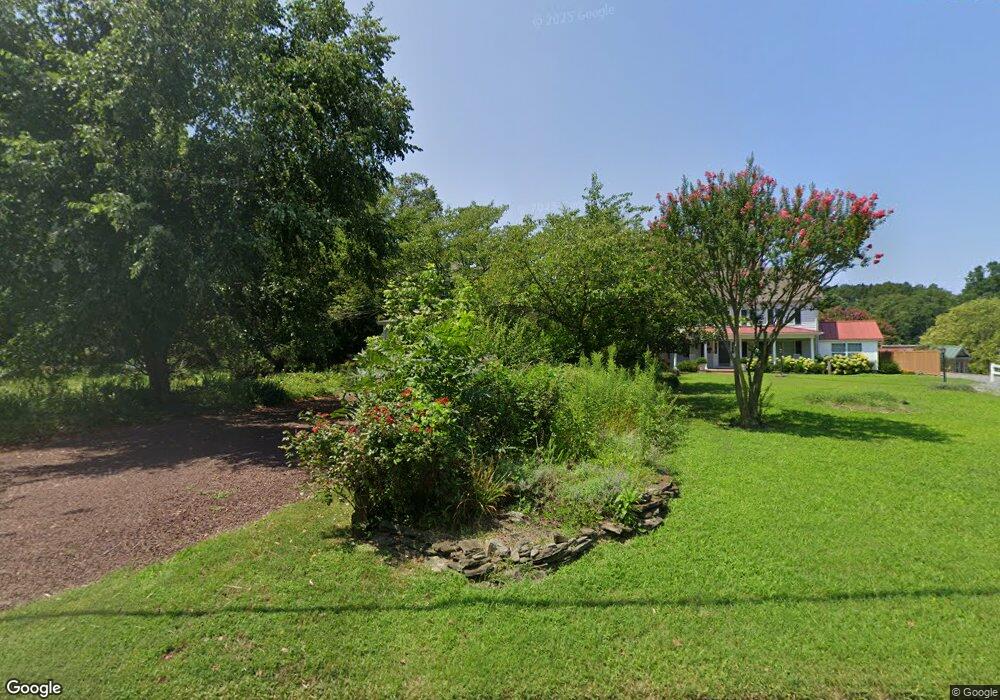
115 Watson Rd Centreville, MD 21617
Estimated Value: $434,288 - $469,000
Studio
2
Baths
2,104
Sq Ft
$213/Sq Ft
Est. Value
About This Home
This home is located at 115 Watson Rd, Centreville, MD 21617 and is currently estimated at $447,572, approximately $212 per square foot. 115 Watson Rd is a home located in Queen Anne's County with nearby schools including Centreville Elementary School, Kennard Elementary School, and Centreville Middle School.
Ownership History
Date
Name
Owned For
Owner Type
Purchase Details
Closed on
May 25, 1999
Sold by
Wall Frederick L and Wall Frederick L Judith M
Bought by
Feinman Barbara L
Current Estimated Value
Purchase Details
Closed on
Jun 8, 1988
Sold by
Rabin Kenneth M and Rabin Elaine R
Bought by
Feinman Barbara L
Purchase Details
Closed on
Jul 11, 1984
Sold by
Sherman Max C and Sherman Elizabeth
Bought by
Rabin Kenneth M and Rabin Elaine R
Home Financials for this Owner
Home Financials are based on the most recent Mortgage that was taken out on this home.
Original Mortgage
$30,000
Interest Rate
14.66%
Create a Home Valuation Report for This Property
The Home Valuation Report is an in-depth analysis detailing your home's value as well as a comparison with similar homes in the area
Home Values in the Area
Average Home Value in this Area
Purchase History
| Date | Buyer | Sale Price | Title Company |
|---|---|---|---|
| Feinman Barbara L | $165,000 | -- | |
| Feinman Barbara L | $170,000 | -- | |
| Rabin Kenneth M | $65,000 | -- |
Source: Public Records
Mortgage History
| Date | Status | Borrower | Loan Amount |
|---|---|---|---|
| Previous Owner | Rabin Kenneth M | $30,000 | |
| Closed | Feinman Barbara L | -- |
Source: Public Records
Tax History
| Year | Tax Paid | Tax Assessment Tax Assessment Total Assessment is a certain percentage of the fair market value that is determined by local assessors to be the total taxable value of land and additions on the property. | Land | Improvement |
|---|---|---|---|---|
| 2025 | $3,999 | $304,533 | $0 | $0 |
| 2024 | $3,823 | $292,300 | $139,800 | $152,500 |
| 2023 | $3,615 | $274,333 | $0 | $0 |
| 2022 | $3,411 | $256,367 | $0 | $0 |
| 2021 | $2,880 | $238,400 | $90,900 | $147,500 |
| 2020 | $2,880 | $231,067 | $0 | $0 |
| 2019 | $2,786 | $223,733 | $0 | $0 |
| 2018 | $2,708 | $216,400 | $90,900 | $125,500 |
| 2017 | $2,723 | $216,100 | $0 | $0 |
| 2016 | -- | $215,800 | $0 | $0 |
| 2015 | $1,579 | $215,500 | $0 | $0 |
| 2014 | $1,579 | $215,500 | $0 | $0 |
Source: Public Records
Map
Nearby Homes
- 104 Windsor Ave
- 317 N Liberty St
- 319 N Liberty St
- 112 S Commerce St
- 126 S Commerce St
- 704 Church Hill Rd
- 708 Church Hill Rd
- 104 Kidwell Ave
- 407 S Commerce St
- 110 Holton St
- 138 Spring St
- 132 Spring St
- 217 Elm St
- 212 Little Kidwell Ave
- 324 Kidwell Ave
- 331 Kidwell Ave
- 213 Edenderry Ave
- 2920 4h Park Rd
- 120 Brook Knoll Way
- 235 Green St
Your Personal Tour Guide
Ask me questions while you tour the home.