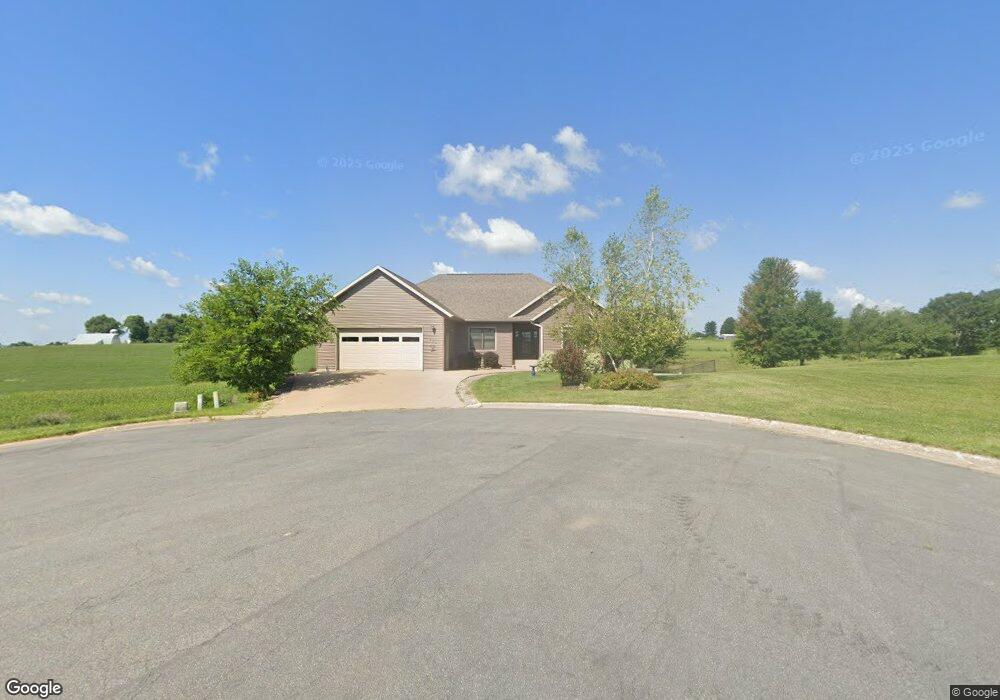
115 West Point Cir Viroqua, WI 54665
Estimated Value: $461,912 - $614,000
Studio
--
Bath
--
Sq Ft
19,384
Sq Ft Lot
About This Home
This home is located at 115 West Point Cir, Viroqua, WI 54665 and is currently estimated at $535,228. 115 West Point Cir is a home with nearby schools including Viroqua Elementary School, Viroqua Middle School, and Viroqua High School.
Ownership History
Date
Name
Owned For
Owner Type
Purchase Details
Closed on
Jul 30, 2018
Sold by
Arnson Kehi A and Arnson Christine F
Bought by
Peterson Duane H and Peterson Suzanne J
Current Estimated Value
Purchase Details
Closed on
Jun 23, 2016
Sold by
Burckhardt Portia A and Burckhardt Jody K
Bought by
Arnson Kehl A and Arnson Christine F
Home Financials for this Owner
Home Financials are based on the most recent Mortgage that was taken out on this home.
Original Mortgage
$265,500
Interest Rate
3.57%
Mortgage Type
New Conventional
Create a Home Valuation Report for This Property
The Home Valuation Report is an in-depth analysis detailing your home's value as well as a comparison with similar homes in the area
Home Values in the Area
Average Home Value in this Area
Purchase History
| Date | Buyer | Sale Price | Title Company |
|---|---|---|---|
| Peterson Duane H | $299,900 | None Available | |
| Arnson Kehl A | $295,000 | None Available |
Source: Public Records
Mortgage History
| Date | Status | Borrower | Loan Amount |
|---|---|---|---|
| Previous Owner | Arnson Kehl A | $265,500 |
Source: Public Records
Tax History
| Year | Tax Paid | Tax Assessment Tax Assessment Total Assessment is a certain percentage of the fair market value that is determined by local assessors to be the total taxable value of land and additions on the property. | Land | Improvement |
|---|---|---|---|---|
| 2025 | $7,367 | $474,400 | $37,800 | $436,600 |
| 2024 | $6,823 | $282,600 | $31,200 | $251,400 |
| 2023 | $5,985 | $282,600 | $31,200 | $251,400 |
| 2022 | $6,705 | $282,600 | $31,200 | $251,400 |
| 2021 | $6,426 | $282,600 | $31,200 | $251,400 |
| 2020 | $6,208 | $282,600 | $31,200 | $251,400 |
| 2019 | $6,160 | $282,600 | $31,200 | $251,400 |
| 2018 | $4,631 | $188,300 | $22,300 | $166,000 |
| 2017 | $4,458 | $188,300 | $22,300 | $166,000 |
| 2016 | $4,489 | $188,300 | $22,300 | $166,000 |
| 2015 | $4,895 | $188,300 | $22,300 | $166,000 |
| 2014 | $4,551 | $188,300 | $22,300 | $166,000 |
| 2013 | $4,662 | $188,300 | $22,300 | $166,000 |
Source: Public Records
Map
Nearby Homes
- 1213 16th Fairway Dr
- LOT 43 Crossing Meadows Dr
- LOT 42 Crossing Meadows Dr
- LOT 41 Crossing Meadows Dr
- LOT 40 Crossing Meadows Dr
- 1129 16th Fairway Dr
- LOT 30 16th Fairway Dr
- LOT 28 16th Fairway Dr
- LOT 31 16th Fairway Dr
- 807 S Main St
- 110 F South Dr
- 729 S Washington Ave
- Lot 37 19th Fairway
- Lot 9 Willow Ln
- 215 W South St
- 315 S Main St
- 121 E Terhune St
- 207 E Jefferson St
- S5707 Meadowview Ln
- 0000 E Decker St
- LOT 9 W Point Cir
- LOT 9 W Point Cir Unit LOT 9
- LOT 8 Crossing Meadows Dr Unit LOT 8
- 1206 Crossing Meadows Dr
- 1206 Crossing Meadows Dr Unit 1206
- LOT 42 Crossing Meadows
- LOT 41 Crossing Meadows
- LOT 40 Crossing Meadows
- 1118 Crossing Meadows Dr
- 1103 Crossing Meadows Dr
- 305 16th Fairway Cir
- 1115 Crossing Meadows Dr
- 1202 16th Fairway Dr
- 1140 16th Fairway Dr
- LOT 15 16th Fairway Dr Unit LOT 15
- 1102 Schroeder Ave
- 1106 Schroeder Ave
- 1108 Schroeder Ave
- 1107 Schroeder Ave
- 1105 Schroeder Ave
Your Personal Tour Guide
Ask me questions while you tour the home.