115 Westwood Dr Middlebury, CT 06762
Estimated Value: $573,000 - $710,000
4
Beds
3
Baths
2,091
Sq Ft
$308/Sq Ft
Est. Value
About This Home
This home is located at 115 Westwood Dr, Middlebury, CT 06762 and is currently estimated at $644,706, approximately $308 per square foot. 115 Westwood Dr is a home located in New Haven County with nearby schools including Middlebury Elementary School, Memorial Middle School, and Pomperaug Regional High School.
Ownership History
Date
Name
Owned For
Owner Type
Purchase Details
Closed on
Mar 23, 2007
Sold by
Citifinancial Mtg
Bought by
Dumoulin Derrick and Dumoulin Maria
Current Estimated Value
Purchase Details
Closed on
Jun 24, 2002
Sold by
Halvorsen Jann M
Bought by
Bromley Dianne
Purchase Details
Closed on
May 10, 1993
Sold by
Aronheim Gloria
Bought by
Halvorsen Jann Marie
Create a Home Valuation Report for This Property
The Home Valuation Report is an in-depth analysis detailing your home's value as well as a comparison with similar homes in the area
Home Values in the Area
Average Home Value in this Area
Purchase History
| Date | Buyer | Sale Price | Title Company |
|---|---|---|---|
| Dumoulin Derrick | $434,900 | -- | |
| Dumoulin Derrick | $434,900 | -- | |
| Bromley Dianne | $455,000 | -- | |
| Halvorsen Jann Marie | $274,250 | -- | |
| Halvorsen Jann Marie | $274,250 | -- |
Source: Public Records
Mortgage History
| Date | Status | Borrower | Loan Amount |
|---|---|---|---|
| Open | Halvorsen Jann Marie | $244,000 | |
| Closed | Halvorsen Jann Marie | $3,400 |
Source: Public Records
Tax History Compared to Growth
Tax History
| Year | Tax Paid | Tax Assessment Tax Assessment Total Assessment is a certain percentage of the fair market value that is determined by local assessors to be the total taxable value of land and additions on the property. | Land | Improvement |
|---|---|---|---|---|
| 2025 | $8,774 | $269,800 | $81,900 | $187,900 |
| 2024 | $8,795 | $269,800 | $81,900 | $187,900 |
| 2023 | $8,704 | $269,800 | $81,900 | $187,900 |
| 2022 | $8,434 | $269,800 | $81,900 | $187,900 |
| 2021 | $9,150 | $262,700 | $93,300 | $169,400 |
| 2020 | $9,221 | $262,700 | $93,300 | $169,400 |
| 2019 | $8,774 | $262,700 | $93,300 | $169,400 |
| 2018 | $8,540 | $262,700 | $93,300 | $169,400 |
| 2017 | $8,272 | $262,700 | $93,300 | $169,400 |
| 2016 | $8,122 | $261,900 | $106,000 | $155,900 |
| 2015 | $7,888 | $261,900 | $106,000 | $155,900 |
| 2014 | $7,684 | $261,900 | $106,000 | $155,900 |
Source: Public Records
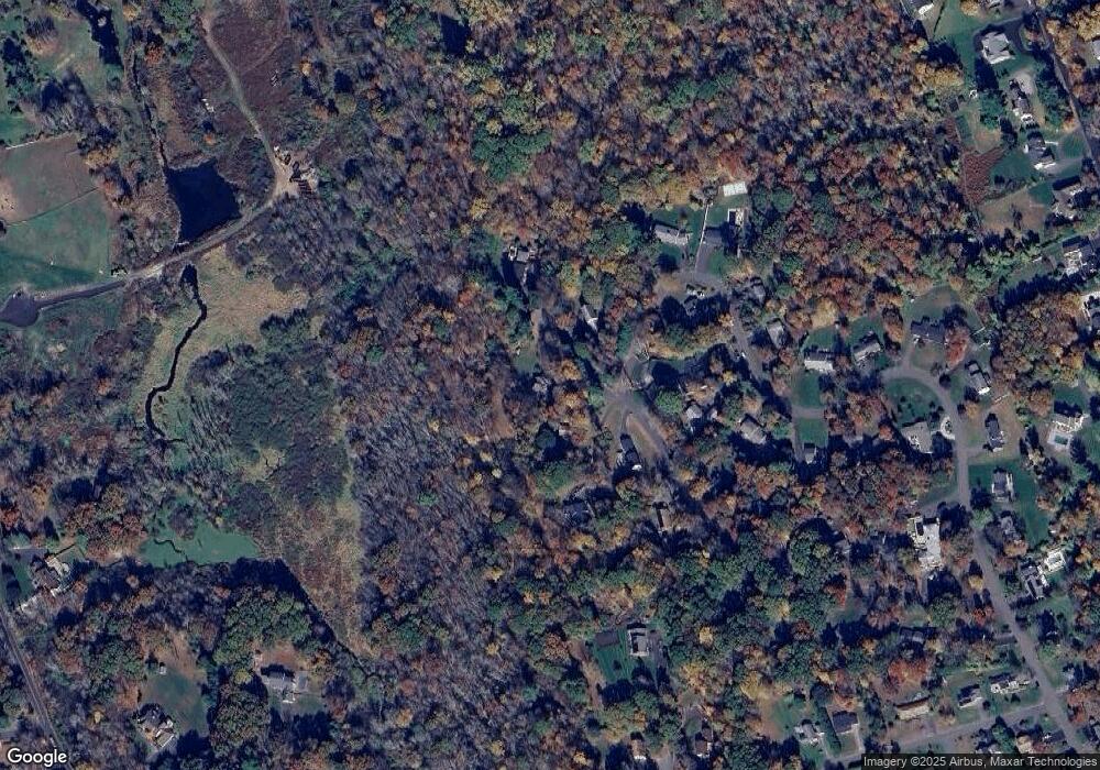
Map
Nearby Homes
- 288 Watertown Rd Unit Lot 5
- 80 Pine Hollow Dr
- 126 Colonial Ave
- 105 Jericho Rd
- 182 Bayberry Terrace
- 72 Carriage Dr
- 3 Pine Ridge Unit 23
- 604 Lakeside Blvd W
- 200 N Farm Rd
- 0 Ferndale Ave
- 32 Yale Ave
- 66 Artillery Rd
- 225 Crest Rd
- 73 Yale Ave
- 110 Wooster Ave
- 0 Mason Ave
- 120 Mason Ave
- 116 Yale Ave
- 25 Parkwood Ave
- 1 Umberfield Rd
- 105 Westwood Dr
- 121 Westwood Dr
- 100 Westwood Dr
- 97 Westwood Dr
- 151 Northwood Dr
- 165 Northwood Dr
- 145 Northwood Dr
- 186 Northwood Dr
- 107 Westwood Dr
- 88 Westwood Dr
- 83 Westwood Dr
- 133 Northwood Dr
- 164 Northwood Dr
- 152 Northwood Dr
- 172 Northwood Dr
- 72 Westwood Dr
- 124 Northwood Dr
- 123 Northwood Dr
- 63 Westwood Dr
- 58 Marney Dr