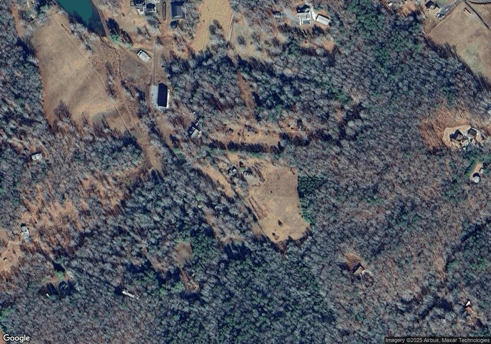
115 Whetstone Way Mineral Bluff, GA 30559
Estimated Value: $283,431 - $504,000
2
Beds
2
Baths
1,344
Sq Ft
$276/Sq Ft
Est. Value
About This Home
This home is located at 115 Whetstone Way, Mineral Bluff, GA 30559 and is currently estimated at $370,858, approximately $275 per square foot. 115 Whetstone Way is a home located in Fannin County with nearby schools including Fannin County High School.
Ownership History
Date
Name
Owned For
Owner Type
Purchase Details
Closed on
Sep 10, 2009
Sold by
Mccready Lois
Bought by
Brady Debra and Brady James
Current Estimated Value
Home Financials for this Owner
Home Financials are based on the most recent Mortgage that was taken out on this home.
Original Mortgage
$88,000
Outstanding Balance
$57,435
Interest Rate
5.15%
Mortgage Type
New Conventional
Estimated Equity
$313,423
Purchase Details
Closed on
Jun 6, 2003
Sold by
Reynolds Connie M
Bought by
Mccready Lois
Purchase Details
Closed on
Jul 22, 1994
Sold by
Whetstone Ira and Whetstone
Bought by
Reynolds Connie M
Purchase Details
Closed on
Nov 6, 1982
Bought by
Whetstone Ira and Whetstone
Create a Home Valuation Report for This Property
The Home Valuation Report is an in-depth analysis detailing your home's value as well as a comparison with similar homes in the area
Home Values in the Area
Average Home Value in this Area
Purchase History
| Date | Buyer | Sale Price | Title Company |
|---|---|---|---|
| Brady Debra | $110,000 | -- | |
| Mccready Lois | $156,000 | -- | |
| Reynolds Connie M | $94,000 | -- | |
| Whetstone Ira | -- | -- |
Source: Public Records
Mortgage History
| Date | Status | Borrower | Loan Amount |
|---|---|---|---|
| Open | Brady Debra | $88,000 |
Source: Public Records
Tax History Compared to Growth
Tax History
| Year | Tax Paid | Tax Assessment Tax Assessment Total Assessment is a certain percentage of the fair market value that is determined by local assessors to be the total taxable value of land and additions on the property. | Land | Improvement |
|---|---|---|---|---|
| 2024 | $1,287 | $140,469 | $48,418 | $92,051 |
| 2023 | $1,247 | $122,320 | $48,418 | $73,902 |
| 2022 | $1,070 | $123,451 | $48,418 | $75,033 |
| 2021 | $992 | $70,774 | $41,502 | $29,272 |
| 2020 | $1,009 | $70,774 | $41,502 | $29,272 |
| 2019 | $953 | $77,178 | $48,418 | $28,760 |
| 2018 | $976 | $63,345 | $34,585 | $28,760 |
| 2017 | $1,127 | $63,704 | $34,585 | $29,119 |
| 2016 | $1,002 | $58,971 | $34,585 | $24,386 |
| 2015 | $1,052 | $59,290 | $34,585 | $24,706 |
| 2014 | $1,059 | $59,442 | $32,437 | $27,005 |
| 2013 | -- | $52,656 | $32,437 | $20,219 |
Source: Public Records
Map
Nearby Homes
- 162 Little Falls Dr
- 41 Little Falls Dr Unit 2
- 41 Little Falls Dr
- LT 23,24 Arbor Creek Trail
- LT 26 Arbor Creek Trail
- 151 Hickory Hills St
- 307 Big Timber Rd
- Lot 21 Arbor Creek Trail
- 11 Arbor Creek Trail
- 21 Arbor Creek Trail
- 10 Arbor Creek Trail
- 35 Arbor Cir
- Lot 10 Arbor Creek Trail
- 6 Arbor Creek Trail
- 2 Arbor Creek Trail
- 3058 River Rd
- 3890 Mineral Bluff Hwy
- 2018 Mineral Bluff Hwy
- 504 Wolf Creek Rd
- 139 Lee Evans Ln
- 116 Whetstone Way
- 500 Wolf Creek Rd
- 367 W R McDonald Rd
- 572 Wolf Creek Rd
- 236 Collie Ln
- 154 Wolf Creek Rd Unit 17
- 154 Wolf Creek Rd
- 396 Wolf Creek Rd
- 154 Wolf Creek Rd
- 154 Wolf Creek Rd
- 706 Wolf Creek Rd
- 3 AC Collie Ln
- 0 Collie Ln Unit 9023487
- 0 Collie Ln Unit 8771811
- 0000 Collie Ln
- 794 Wolf Creek Rd
- 204 W R McDonald Rd
- 624 Sun Valley Dr
