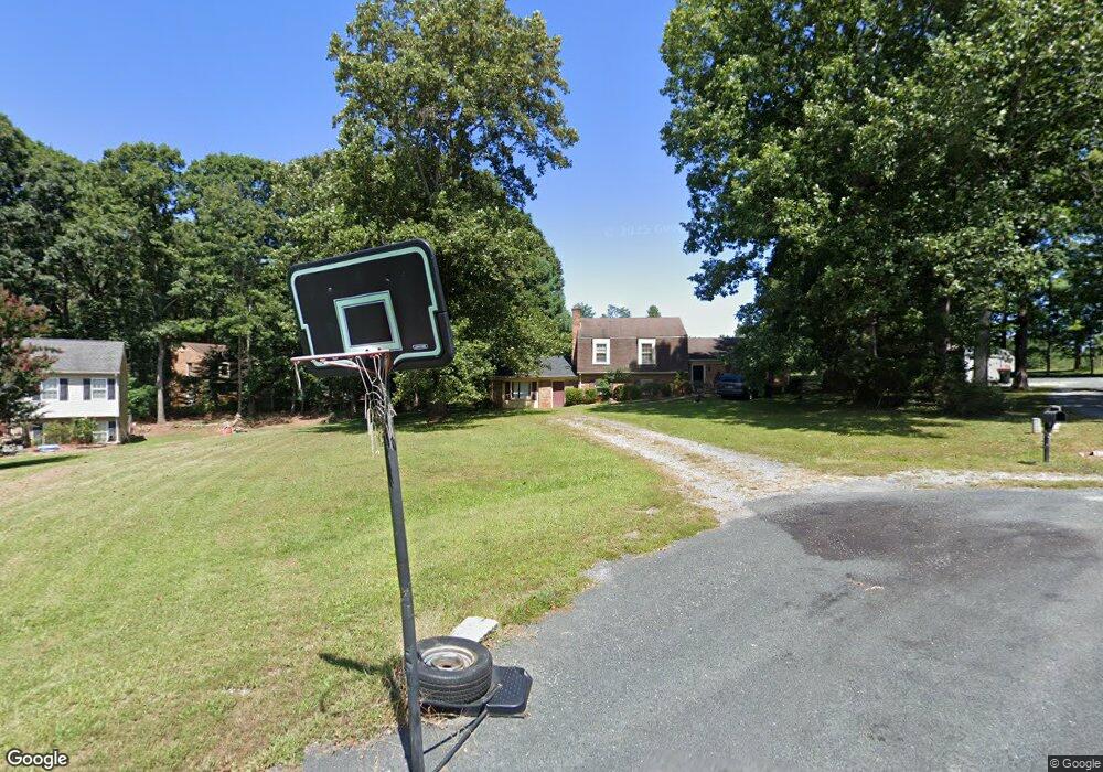
115 Whipporwill Cir Madison Heights, VA 24572
Estimated Value: $278,000 - $308,000
3
Beds
2
Baths
1,324
Sq Ft
$220/Sq Ft
Est. Value
About This Home
This home is located at 115 Whipporwill Cir, Madison Heights, VA 24572 and is currently estimated at $291,450, approximately $220 per square foot. 115 Whipporwill Cir is a home located in Amherst County with nearby schools including Amelon Elementary School, Monelison Middle School, and Amherst County High School.
Ownership History
Date
Name
Owned For
Owner Type
Purchase Details
Closed on
Apr 9, 2019
Sold by
Littke Isabel Denise
Bought by
Barricks Amanda Kellister Adie
Current Estimated Value
Home Financials for this Owner
Home Financials are based on the most recent Mortgage that was taken out on this home.
Original Mortgage
$185,183
Outstanding Balance
$163,846
Interest Rate
4.62%
Mortgage Type
FHA
Estimated Equity
$127,604
Create a Home Valuation Report for This Property
The Home Valuation Report is an in-depth analysis detailing your home's value as well as a comparison with similar homes in the area
Home Values in the Area
Average Home Value in this Area
Purchase History
| Date | Buyer | Sale Price | Title Company |
|---|---|---|---|
| Barricks Amanda Kellister Adie | $188,600 | Mountain View Settlement Llc |
Source: Public Records
Mortgage History
| Date | Status | Borrower | Loan Amount |
|---|---|---|---|
| Open | Barricks Amanda Kellister Adie | $185,183 |
Source: Public Records
Tax History Compared to Growth
Tax History
| Year | Tax Paid | Tax Assessment Tax Assessment Total Assessment is a certain percentage of the fair market value that is determined by local assessors to be the total taxable value of land and additions on the property. | Land | Improvement |
|---|---|---|---|---|
| 2025 | $1,074 | $176,100 | $20,000 | $156,100 |
| 2024 | $1,074 | $176,100 | $20,000 | $156,100 |
| 2023 | $1,074 | $176,100 | $20,000 | $156,100 |
| 2022 | $1,074 | $176,100 | $20,000 | $156,100 |
| 2021 | $1,074 | $176,100 | $20,000 | $156,100 |
| 2020 | $1,074 | $176,100 | $20,000 | $156,100 |
| 2019 | $1,063 | $174,200 | $26,000 | $148,200 |
| 2018 | $1,063 | $174,200 | $26,000 | $148,200 |
| 2017 | $1,063 | $174,200 | $26,000 | $148,200 |
| 2016 | $1,063 | $174,200 | $26,000 | $148,200 |
| 2015 | $976 | $174,200 | $26,000 | $148,200 |
| 2014 | $976 | $174,200 | $26,000 | $148,200 |
Source: Public Records
Map
Nearby Homes
- 250 S Wood Duck Dr
- 571 Dixie Airport Rd
- 121 Crestwood Dr
- 150 Glenwood Dr
- 327 Dixie Airport Rd
- 272 Dixie Airport Rd
- 51 Patrick Ct
- 505 Royal Gardens Ct
- 1358 S Coolwell Rd
- 0 Commonwealth Dr Unit 361760
- 172 Stoney Creek Dr
- 1769 Izaak Walton Rd
- 11 Stoney Creek Dr
- 10 Stoney Creek Dr
- 0 Izaak Walton Rd
- 164 Glade Rd
- 0 Lot 10 & 11 Stoney Creek Dr Unit 345183
- 255 Glade Rd
- 15 Cambridge Ct
- 17 Cambridge Ct
- 113 Whipporwill Cir
- 117 Whipporwill Cir
- 101 N Wood Duck Dr
- 111 Whipporwill Cir
- 116 Whipporwill Cir
- 540 Possum Island Rd
- 108 Whipporwill Cir
- 547 Possum Island Rd
- 104 N Wood Duck Dr
- 134 N Wood Duck Dr
- 112 N Wood Duck Dr
- 567 Possum Island Rd
- 142 N Wood Duck Dr
- 146 N Wood Duck Dr
- 523 Possum Island Rd
- 511 Possum Island Rd
- 604 Possum Island Rd
- 126 N Wood Duck Dr
- 163 N Wood Duck Dr
- 156 N Wood Duck Dr