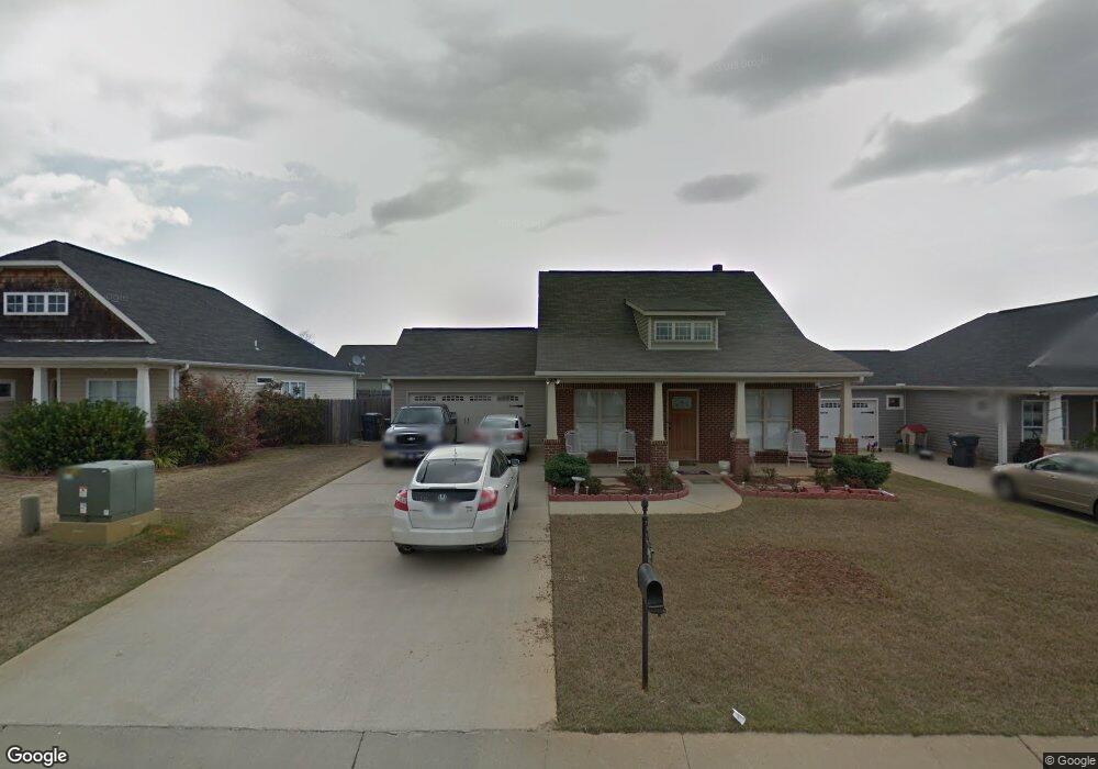
115 Whitestone Trail Calera, AL 35040
Estimated Value: $231,000 - $246,000
--
Bed
--
Bath
1,424
Sq Ft
$168/Sq Ft
Est. Value
About This Home
This home is located at 115 Whitestone Trail, Calera, AL 35040 and is currently estimated at $239,071, approximately $167 per square foot. 115 Whitestone Trail is a home located in Shelby County with nearby schools including Calera Intermediate School, Calera Elementary School, and Calera Middle School.
Ownership History
Date
Name
Owned For
Owner Type
Purchase Details
Closed on
Sep 15, 2021
Sold by
Anderson William A
Bought by
Price Carrileen
Current Estimated Value
Home Financials for this Owner
Home Financials are based on the most recent Mortgage that was taken out on this home.
Original Mortgage
$166,920
Outstanding Balance
$151,885
Interest Rate
2.8%
Mortgage Type
FHA
Estimated Equity
$87,186
Purchase Details
Closed on
Dec 28, 2006
Sold by
Authentic Building Co Llc
Bought by
Anderson William R
Home Financials for this Owner
Home Financials are based on the most recent Mortgage that was taken out on this home.
Original Mortgage
$155,476
Interest Rate
6.19%
Mortgage Type
Unknown
Create a Home Valuation Report for This Property
The Home Valuation Report is an in-depth analysis detailing your home's value as well as a comparison with similar homes in the area
Home Values in the Area
Average Home Value in this Area
Purchase History
| Date | Buyer | Sale Price | Title Company |
|---|---|---|---|
| Price Carrileen | $170,000 | None Available | |
| Anderson William R | $155,476 | None Available |
Source: Public Records
Mortgage History
| Date | Status | Borrower | Loan Amount |
|---|---|---|---|
| Open | Price Carrileen | $166,920 | |
| Previous Owner | Anderson William R | $155,476 |
Source: Public Records
Tax History Compared to Growth
Tax History
| Year | Tax Paid | Tax Assessment Tax Assessment Total Assessment is a certain percentage of the fair market value that is determined by local assessors to be the total taxable value of land and additions on the property. | Land | Improvement |
|---|---|---|---|---|
| 2024 | $1,292 | $23,920 | $0 | $0 |
| 2023 | $0 | $23,140 | $0 | $0 |
| 2022 | $0 | $18,080 | $0 | $0 |
| 2021 | $853 | $16,560 | $0 | $0 |
| 2020 | $798 | $15,540 | $0 | $0 |
| 2019 | $759 | $14,820 | $0 | $0 |
| 2017 | $745 | $14,560 | $0 | $0 |
| 2015 | $718 | $14,060 | $0 | $0 |
| 2014 | $723 | $14,140 | $0 | $0 |
Source: Public Records
Map
Nearby Homes
- 124 Aberdeen Loop
- 212 Aberdeen Loop
- 152 Aberdeen Dr
- 152 Aberdeen Loop
- 156 Aberdeen Loop
- 156 Aberdeen Dr
- 253 Union Station Dr
- 140 Aberdeen Loop
- 589 Waterstone Dr
- 136 Aberdeen Loop
- 99 Aberdeen Dr
- 123 Aberdeen Loop
- 95 Aberdeen Dr
- 128 Aberdeen Loop
- 119 Aberdeen Loop
- 87 Aberdeen Dr
- 212 Creekstone Trail
- 91 Aberdeen Dr
- 79 Aberdeen Dr
- 71 Aberdeen Dr
- 119 Whitestone Trail
- 111 Whitestone Trail
- 289 Stonecreek Place
- 111 Moss Stone Ln
- 120 Whitestone Trail
- 283 Stonecreek Place
- 127 Whitestone Trail
- 116 Whitestone Trail
- 112 Whitestone Trail
- 115 Moss Stone Ln
- 124 Whitestone Trail
- 296 Stonecreek Place
- 292 Stonecreek Place
- 119 Moss Stone Ln
- 279 Stonecreek Place
- 100 Whitestone Trail
- 128 Whitestone Trail
- 108 Whitestone Trail
- 123 Moss Stone Ln
- 284 Stonecreek Place