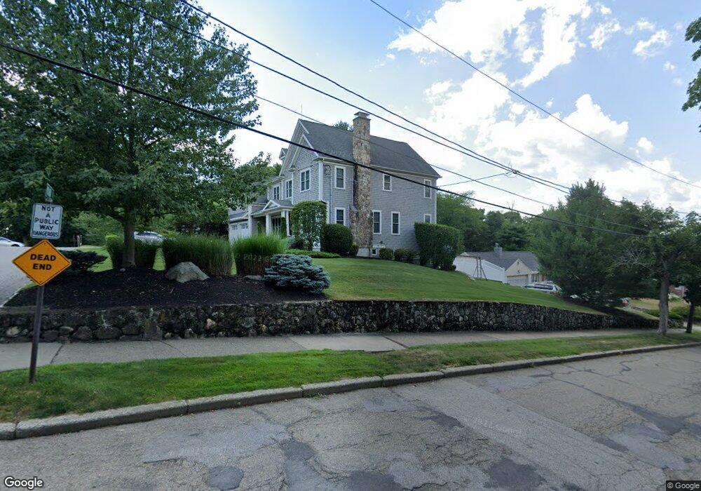
115 Willard St Newton, MA 02461
Newton Highlands NeighborhoodEstimated Value: $3,077,457 - $3,798,000
5
Beds
6
Baths
6,000
Sq Ft
$580/Sq Ft
Est. Value
About This Home
This home is located at 115 Willard St, Newton, MA 02461 and is currently estimated at $3,482,152, approximately $580 per square foot. 115 Willard St is a home located in Middlesex County with nearby schools including Countryside Elementary School, Charles E Brown Middle School, and Newton South High School.
Ownership History
Date
Name
Owned For
Owner Type
Purchase Details
Closed on
Mar 31, 2011
Sold by
Golden Dev Corp
Bought by
Barouch Fina C and Barouch Dan H
Current Estimated Value
Purchase Details
Closed on
Oct 29, 2009
Sold by
Cohen Joseph H
Bought by
Golden Dev Corp
Home Financials for this Owner
Home Financials are based on the most recent Mortgage that was taken out on this home.
Original Mortgage
$1,200,000
Interest Rate
5.06%
Mortgage Type
Purchase Money Mortgage
Create a Home Valuation Report for This Property
The Home Valuation Report is an in-depth analysis detailing your home's value as well as a comparison with similar homes in the area
Home Values in the Area
Average Home Value in this Area
Purchase History
| Date | Buyer | Sale Price | Title Company |
|---|---|---|---|
| Barouch Fina C | $1,710,000 | -- | |
| Golden Dev Corp | $525,000 | -- |
Source: Public Records
Mortgage History
| Date | Status | Borrower | Loan Amount |
|---|---|---|---|
| Previous Owner | Golden Dev Corp | $1,200,000 |
Source: Public Records
Tax History Compared to Growth
Tax History
| Year | Tax Paid | Tax Assessment Tax Assessment Total Assessment is a certain percentage of the fair market value that is determined by local assessors to be the total taxable value of land and additions on the property. | Land | Improvement |
|---|---|---|---|---|
| 2025 | $30,898 | $3,152,900 | $1,120,100 | $2,032,800 |
| 2024 | $29,876 | $3,061,100 | $1,087,500 | $1,973,600 |
| 2023 | $29,182 | $2,866,600 | $847,800 | $2,018,800 |
| 2022 | $27,923 | $2,654,300 | $785,000 | $1,869,300 |
| 2021 | $26,944 | $2,504,100 | $740,600 | $1,763,500 |
| 2020 | $26,143 | $2,504,100 | $740,600 | $1,763,500 |
| 2019 | $25,406 | $2,431,200 | $719,000 | $1,712,200 |
| 2018 | $24,917 | $2,302,900 | $656,400 | $1,646,500 |
| 2017 | $5,399 | $2,172,500 | $619,200 | $1,553,300 |
| 2016 | $23,106 | $2,030,400 | $578,700 | $1,451,700 |
| 2015 | $22,031 | $1,897,600 | $540,800 | $1,356,800 |
Source: Public Records
Map
Nearby Homes
- 51 Carl St
- 116 Upland Ave
- 128 Charlemont St
- 36 Cannon St
- 36 Roland St
- 15 Buff Cir
- 250 Woodcliff Rd
- 415 Dedham St Unit D
- 1308 Walnut St
- 1292 Walnut St
- 183 Oak St Unit 307
- 183 Oak St Unit 205
- 3 Glenmore Terrace Unit 2
- 66 Linden St
- 125 Oakdale Rd
- 19 Selwyn Rd
- 17 Circuit Ave Unit 2
- 1 Williams Ct
- 1629 Centre St
- 12 Shawmut Park
- 231 Upland Ave
- 119 Willard St
- 221 Upland Ave
- 237 Upland Ave
- 120 Willard St
- 222 Upland Ave
- 236 Upland Ave
- 209 Upland Ave
- 241 Upland Ave
- 244 Upland Ave
- 264 Winchester St
- 272 Winchester St
- 98 Bound Brook Rd
- 284 Winchester St
- 256 Winchester St
- 252 Upland Ave
- 210 Upland Ave
- 290 Winchester St
- 290 Winchester St Unit na
- 88 Bound Brook Rd