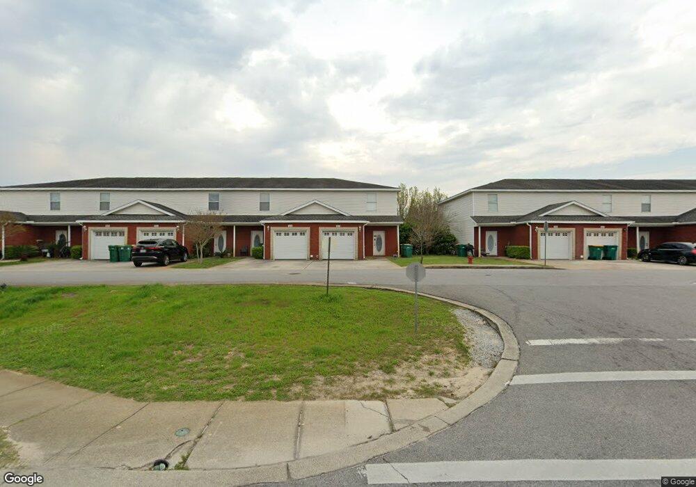
1150 Airport Rd Unit 142 Destin, FL 32541
Estimated Value: $285,000 - $320,000
3
Beds
2
Baths
1,440
Sq Ft
$212/Sq Ft
Est. Value
About This Home
This home is located at 1150 Airport Rd Unit 142, Destin, FL 32541 and is currently estimated at $305,449, approximately $212 per square foot. 1150 Airport Rd Unit 142 is a home located in Okaloosa County with nearby schools including Destin Elementary School, Destin Middle School, and Fort Walton Beach High School.
Ownership History
Date
Name
Owned For
Owner Type
Purchase Details
Closed on
Apr 1, 2019
Sold by
Guagliardo Robert Joseph and Guagliardo Christen
Bought by
Byrne Thomas J and Byrne Linda
Current Estimated Value
Home Financials for this Owner
Home Financials are based on the most recent Mortgage that was taken out on this home.
Original Mortgage
$133,125
Outstanding Balance
$117,041
Interest Rate
4.3%
Mortgage Type
New Conventional
Estimated Equity
$188,408
Purchase Details
Closed on
Apr 6, 2017
Sold by
Pensco Trsut Company
Bought by
Guagliardo Robert Joseph and Guagliardo Christen
Home Financials for this Owner
Home Financials are based on the most recent Mortgage that was taken out on this home.
Original Mortgage
$171,717
Interest Rate
4.16%
Mortgage Type
New Conventional
Purchase Details
Closed on
Dec 16, 2005
Sold by
Quail Lake Development Llc
Bought by
Pensco Trust Co and William G Kilpatrick Ira Account #Ki1bv
Create a Home Valuation Report for This Property
The Home Valuation Report is an in-depth analysis detailing your home's value as well as a comparison with similar homes in the area
Home Values in the Area
Average Home Value in this Area
Purchase History
| Date | Buyer | Sale Price | Title Company |
|---|---|---|---|
| Byrne Thomas J | $177,500 | Emerald Coast Title Svcs Llc | |
| Guagliardo Robert Joseph | $170,000 | Aqua Title Services | |
| Pensco Trust Co | $149,000 | Fatco |
Source: Public Records
Mortgage History
| Date | Status | Borrower | Loan Amount |
|---|---|---|---|
| Open | Byrne Thomas J | $133,125 | |
| Previous Owner | Guagliardo Robert Joseph | $171,717 |
Source: Public Records
Tax History Compared to Growth
Tax History
| Year | Tax Paid | Tax Assessment Tax Assessment Total Assessment is a certain percentage of the fair market value that is determined by local assessors to be the total taxable value of land and additions on the property. | Land | Improvement |
|---|---|---|---|---|
| 2024 | $2,691 | $252,914 | $45,000 | $207,914 |
| 2023 | $2,691 | $236,762 | $35,000 | $201,762 |
| 2022 | $2,416 | $205,796 | $35,000 | $170,796 |
| 2021 | $2,212 | $178,154 | $35,000 | $143,154 |
| 2020 | $2,059 | $164,582 | $35,000 | $129,582 |
| 2019 | $1,892 | $149,133 | $35,000 | $114,133 |
| 2018 | $1,756 | $136,748 | $0 | $0 |
| 2017 | $1,666 | $127,502 | $0 | $0 |
| 2016 | $1,567 | $121,469 | $0 | $0 |
| 2015 | $1,475 | $113,425 | $0 | $0 |
| 2014 | $1,323 | $98,899 | $0 | $0 |
Source: Public Records
Map
Nearby Homes
- 1119 Quail Cir
- 4000 Gulf Terrace Dr Unit 257
- 4000 Gulf Terrace Dr Unit 210
- 4000 Gulf Terrace Dr Unit 1000
- 4000 Gulf Terrace Dr Unit 134
- 4000 Gulf Terrace Dr Unit 228
- 4000 Gulf Terrace Dr Unit 276
- 4000 Gulf Terrace Dr Unit 2007
- 4000 Gulf Terrace Dr Unit 122
- 4000 Gulf Terrace Dr Unit 282
- 4000 Gulf Terrace Dr Unit 159
- 4000 Gulf Terrace Dr Unit 108
- 4000 Gulf Terrace Dr Unit 112
- 4000 Gulf Terrace Dr Unit 189
- 4000 Gulf Terrace Dr Unit 213
- 4000 Gulf Terrace Dr Unit 2008
- 4000 Gulf Terrace Dr Unit 137
- 305 Mattie M Kelly Blvd
- 289 Mattie M Kelly Blvd
- 1014 Airport Rd Unit 126
- 1150 Airport Rd
- 1150 Airport Rd Unit 134
- 1150 Airport Rd
- 1150 Airport Rd Unit 130
- 1150 Airport Rd Unit 165
- 1150 Airport Rd Unit 161
- 1150 Airport Rd Unit 160
- 1150 Airport Rd Unit 159
- 1150 Airport Rd Unit 158
- 1150 Airport Rd Unit 157
- 1150 Airport Rd Unit 155
- 1150 Airport Rd Unit 154
- 1150 Airport Rd Unit 152
- 1150 Airport Rd Unit 151
- 1150 Airport Rd Unit 150
- 1150 Airport Rd Unit 148
- 1150 Airport Rd Unit 145
- 1150 Airport Rd Unit 139
- 1150 Airport Rd Unit 136
- 1150 Airport Rd Unit 135