Estimated Value: $412,000 - $481,000
3
Beds
2
Baths
1,646
Sq Ft
$272/Sq Ft
Est. Value
About This Home
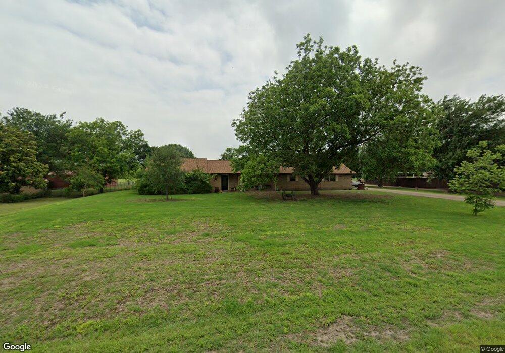
This home is located at 1150 E Stone Rd, Wylie, TX 75098 and is currently estimated at $447,733, approximately $272 per square foot. 1150 E Stone Rd is a home located in Collin County with nearby schools including Wally Watkins Elementary School, AB Harrison Intermediate School, and Grady Burnett J High School.
Ownership History
Date
Name
Owned For
Owner Type
Purchase Details
Closed on
Jun 30, 2000
Sold by
Johnson Johnny R and Johnson Wanda J
Bought by
Foster Billy W and Foster Kathy L
Current Estimated Value
Home Financials for this Owner
Home Financials are based on the most recent Mortgage that was taken out on this home.
Original Mortgage
$125,910
Outstanding Balance
$46,425
Interest Rate
8.66%
Estimated Equity
$401,308
Create a Home Valuation Report for This Property
The Home Valuation Report is an in-depth analysis detailing your home's value as well as a comparison with similar homes in the area
Home Values in the Area
Average Home Value in this Area
Purchase History
| Date | Buyer | Sale Price | Title Company |
|---|---|---|---|
| Foster Billy W | -- | -- |
Source: Public Records
Mortgage History
| Date | Status | Borrower | Loan Amount |
|---|---|---|---|
| Open | Foster Billy W | $125,910 |
Source: Public Records
Tax History Compared to Growth
Tax History
| Year | Tax Paid | Tax Assessment Tax Assessment Total Assessment is a certain percentage of the fair market value that is determined by local assessors to be the total taxable value of land and additions on the property. | Land | Improvement |
|---|---|---|---|---|
| 2025 | $2,645 | $392,872 | $280,394 | $208,274 |
| 2024 | $2,645 | $357,156 | $280,394 | $171,895 |
| 2023 | $2,645 | $324,687 | $112,158 | $212,529 |
| 2022 | $5,128 | $314,309 | $131,950 | $208,050 |
| 2021 | $4,884 | $298,320 | $94,250 | $204,070 |
| 2020 | $4,662 | $259,759 | $94,250 | $165,509 |
| 2019 | $5,145 | $270,507 | $94,250 | $176,257 |
| 2018 | $4,887 | $255,574 | $94,250 | $177,428 |
| 2017 | $4,442 | $240,740 | $94,250 | $146,490 |
| 2016 | $4,076 | $242,479 | $94,250 | $148,229 |
| 2015 | $3,295 | $192,016 | $65,975 | $126,041 |
Source: Public Records
Map
Nearby Homes
- 1201 E Stone Rd
- 1210 Iron Horse St
- 306 Foxwood Ct
- 1320 Cedar Branch Dr
- 1318 Chestnut Hill Dr
- 1321 Iron Horse St
- 312 Maltese Cir
- 825 Forest Edge Ln
- 1209 Surrey Cir
- 407 Sparrow Dr
- 409 Cedar Ridge Dr
- 825 Foxwood Ln
- 1323 Canyon Creek Rd
- 820 Foxwood Ln
- 811 Forest Edge Ln
- 216 Cedar Ridge St
- 1115 Nighthawk Dr
- 1316 Taren Trail
- 1318 Taren Trail
- 1330 Canyon Creek Rd
- 000 Stone Rd
- 1210 E Stone Rd
- 1100 E Stone Rd
- 502 Stonehedge Dr
- 1250 E Stone Rd
- 503 Stonehedge Dr
- 500 Stonehedge Dr
- 820 La Colina
- 1310 E Stone Rd
- 1017 Foxwood Ln
- 1011 Foxwood Ln
- 1311 Clear Creek Dr
- 1005 E Fm 544
- 1219 Cedar Branch Dr
- 1309 Clear Creek Dr
- 1217 Cedar Branch Dr
- 1019 Foxwood Ln
- 1221 Cedar Branch Dr
- 1215 Cedar Branch Dr
- 1007 Foxwood Ln