1150 Indian Bend Rd Umpqua, OR 97486
Estimated Value: $760,000 - $1,108,000
4
Beds
3
Baths
4,834
Sq Ft
$185/Sq Ft
Est. Value
About This Home
This home is located at 1150 Indian Bend Rd, Umpqua, OR 97486 and is currently estimated at $896,493, approximately $185 per square foot. 1150 Indian Bend Rd is a home located in Douglas County with nearby schools including Oakland Elementary School, Lincoln Middle School, and Oakland High School.
Ownership History
Date
Name
Owned For
Owner Type
Purchase Details
Closed on
Apr 15, 2022
Sold by
Isaeff Marie A
Bought by
Marie A Isaeff Living Trust
Current Estimated Value
Purchase Details
Closed on
Oct 9, 2020
Sold by
Buerke Keith and Isaeff Marie
Bought by
Buerke Joshua M and Isaeff Marie
Purchase Details
Closed on
Oct 6, 2020
Sold by
Buerke Keith and Isaeff Marie
Bought by
Buerke Joshua M and Isaeff Marie
Purchase Details
Closed on
Dec 13, 2016
Sold by
Stierna Robert L and Stierna Sandra L
Bought by
Buerke Keith and Isaeff Marie
Home Financials for this Owner
Home Financials are based on the most recent Mortgage that was taken out on this home.
Original Mortgage
$110,000
Interest Rate
3.54%
Mortgage Type
New Conventional
Create a Home Valuation Report for This Property
The Home Valuation Report is an in-depth analysis detailing your home's value as well as a comparison with similar homes in the area
Home Values in the Area
Average Home Value in this Area
Purchase History
| Date | Buyer | Sale Price | Title Company |
|---|---|---|---|
| Marie A Isaeff Living Trust | -- | None Listed On Document | |
| Buerke Joshua M | -- | None Available | |
| Buerke Joshua M | -- | None Available | |
| Buerke Keith | $440,000 | Western Title & Escrow Co |
Source: Public Records
Mortgage History
| Date | Status | Borrower | Loan Amount |
|---|---|---|---|
| Previous Owner | Buerke Keith | $110,000 |
Source: Public Records
Tax History Compared to Growth
Tax History
| Year | Tax Paid | Tax Assessment Tax Assessment Total Assessment is a certain percentage of the fair market value that is determined by local assessors to be the total taxable value of land and additions on the property. | Land | Improvement |
|---|---|---|---|---|
| 2025 | $4,702 | $549,285 | -- | -- |
| 2024 | $4,572 | $533,287 | -- | -- |
| 2023 | $4,005 | $517,755 | $0 | $0 |
| 2022 | $3,890 | $502,675 | $0 | $0 |
| 2021 | $3,779 | $488,034 | $0 | $0 |
| 2020 | $3,671 | $473,820 | $0 | $0 |
| 2019 | $3,566 | $460,020 | $0 | $0 |
| 2018 | $3,399 | $446,622 | $0 | $0 |
| 2017 | $3,383 | $433,614 | $0 | $0 |
| 2016 | $3,220 | $420,985 | $0 | $0 |
| 2015 | $3,072 | $408,724 | $0 | $0 |
| 2014 | $3,056 | $402,448 | $0 | $0 |
| 2013 | -- | $390,727 | $0 | $0 |
Source: Public Records
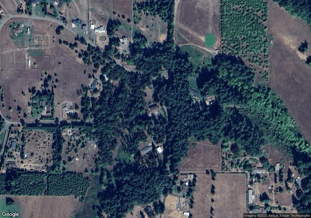
Map
Nearby Homes
- 3463 Briarwood Rd
- 2277 Cougar Creek Rd
- 5795 Hubbard Creek Rd
- 0 Hwy 138 W
- 0 State Highway 138
- 453 Riverwood Ln
- 150 Riverwood Ln
- 687 Hubbard Creek Rd
- 300 Iverson Rd
- 0 Sparks Rd
- 725 Wildflower Ln
- 6841 Oak Hill Rd
- 721 Cole Rd
- 1000 Windy Mountain Ln
- 266 Woodruff Mountain Rd
- 122 Lilly Ct
- 2730 Golfview Ave
- 300 Ridgeway St
- 2657 Greyfox Dr
- 670 Old Homestead Dr
- 401 Indian Bend Rd
- 338 Indian Bend Rd
- 0 Indian Bend Rd
- 524 Indian Bend Rd
- 467 Indian Bend Rd
- 1025 Indian Bend Rd
- 1016 Indian Bend Rd
- 497 Indian Bend Rd
- 980 Indian Bend Rd
- 148 Indian Bend Rd
- 945 Indian Bend Rd
- 14634 Tyee Rd
- 14486 Tyee Rd
- 621 Indian Bend Rd
- 650 Indian Bend Rd
- 679 Indian Bend Rd
- 14552 Tyee Rd
- 687 Indian Bend Rd
- 14349 Tyee Rd
- 14463 Tyee Rd