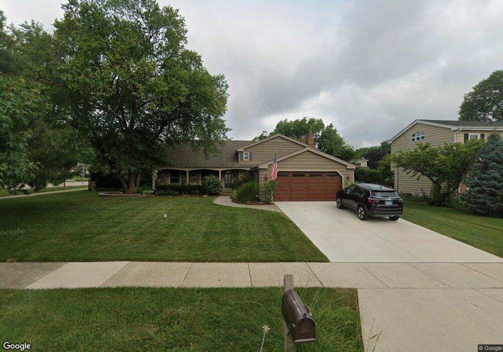
1150 Jamestown Ct Schaumburg, IL 60193
South Schaumburg NeighborhoodEstimated Value: $486,000 - $634,000
4
Beds
3
Baths
1,824
Sq Ft
$300/Sq Ft
Est. Value
About This Home
This home is located at 1150 Jamestown Ct, Schaumburg, IL 60193 and is currently estimated at $547,376, approximately $300 per square foot. 1150 Jamestown Ct is a home located in Cook County with nearby schools including Michael Collins Elementary School, Robert Frost Junior High School, and J B Conant High School.
Ownership History
Date
Name
Owned For
Owner Type
Purchase Details
Closed on
Apr 10, 2013
Sold by
Sallmen Ronald C and Sallmen Criscenza V
Bought by
Sallmen Ronald C and Sallmen Criscenza V
Current Estimated Value
Purchase Details
Closed on
Sep 23, 1998
Sold by
Harris Bank Palatine
Bought by
Sallmen Ronald C and Sallmen Criscenza V
Home Financials for this Owner
Home Financials are based on the most recent Mortgage that was taken out on this home.
Original Mortgage
$165,000
Outstanding Balance
$35,246
Interest Rate
6.9%
Estimated Equity
$512,130
Create a Home Valuation Report for This Property
The Home Valuation Report is an in-depth analysis detailing your home's value as well as a comparison with similar homes in the area
Home Values in the Area
Average Home Value in this Area
Purchase History
| Date | Buyer | Sale Price | Title Company |
|---|---|---|---|
| Sallmen Ronald C | -- | None Available | |
| Sallmen Ronald C | -- | -- |
Source: Public Records
Mortgage History
| Date | Status | Borrower | Loan Amount |
|---|---|---|---|
| Open | Sallmen Ronald C | $165,000 |
Source: Public Records
Tax History Compared to Growth
Tax History
| Year | Tax Paid | Tax Assessment Tax Assessment Total Assessment is a certain percentage of the fair market value that is determined by local assessors to be the total taxable value of land and additions on the property. | Land | Improvement |
|---|---|---|---|---|
| 2024 | $9,813 | $41,000 | $13,970 | $27,030 |
| 2023 | $9,465 | $41,000 | $13,970 | $27,030 |
| 2022 | $9,465 | $41,000 | $13,970 | $27,030 |
| 2021 | $7,199 | $29,745 | $7,620 | $22,125 |
| 2020 | $7,197 | $29,745 | $7,620 | $22,125 |
| 2019 | $7,204 | $33,051 | $7,620 | $25,431 |
| 2018 | $8,070 | $33,075 | $6,667 | $26,408 |
| 2017 | $7,975 | $33,075 | $6,667 | $26,408 |
| 2016 | $8,446 | $33,075 | $6,667 | $26,408 |
| 2015 | $7,446 | $27,512 | $5,715 | $21,797 |
| 2014 | $8,062 | $29,814 | $5,715 | $24,099 |
| 2013 | $7,837 | $29,814 | $5,715 | $24,099 |
Source: Public Records
Map
Nearby Homes
- 1078 Newport Harbor Unit 6101
- 286 Nantucket Harbor Unit 601
- 1100 Boston Harbor Unit 7004
- 421 E Wise Rd
- 1205 Laurel Ln
- 620 S Point Dr
- 1323 S Roselle Rd
- 1420 Indian Hill Dr
- 731 Highpoint Ct
- 13 W Monterey Ave
- 826 Thornton Ct Unit 2AL
- 717 Tipperary Ct Unit 1C
- 733 Limerick Ln Unit 7333D
- 211 Steeple Bush Ln Unit 10343
- 205 Steeple Bush Ln Unit 10444
- 712 Tipperary Ct Unit 1C
- 711 Tipperary Ct Unit 2D
- 134 Lunt Ave
- 727 Killarney Ct Unit 2D
- 1531 Marion St
- 1146 Jamestown Ct
- 1151 Crest Ct
- 1147 Crest Ct
- 1142 Jamestown Ct
- 1147 Jamestown Ct
- 1143 Jamestown Ct
- 1143 Crest Ct
- 1200 Summit Dr
- 321 E Wise Rd Unit 2
- 1138 Jamestown Ct
- 1139 Jamestown Ct
- 1209 Crest Ct
- 1139 Crest Ct
- 1150 Crest Ct
- 1210 Summit Dr
- 1135 Jamestown Ct
- 1146 Crest Ct
- 1134 Jamestown Ct
- 1138 Crest Ct
- 1142 Crest Ct