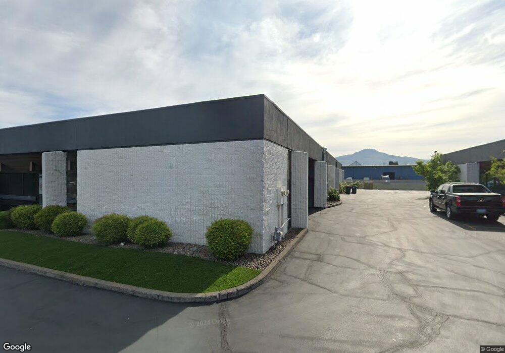
1150 Knutson Ave Unit 6 Medford, OR 97504
Estimated Value: $506,978
--
Bed
--
Bath
3,818
Sq Ft
$133/Sq Ft
Est. Value
About This Home
This home is located at 1150 Knutson Ave Unit 6, Medford, OR 97504 and is currently estimated at $506,978, approximately $132 per square foot. 1150 Knutson Ave Unit 6 is a home located in Jackson County with nearby schools including Wilson Elementary School, Hedrick Middle School, and North Medford High School.
Ownership History
Date
Name
Owned For
Owner Type
Purchase Details
Closed on
Jan 24, 2008
Sold by
Goings F Scott and Gongs Hallie I
Bought by
Goings Hallie I
Current Estimated Value
Purchase Details
Closed on
Jan 31, 2001
Sold by
Community Works Inc
Bought by
Goings Scott and Goings Hallie
Home Financials for this Owner
Home Financials are based on the most recent Mortgage that was taken out on this home.
Original Mortgage
$140,000
Interest Rate
7.13%
Mortgage Type
Commercial
Create a Home Valuation Report for This Property
The Home Valuation Report is an in-depth analysis detailing your home's value as well as a comparison with similar homes in the area
Home Values in the Area
Average Home Value in this Area
Purchase History
| Date | Buyer | Sale Price | Title Company |
|---|---|---|---|
| Goings Hallie I | -- | None Available | |
| Goings Scott | $175,000 | Amerititle |
Source: Public Records
Mortgage History
| Date | Status | Borrower | Loan Amount |
|---|---|---|---|
| Closed | Goings Scott | $140,000 |
Source: Public Records
Tax History Compared to Growth
Tax History
| Year | Tax Paid | Tax Assessment Tax Assessment Total Assessment is a certain percentage of the fair market value that is determined by local assessors to be the total taxable value of land and additions on the property. | Land | Improvement |
|---|---|---|---|---|
| 2025 | $2,352 | $162,190 | -- | $162,190 |
| 2024 | $2,352 | $157,470 | -- | $157,470 |
| 2023 | $2,280 | $0 | $0 | $0 |
| 2022 | -- | -- | -- | -- |
| 2021 | $0 | $0 | $0 | $0 |
| 2020 | $0 | $0 | $0 | $0 |
| 2019 | $0 | $0 | $0 | $0 |
| 2018 | $0 | $0 | $0 | $0 |
| 2017 | $0 | $0 | $0 | $0 |
| 2016 | $0 | $0 | $0 | $0 |
| 2015 | -- | $0 | $0 | $0 |
| 2014 | -- | $0 | $0 | $0 |
Source: Public Records
Map
Nearby Homes
- 246 Reanna Way
- 2215 Poplar Dr Unit 2
- 3937 Wyoming Ln
- 2252 Table Rock Rd Unit 128
- 2252 Table Rock Rd Unit 97
- 2252 Table Rock Rd Unit SPC 102
- 2252 Table Rock Rd Unit SPC 228
- 2252 Table Rock Rd Unit SPC 100
- 2252 Table Rock Rd Unit SPC 232
- 1448 Carolyn Cir
- 529 Black Bear Dr
- 2541 Gould Ave
- 2336 Table Rock Rd
- 1202 Morrow Rd Unit A
- 2722 American Ave
- 1924 Sky Park Dr
- 1212 Morrow Rd
- 1588 Nordic Ct
- 1220 Morrow Rd
- 450 Midway Rd Unit 16
- 1150 Knutson Ave Unit 9
- 1150 Knutson Ave Unit 11
- 1150 Knutson Ave Unit 8-9
- 1150 Knutson Ave Unit 10
- 1150 Knutson Ave Unit 8
- 1150 Knutson Ave
- 1150 Knutson Ave Unit 4
- 1150 Knutson Ave Unit B
- 1163 Knutson Ave
- 2825 Nansen St
- 0 Knutson Ave
- 2870 Nansen Dr
- 2827 Nansen St
- 1050 Knutson Ave Unit 201
- 1050 Knutson Ave
- 0 Bullock Unit 100069475
- 0 Bullock Unit 100231820
- 0 Bullock Unit 102722186
- 0 Bullock Unit 102722184
- 0 Bullock Unit TL 403 220172159