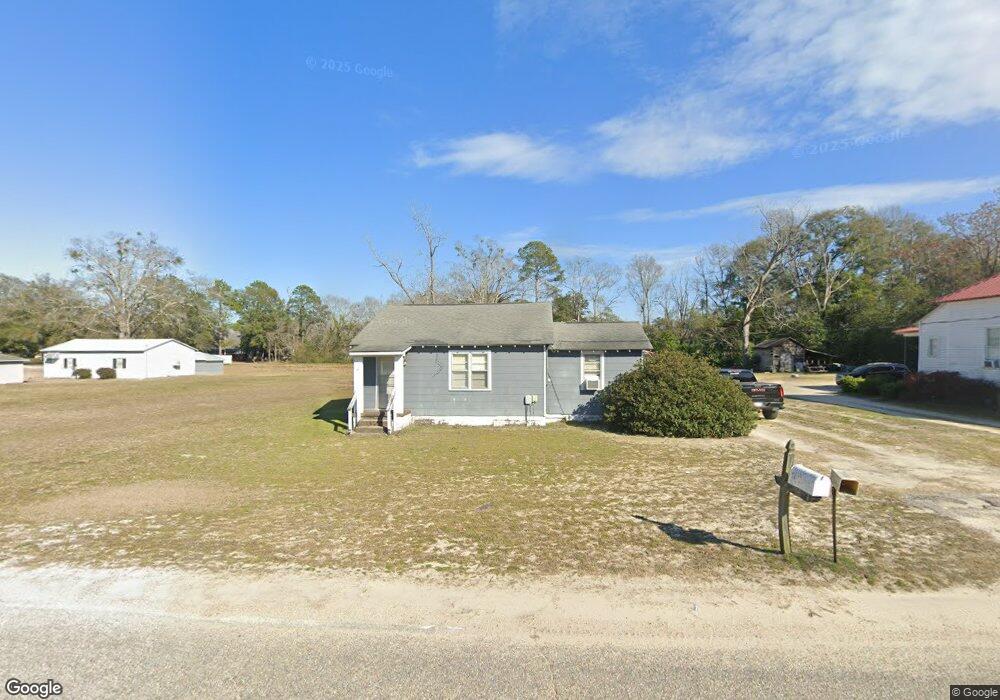
1150 Mcleod Rd Manning, SC 29102
Estimated Value: $51,082 - $347,000
Studio
--
Bath
1,020
Sq Ft
$166/Sq Ft
Est. Value
About This Home
This home is located at 1150 Mcleod Rd, Manning, SC 29102 and is currently estimated at $169,771, approximately $166 per square foot. 1150 Mcleod Rd is a home.
Ownership History
Date
Name
Owned For
Owner Type
Purchase Details
Closed on
Nov 23, 2023
Sold by
Rippy Carol Duke
Bought by
Horton Corbett James
Current Estimated Value
Purchase Details
Closed on
Nov 21, 2023
Sold by
Corbett James Harold
Bought by
Horton Corbett James
Purchase Details
Closed on
Oct 24, 2023
Sold by
Rippy Norma T
Bought by
Horton Corbett James
Purchase Details
Closed on
Nov 26, 2010
Sold by
Rippy Christy J and Rippy Kevin W
Bought by
Rippy Norma T
Create a Home Valuation Report for This Property
The Home Valuation Report is an in-depth analysis detailing your home's value as well as a comparison with similar homes in the area
Purchase History
| Date | Buyer | Sale Price | Title Company |
|---|---|---|---|
| Horton Corbett James | -- | None Listed On Document | |
| Horton Corbett James | -- | None Listed On Document | |
| Horton Corbett James | -- | None Listed On Document | |
| Horton Corbett James | -- | None Listed On Document | |
| Horton Corbett James | -- | None Listed On Document | |
| Horton Corbett James | -- | None Listed On Document | |
| Horton Corbett James | $6,500 | None Listed On Document | |
| Rippy Norma T | -- | None Available |
Source: Public Records
Tax History
| Year | Tax Paid | Tax Assessment Tax Assessment Total Assessment is a certain percentage of the fair market value that is determined by local assessors to be the total taxable value of land and additions on the property. | Land | Improvement |
|---|---|---|---|---|
| 2025 | $231 | $872 | $320 | $552 |
| 2024 | $231 | $872 | $320 | $552 |
| 2023 | $765 | $1,848 | $480 | $1,368 |
| 2022 | $758 | $1,848 | $480 | $1,368 |
| 2021 | $626 | $1,800 | $390 | $1,410 |
| 2020 | $626 | $1,800 | $0 | $0 |
| 2019 | $599 | $1,800 | $0 | $0 |
| 2018 | $577 | $1,800 | $0 | $0 |
| 2017 | $575 | $1,800 | $0 | $0 |
| 2016 | $565 | $1,800 | $0 | $0 |
| 2015 | $595 | $1,919 | $317 | $1,602 |
| 2014 | $586 | $1,919 | $317 | $1,602 |
| 2013 | -- | $1,919 | $317 | $1,602 |
Source: Public Records
Map
Nearby Homes
- 10686 Scott Ave
- 8590 Paxville Hwy
- 0 Snowy River Place Unit Tract A
- 5170 Silo Rd
- 5285 Christine Dr
- 3985 Hwy 15 S Unit 9
- 3985 U S 15
- 3945 Hwy 15s
- 3845 Artesian Dr
- 1105 Peacock St
- 2395 Killdee Dr
- 2340 Killdee Dr
- 3045 Avin Rd
- 0 Beulah Cuttino Rd
- 0 Ardis Rd
- 315 E Clark St
- 116 Elmwood Ave
- 224 E Clark St
- 535 S Hampton St
- 1107 Ardis Rd
Your Personal Tour Guide
Ask me questions while you tour the home.