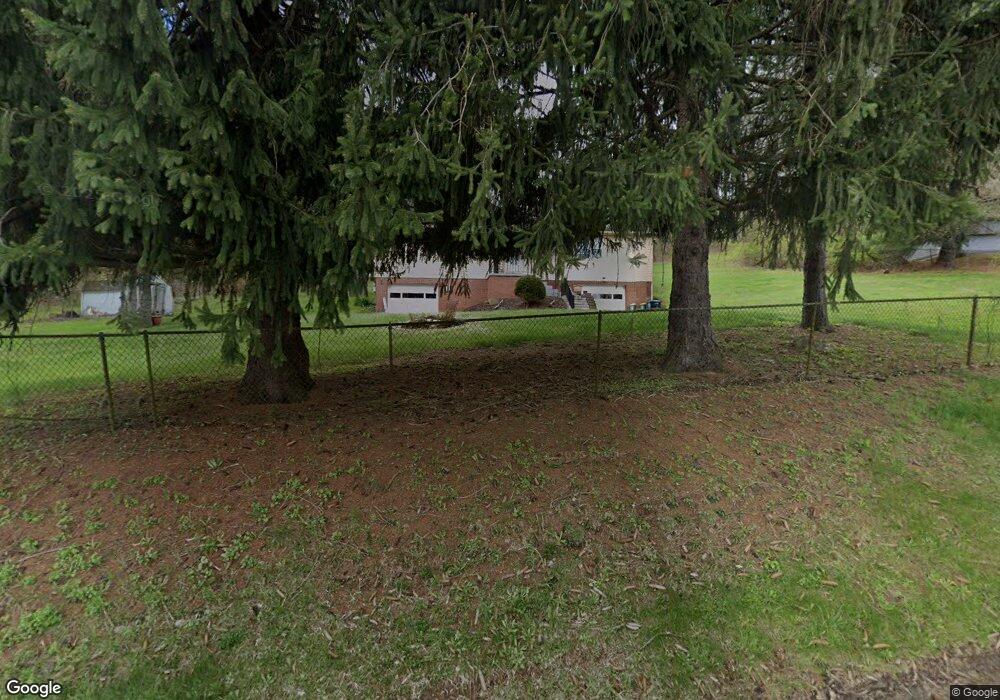
1150 Mohawk Rd Mc Donald, PA 15057
Estimated Value: $574,000 - $641,000
4
Beds
3
Baths
2,554
Sq Ft
$237/Sq Ft
Est. Value
About This Home
This home is located at 1150 Mohawk Rd, Mc Donald, PA 15057 and is currently estimated at $604,318, approximately $236 per square foot. 1150 Mohawk Rd is a home located in Allegheny County with nearby schools including South Fayette Intermediate School, South Fayette Elementary School, and South Fayette Middle School.
Ownership History
Date
Name
Owned For
Owner Type
Purchase Details
Closed on
Oct 27, 2016
Sold by
Jones Nicole D and Jones Sean A
Bought by
Conroy Edwin M and Conroy Joie M
Current Estimated Value
Home Financials for this Owner
Home Financials are based on the most recent Mortgage that was taken out on this home.
Original Mortgage
$358,150
Outstanding Balance
$288,075
Interest Rate
3.48%
Mortgage Type
New Conventional
Estimated Equity
$316,243
Purchase Details
Closed on
Oct 19, 2011
Sold by
Askews Dwayne C and Gilson Mildred A
Bought by
Jones Sean A
Home Financials for this Owner
Home Financials are based on the most recent Mortgage that was taken out on this home.
Original Mortgage
$329,000
Interest Rate
4.08%
Mortgage Type
New Conventional
Create a Home Valuation Report for This Property
The Home Valuation Report is an in-depth analysis detailing your home's value as well as a comparison with similar homes in the area
Home Values in the Area
Average Home Value in this Area
Purchase History
| Date | Buyer | Sale Price | Title Company |
|---|---|---|---|
| Conroy Edwin M | $377,000 | Everest Settlement Services | |
| Jones Sean A | $67,000 | -- |
Source: Public Records
Mortgage History
| Date | Status | Borrower | Loan Amount |
|---|---|---|---|
| Open | Conroy Edwin M | $358,150 | |
| Previous Owner | Jones Sean A | $329,000 |
Source: Public Records
Tax History Compared to Growth
Tax History
| Year | Tax Paid | Tax Assessment Tax Assessment Total Assessment is a certain percentage of the fair market value that is determined by local assessors to be the total taxable value of land and additions on the property. | Land | Improvement |
|---|---|---|---|---|
| 2025 | $11,224 | $310,400 | $67,000 | $243,400 |
| 2024 | $11,224 | $310,400 | $67,000 | $243,400 |
| 2023 | $11,224 | $310,400 | $67,000 | $243,400 |
| 2022 | $11,224 | $310,400 | $67,000 | $243,400 |
| 2021 | $2,936 | $310,400 | $67,000 | $243,400 |
| 2020 | $11,224 | $310,400 | $67,000 | $243,400 |
| 2019 | $11,224 | $310,400 | $67,000 | $243,400 |
| 2018 | $2,936 | $310,400 | $67,000 | $243,400 |
| 2017 | $10,127 | $310,400 | $67,000 | $243,400 |
| 2016 | $1,334 | $282,000 | $67,000 | $215,000 |
| 2015 | $1,334 | $282,000 | $67,000 | $215,000 |
| 2014 | $9,424 | $165,500 | $67,000 | $98,500 |
Source: Public Records
Map
Nearby Homes
- 3105 Deerfield Ridge Dr
- 3103 Deerfield Ridge Dr
- 4132 Battle Ridge Rd
- 4184 Battle Ridge Rd
- 5416 Forest Edge Dr
- 5418 Forest Edge Dr
- 6 Morgan St
- 754 Hickory Grade Rd
- 0 Reed St
- 2100 Crestwood Dr
- 291 Sygan Rd
- 551 Hickory Grade Rd
- 1021 Stonegate Dr
- 539 Hickory Grade Rd
- 315 Meade St
- 5812 Windsor Dr
- 800 Millers Run Rd
- 0 Wabash Ave Unit 1707438
- 34 Wabash Ave
- 7066 Highland Creek Dr
- 1148 Mohawk Rd
- 1147 Mohawk Rd
- 4135 Battleridge Rd
- Lot #4 Mohawk Rd
- Lot #1 Mohawk Rd
- Lot #2 Mohawk Rd
- 1141 Mohawk Rd
- 4136 Battleridge Rd
- 4130 Battleridge Rd
- 1138 Mohawk Rd
- 0 Mohawk Rd Unit 1019375
- Lot 4 Mohawk Rd
- Lot 6 Mohawk Rd
- Lot 5 Mohawk
- 1139 Mohawk Rd
- 4126 Battleridge Rd
- 4138 Battleridge Rd
- 1161 Mohawk Rd
- 1137 Mohawk Rd
- 1136 Mohawk Rd
