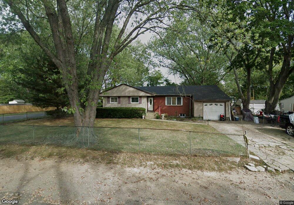
1150 Nugent Ave Bay Shore, NY 11706
Baywood NeighborhoodEstimated Value: $486,000 - $630,000
--
Bed
--
Bath
--
Sq Ft
0.45
Acres
About This Home
This home is located at 1150 Nugent Ave, Bay Shore, NY 11706 and is currently estimated at $574,708. 1150 Nugent Ave is a home located in Suffolk County with nearby schools including Bay Shore Christian School and MDQ Academy.
Ownership History
Date
Name
Owned For
Owner Type
Purchase Details
Closed on
Feb 16, 2001
Sold by
Murray Alice and Reich Antoinette
Bought by
Cisco Wayne
Current Estimated Value
Home Financials for this Owner
Home Financials are based on the most recent Mortgage that was taken out on this home.
Original Mortgage
$109,000
Outstanding Balance
$43,158
Interest Rate
8.37%
Estimated Equity
$531,550
Purchase Details
Closed on
Sep 25, 1997
Sold by
Reich Antoinette and Reich Theodore A
Bought by
Reich Antoinette
Purchase Details
Closed on
Nov 20, 1996
Sold by
Murray William J
Bought by
Murray Alice
Create a Home Valuation Report for This Property
The Home Valuation Report is an in-depth analysis detailing your home's value as well as a comparison with similar homes in the area
Home Values in the Area
Average Home Value in this Area
Purchase History
| Date | Buyer | Sale Price | Title Company |
|---|---|---|---|
| Cisco Wayne | $150,000 | Fidelity National Title Ins | |
| Reich Antoinette | -- | National Attorneys Title Ins | |
| Murray Alice | -- | First American Title Ins Co |
Source: Public Records
Mortgage History
| Date | Status | Borrower | Loan Amount |
|---|---|---|---|
| Open | Cisco Wayne | $109,000 |
Source: Public Records
Tax History Compared to Growth
Tax History
| Year | Tax Paid | Tax Assessment Tax Assessment Total Assessment is a certain percentage of the fair market value that is determined by local assessors to be the total taxable value of land and additions on the property. | Land | Improvement |
|---|---|---|---|---|
| 2024 | $7,657 | $33,300 | $10,500 | $22,800 |
| 2023 | $7,657 | $33,300 | $10,500 | $22,800 |
| 2022 | $6,508 | $33,300 | $10,500 | $22,800 |
| 2021 | $6,508 | $33,300 | $10,500 | $22,800 |
| 2020 | $6,779 | $33,300 | $10,500 | $22,800 |
| 2019 | $6,508 | $0 | $0 | $0 |
| 2018 | -- | $33,300 | $10,500 | $22,800 |
| 2017 | $6,592 | $33,300 | $10,500 | $22,800 |
| 2016 | $6,520 | $33,300 | $10,500 | $22,800 |
| 2015 | -- | $33,300 | $10,500 | $22,800 |
| 2014 | -- | $33,300 | $10,500 | $22,800 |
Source: Public Records
Map
Nearby Homes
- 1609 N Thompson Dr
- 0 Locust Dr Unit KEY913800
- 1119 Nugent Ave
- 1144 Martinstein Ave
- 0 Brentwood St
- 1550 N Gardiner Dr
- 1547 Lincoln Blvd
- 132 Garden City St
- 1224 Fairbanks Ave
- 7A Hemlock Dr Unit 65
- 5B Hemlock Dr Unit 101
- 3C Hemlock Dr
- 1537 N Thompson Dr
- 21 Chimney Ln
- 1614 Brightshore Blvd
- 1528 Baldwin Blvd
- 1 Hemlock Dr Unit C148
- 1524 Pine Acres Blvd
- 1181 Ocean Ave
- 1739 Harrison Ave
- 1148 Nugent Ave
- 120 Deer Park St
- 1152 Nugent Ave
- 1146 Nugent Ave
- 121 Deer Park St
- 124 Deer Park St
- 1614 N Thompson Dr
- 1154 Nugent Ave
- 1620 N Thompson Dr
- 1153 Nugent Ave
- 1151 Nugent Ave
- 1622 N Thompson Dr
- 1624 N Thompson Dr
- 1144 Nugent Ave
- 1159 Nugent Ave
- 1626 N Thompson Dr
- 1149 Nugent Ave
- 1158 Nugent Ave
- 1163 Nugent Ave
- 1612 N Thompson Dr