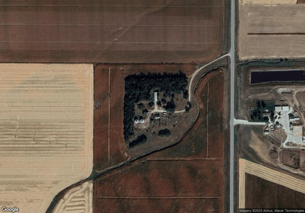
1151 Highway 9 West Point, NE 68788
Estimated Value: $408,000 - $812,615
--
Bed
2
Baths
1,984
Sq Ft
$308/Sq Ft
Est. Value
About This Home
This home is located at 1151 Highway 9, West Point, NE 68788 and is currently estimated at $610,308, approximately $307 per square foot. 1151 Highway 9 is a home located in Cuming County with nearby schools including West Point-Beemer Junior/Senior High School, Guardian Angels Elementary School, and St. Paul Lutheran School.
Create a Home Valuation Report for This Property
The Home Valuation Report is an in-depth analysis detailing your home's value as well as a comparison with similar homes in the area
Home Values in the Area
Average Home Value in this Area
Tax History Compared to Growth
Tax History
| Year | Tax Paid | Tax Assessment Tax Assessment Total Assessment is a certain percentage of the fair market value that is determined by local assessors to be the total taxable value of land and additions on the property. | Land | Improvement |
|---|---|---|---|---|
| 2025 | $4,192 | $815,245 | $649,995 | $165,250 |
| 2024 | $4,192 | $704,050 | $562,425 | $141,625 |
| 2023 | $5,744 | $643,320 | $503,690 | $139,630 |
| 2022 | $5,857 | $591,650 | $476,955 | $114,695 |
| 2021 | $6,068 | $601,380 | $494,680 | $106,700 |
| 2020 | $6,279 | $629,525 | $536,515 | $93,010 |
| 2019 | $6,325 | $619,865 | $535,840 | $84,025 |
| 2018 | $6,568 | $644,275 | $557,670 | $86,605 |
| 2017 | $6,138 | $583,010 | $502,805 | $80,205 |
| 2016 | $6,118 | $543,220 | $468,225 | $74,995 |
| 2015 | $6,225 | $504,045 | $429,050 | $74,995 |
| 2014 | $3,782 | $445,040 | $365,755 | $79,285 |
| 2013 | $3,782 | $340,220 | $259,880 | $80,340 |
Source: Public Records
Map
Nearby Homes