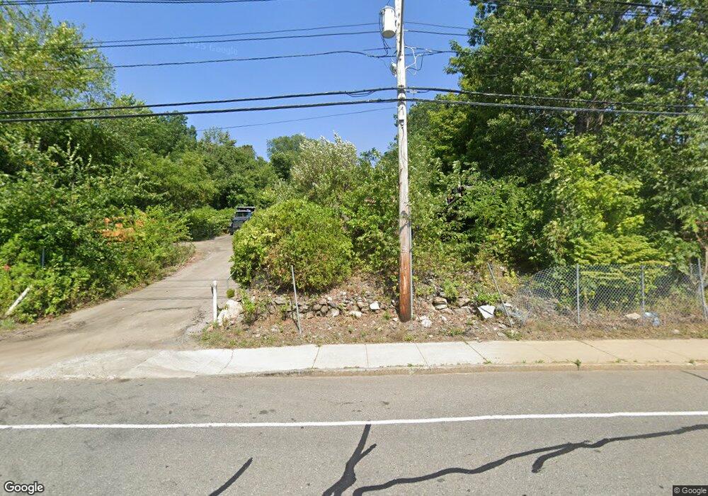
1151 Millbury St Worcester, MA 01607
Broadmeadow Brook NeighborhoodEstimated Value: $268,838
3
Beds
1
Bath
969
Sq Ft
$277/Sq Ft
Est. Value
About This Home
This home is located at 1151 Millbury St, Worcester, MA 01607 and is currently estimated at $268,838, approximately $277 per square foot. 1151 Millbury St is a home located in Worcester County with nearby schools including Quinsigamond School, Jacob Hiatt Magnet School, and Chandler Magnet.
Ownership History
Date
Name
Owned For
Owner Type
Purchase Details
Closed on
Nov 9, 2015
Sold by
Amorello Daniel T
Bought by
Broton Corp
Current Estimated Value
Purchase Details
Closed on
Apr 30, 2013
Sold by
J E Amorello Inc
Bought by
Amorello Daniel T
Purchase Details
Closed on
Mar 15, 2010
Sold by
Enterprise Bk
Bought by
J E Amorello Inc
Purchase Details
Closed on
Nov 20, 2008
Sold by
Tfu Inc
Bought by
Enterprise B&T Co
Purchase Details
Closed on
Mar 2, 2001
Sold by
1151 Millbury St Nt and Antinarella Edward A
Bought by
Kopoyan Gerard
Create a Home Valuation Report for This Property
The Home Valuation Report is an in-depth analysis detailing your home's value as well as a comparison with similar homes in the area
Home Values in the Area
Average Home Value in this Area
Purchase History
| Date | Buyer | Sale Price | Title Company |
|---|---|---|---|
| Broton Corp | -- | -- | |
| Amorello Daniel T | $120,000 | -- | |
| J E Amorello Inc | $100,000 | -- | |
| Enterprise B&T Co | $80,000 | -- | |
| Kopoyan Gerard | $60,000 | -- |
Source: Public Records
Tax History Compared to Growth
Tax History
| Year | Tax Paid | Tax Assessment Tax Assessment Total Assessment is a certain percentage of the fair market value that is determined by local assessors to be the total taxable value of land and additions on the property. | Land | Improvement |
|---|---|---|---|---|
| 2025 | $3,694 | $129,100 | $113,200 | $15,900 |
| 2024 | $3,878 | $129,100 | $113,200 | $15,900 |
| 2023 | $3,876 | $124,000 | $113,200 | $10,800 |
| 2022 | $4,133 | $124,000 | $113,200 | $10,800 |
| 2021 | $4,489 | $124,000 | $113,200 | $10,800 |
| 2020 | $4,360 | $124,000 | $113,200 | $10,800 |
| 2019 | $4,226 | $121,100 | $110,300 | $10,800 |
| 2018 | $4,121 | $121,100 | $110,300 | $10,800 |
| 2017 | $3,988 | $121,100 | $110,300 | $10,800 |
| 2016 | $4,115 | $121,100 | $110,300 | $10,800 |
| 2015 | $3,843 | $121,100 | $110,300 | $10,800 |
| 2014 | $3,527 | $114,400 | $110,300 | $4,100 |
Source: Public Records
Map
Nearby Homes
- 422 Granite St
- 405 Granite St
- 10 Gensell Ave
- 1295 Millbury St Unit B
- 103 Blackstone River Rd
- 78 Greenwood St
- 4 Crest Ave
- 11 Gibbs St Unit 12
- 29 Steele St
- 55 Whipple St
- 10 Steele St
- 17 Thenius St
- 557 SW Cutoff Unit 79
- 557 SW Cutoff Unit 107
- 557 SW Cutoff Unit 17
- 145 Loxwood St
- 15 Clearview Terrace Unit 68
- 55 Tennyson St
- 28 Bittersweet Blvd
- The Murray Plan at Clearview - Homes
- 130 Saint Louis St
- 139 Saint Louis St
- 16 Winnipeg St
- 22 Winnipeg St
- 8 Winnipeg St
- 131 Saint Louis St
- 32 Winnipeg St
- 2 Winnipeg St
- 123 Saint Louis St
- 17 Winnipeg St
- 9 Winnipeg St
- 25 Winnipeg St
- 110 Saint Louis St
- 1117 Millbury St
- 115 Saint Louis St
- 8 Saint Anthony St
- 1189 Millbury St
- 12 Saint Anthony St
- 12-14 St Anthony St
- 28 Saint Anthony St
