1151 Millstone Run Bogart, GA 30622
Jennings Mill NeighborhoodEstimated Value: $655,000 - $844,000
4
Beds
4
Baths
3,008
Sq Ft
$237/Sq Ft
Est. Value
About This Home
This home is located at 1151 Millstone Run, Bogart, GA 30622 and is currently estimated at $713,623, approximately $237 per square foot. 1151 Millstone Run is a home located in Oconee County with nearby schools including Malcom Bridge Elementary School, Malcom Bridge Middle School, and North Oconee High School.
Ownership History
Date
Name
Owned For
Owner Type
Purchase Details
Closed on
Apr 18, 2005
Sold by
Mitchell Mark H
Bought by
Smith Brian and Smith Patricia
Current Estimated Value
Home Financials for this Owner
Home Financials are based on the most recent Mortgage that was taken out on this home.
Original Mortgage
$259,000
Interest Rate
5.88%
Mortgage Type
New Conventional
Purchase Details
Closed on
Dec 19, 1997
Sold by
Skukalek Edward and Skukalek S
Bought by
Mitchell Mark H
Create a Home Valuation Report for This Property
The Home Valuation Report is an in-depth analysis detailing your home's value as well as a comparison with similar homes in the area
Home Values in the Area
Average Home Value in this Area
Purchase History
| Date | Buyer | Sale Price | Title Company |
|---|---|---|---|
| Smith Brian | $369,000 | -- | |
| Mitchell Mark H | $272,000 | -- |
Source: Public Records
Mortgage History
| Date | Status | Borrower | Loan Amount |
|---|---|---|---|
| Closed | Smith Brian | $259,000 |
Source: Public Records
Tax History Compared to Growth
Tax History
| Year | Tax Paid | Tax Assessment Tax Assessment Total Assessment is a certain percentage of the fair market value that is determined by local assessors to be the total taxable value of land and additions on the property. | Land | Improvement |
|---|---|---|---|---|
| 2024 | $4,082 | $219,102 | $43,200 | $175,902 |
| 2023 | $4,057 | $200,072 | $36,000 | $164,072 |
| 2022 | $3,699 | $174,408 | $36,000 | $138,408 |
| 2021 | $3,674 | $160,704 | $36,000 | $124,704 |
| 2020 | $3,418 | $149,427 | $36,000 | $113,427 |
| 2019 | $3,282 | $143,562 | $36,000 | $107,562 |
| 2018 | $3,081 | $132,090 | $36,000 | $96,090 |
| 2017 | $2,903 | $124,572 | $36,000 | $88,572 |
| 2016 | $2,831 | $121,504 | $36,000 | $85,504 |
| 2015 | $2,842 | $121,716 | $36,000 | $85,716 |
| 2014 | $2,812 | $117,800 | $36,000 | $81,800 |
| 2013 | -- | $123,004 | $40,800 | $82,204 |
Source: Public Records
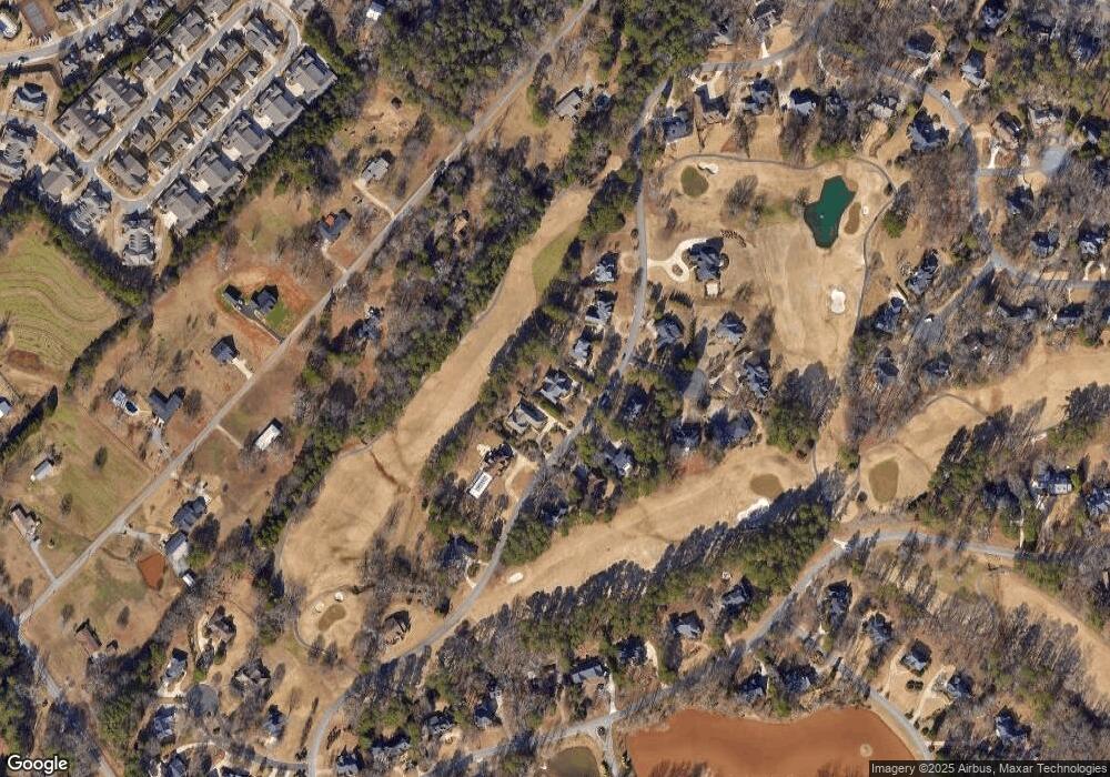
Map
Nearby Homes
- 1090 Kenway Dr
- 1261 Meriweather Dr
- 1266 Orchard Way
- 2232 Orchard Cir
- 1011 Meriweather Dr
- 1102 Blackstone Ct
- 1070 Ramser Dr
- 493 Park West Blvd
- 355 Commerce Blvd
- 1031 Vend Dr
- 1020 Tower Place
- 425 Classic Rd
- 1110 Colorado Bend
- 238 Covington Place
- 228 Covington Place
- 265 Bedford Dr
- 1030 Chambers Ct
- 117 Covington Place
- 1141 Millstone Run
- 1161 Millstone Run
- 1161 Millstone Run
- 1081 Millstone Run
- 1330 Millstone Run
- 1181 Millstone Run
- 1160 Millstone Run
- 1140 Millstone Run
- 1140 Millstone Run
- 1131 Millstone Run
- 1131 Millstone Run
- 1130 Millstone Run
- 1180 Millstone Run
- 1180 Millstone Run
- 1191 Millstone Run
- 1020 Millstone Point
- 1020 Millstone Point
- 1190 Millstone Run
- 1021 Millstone Point