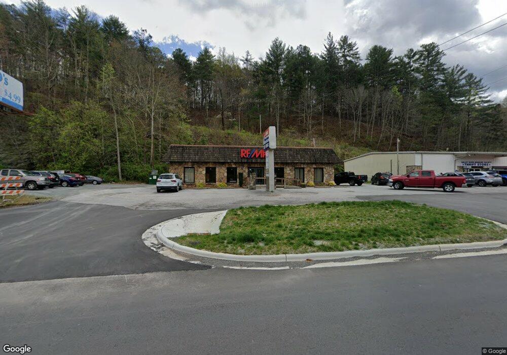
1151 U S 64 Murphy, NC 28906
Estimated Value: $541,000 - $1,418,302
1
Bed
3
Baths
600
Sq Ft
$1,465/Sq Ft
Est. Value
About This Home
This home is located at 1151 U S 64, Murphy, NC 28906 and is currently estimated at $878,767, approximately $1,464 per square foot. 1151 U S 64 is a home located in Cherokee County with nearby schools including Murphy Elementary School, Murphy Middle School, and Murphy High School.
Ownership History
Date
Name
Owned For
Owner Type
Purchase Details
Closed on
Mar 16, 2025
Sold by
Mchan Charles W and Mchan Martha B
Bought by
Charles W Mchan And Martha B Mchan Revocable and Mchan
Current Estimated Value
Purchase Details
Closed on
Oct 25, 2021
Sold by
Mchan Martha and Mchan Charles W
Bought by
Mchan 1145 Building Llc
Purchase Details
Closed on
Mar 1, 2004
Bought by
Mchan Martha
Create a Home Valuation Report for This Property
The Home Valuation Report is an in-depth analysis detailing your home's value as well as a comparison with similar homes in the area
Home Values in the Area
Average Home Value in this Area
Purchase History
| Date | Buyer | Sale Price | Title Company |
|---|---|---|---|
| Charles W Mchan And Martha B Mchan Revocable | -- | None Listed On Document | |
| Charles W Mchan And Martha B Mchan Revocable | -- | None Listed On Document | |
| Mchan 1145 Building Llc | -- | None Available | |
| Mchan Martha | -- | -- |
Source: Public Records
Tax History Compared to Growth
Tax History
| Year | Tax Paid | Tax Assessment Tax Assessment Total Assessment is a certain percentage of the fair market value that is determined by local assessors to be the total taxable value of land and additions on the property. | Land | Improvement |
|---|---|---|---|---|
| 2025 | $5,647 | $779,040 | $0 | $0 |
| 2024 | $5,650 | $779,040 | $0 | $0 |
| 2023 | $5,666 | $779,040 | $0 | $0 |
| 2022 | $5,666 | $779,040 | $0 | $0 |
| 2021 | $0 | $1,211,040 | $0 | $0 |
| 2020 | $6,800 | $1,211,040 | $0 | $0 |
| 2019 | $5,219 | $823,090 | $0 | $0 |
| 2018 | $5,222 | $823,090 | $0 | $0 |
| 2017 | $5,222 | $823,090 | $0 | $0 |
| 2016 | $5,172 | $823,090 | $0 | $0 |
| 2015 | $4,974 | $782,460 | $458,480 | $323,980 |
| 2012 | -- | $782,600 | $458,480 | $324,120 |
Source: Public Records
Map
Nearby Homes
- 96 Holiday Dr
- 1033 Cardinal Rd
- 319 Woodside Acres Dr
- 44 Robin Rd
- 215 Warren Dr
- TBD Robin Rd
- 46 Robin Rd
- Lot 10 Holly Hill Ridge
- 0 Skyview Acres Dr Unit 417622
- 0 Skyview Acres Dr Unit 153407
- 155 Fort Butler St
- 245 Dream Maker Ln
- 58 Warren Dr
- 621 Talc Mine Rd
- 389 Skyview Acres Dr
- 409 Talc Mine Rd
- 245 Roll Tide Dr
- 729 Canterbury Rd
- 1484 Cardinal Rd
- 43 Hitchcock St