11510 W Grub Rd Mapleton, IL 61547
Estimated Value: $193,436 - $318,000
3
Beds
2
Baths
1,643
Sq Ft
$156/Sq Ft
Est. Value
About This Home
This home is located at 11510 W Grub Rd, Mapleton, IL 61547 and is currently estimated at $256,609, approximately $156 per square foot. 11510 W Grub Rd is a home located in Peoria County with nearby schools including Illini Bluffs Elementary School, Illini Bluffs Middle School, and Illini Bluffs High School.
Ownership History
Date
Name
Owned For
Owner Type
Purchase Details
Closed on
Nov 25, 2020
Sold by
Donald R Pille Revocable Trust
Bought by
Hicks William B and Hicks Molly A
Current Estimated Value
Home Financials for this Owner
Home Financials are based on the most recent Mortgage that was taken out on this home.
Original Mortgage
$120,000
Outstanding Balance
$6,814
Interest Rate
5.5%
Mortgage Type
New Conventional
Estimated Equity
$249,795
Create a Home Valuation Report for This Property
The Home Valuation Report is an in-depth analysis detailing your home's value as well as a comparison with similar homes in the area
Purchase History
| Date | Buyer | Sale Price | Title Company |
|---|---|---|---|
| Hicks William B | $151,000 | Patrick E Oberle Pc |
Source: Public Records
Mortgage History
| Date | Status | Borrower | Loan Amount |
|---|---|---|---|
| Open | Hicks William B | $120,000 |
Source: Public Records
Tax History
| Year | Tax Paid | Tax Assessment Tax Assessment Total Assessment is a certain percentage of the fair market value that is determined by local assessors to be the total taxable value of land and additions on the property. | Land | Improvement |
|---|---|---|---|---|
| 2024 | $5,430 | $72,200 | $10,170 | $62,030 |
| 2023 | $5,337 | $70,780 | $9,970 | $60,810 |
| 2022 | $5,035 | $66,940 | $9,330 | $57,610 |
| 2021 | $4,929 | $64,990 | $9,060 | $55,930 |
| 2020 | $1,828 | $63,710 | $8,880 | $54,830 |
| 2019 | $1,812 | $63,710 | $8,880 | $54,830 |
| 2018 | $1,796 | $63,720 | $8,890 | $54,830 |
| 2017 | $4,270 | $63,720 | $8,890 | $54,830 |
| 2016 | $4,063 | $63,090 | $8,800 | $54,290 |
| 2015 | $1,629 | $62,460 | $8,710 | $53,750 |
| 2014 | $3,567 | $61,310 | $8,520 | $52,790 |
| 2013 | -- | $59,810 | $8,310 | $51,500 |
Source: Public Records
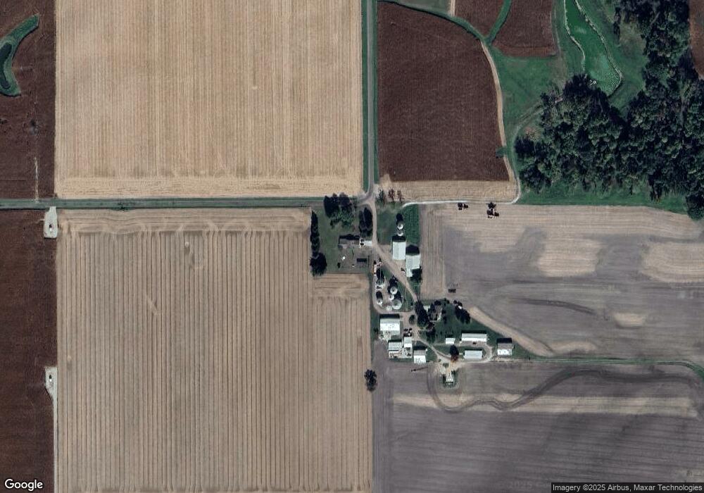
Map
Nearby Homes
- Lot 1 S Hidden Point Dr
- 9622 W Lancaster Rd
- 0 S Whittingham Cove
- 9913 W Guinivere Dr
- 9517 W Whittingham Point
- 4304 S Arn Ct
- 10520 W Sir Durham Ct
- 9811 W Lake Lancelot Dr
- 409 W Lake Camelot Dr
- 9522 W Excalibur Ct
- 8109 S Mccumber Rd
- 9320 W Lake Camelot Dr
- 0 N Deer Trail Unit RMAPA1264360
- 109 E Essex St
- 2922 S Turbett Rd
- 5220 S Acre Rd
- 5221 S Cameron Ln
- Lot 2 S Gerdes Rd
- 7426 W Lancaster Rd
- 2409 S Hanna City Glasford Rd
- 11502 W Grub Rd
- 6422 S Hammerich Rd
- 6317 S Hammerich Rd
- 12021 W Grub Rd
- 12033 W Grub Rd
- 12029 W Grub Rd
- 6926 S Kingston Mines Rd
- 11304 W Cowser Rd
- 11107 W Cowser Rd
- 11520 W Cowser Rd
- 11021 W Cowser Rd
- 7103 S Kingston Mines Rd
- 11005 W Cowser Rd
- 10921 W Cowser Rd
- 12413 W Grub Rd
- 11028 W Cowser Rd
- 11218 W Cowser Rd
- 11130 W Cowser Rd
- 5829 S Hammerich Rd
- 11500 W Cowser Rd
Your Personal Tour Guide
Ask me questions while you tour the home.