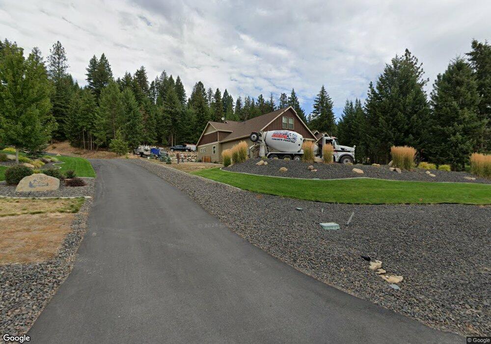
11519 W Roanoak Rd Rathdrum, ID 83858
Estimated Value: $1,189,000 - $1,453,000
3
Beds
4
Baths
3,112
Sq Ft
$414/Sq Ft
Est. Value
About This Home
This home is located at 11519 W Roanoak Rd, Rathdrum, ID 83858 and is currently estimated at $1,288,351, approximately $413 per square foot. 11519 W Roanoak Rd is a home with nearby schools including Twin Lakes Elementary School, Lakeland Middle School, and Lakeland Senior High School.
Ownership History
Date
Name
Owned For
Owner Type
Purchase Details
Closed on
Dec 27, 2016
Sold by
Renshaw Gary and Renshaw Phyllis
Bought by
Renshaw Gary A and Renshaw Phyllis S
Current Estimated Value
Home Financials for this Owner
Home Financials are based on the most recent Mortgage that was taken out on this home.
Original Mortgage
$334,500
Outstanding Balance
$273,546
Interest Rate
3.94%
Mortgage Type
New Conventional
Estimated Equity
$1,014,805
Purchase Details
Closed on
Oct 20, 2015
Sold by
Waldo Construction Inc
Bought by
Renshaw Gary and Renshaw Phyllis
Create a Home Valuation Report for This Property
The Home Valuation Report is an in-depth analysis detailing your home's value as well as a comparison with similar homes in the area
Home Values in the Area
Average Home Value in this Area
Purchase History
| Date | Buyer | Sale Price | Title Company |
|---|---|---|---|
| Renshaw Gary A | -- | First American Title Kootena | |
| Renshaw Gary | -- | First American Title |
Source: Public Records
Mortgage History
| Date | Status | Borrower | Loan Amount |
|---|---|---|---|
| Open | Renshaw Gary A | $334,500 |
Source: Public Records
Tax History Compared to Growth
Tax History
| Year | Tax Paid | Tax Assessment Tax Assessment Total Assessment is a certain percentage of the fair market value that is determined by local assessors to be the total taxable value of land and additions on the property. | Land | Improvement |
|---|---|---|---|---|
| 2025 | $3,271 | $1,040,769 | $333,679 | $707,090 |
| 2024 | $3,271 | $1,071,889 | $413,679 | $658,210 |
| 2023 | $3,271 | $944,038 | $193,679 | $750,359 |
| 2022 | $3,688 | $1,068,386 | $212,713 | $855,673 |
| 2021 | $4,096 | $732,951 | $245,261 | $487,690 |
| 2020 | $4,115 | $625,156 | $173,946 | $451,210 |
| 2019 | $4,269 | $572,026 | $148,946 | $423,080 |
| 2018 | $4,408 | $528,326 | $143,946 | $384,380 |
| 2017 | $4,450 | $496,484 | $134,894 | $361,590 |
| 2016 | $1,093 | $104,893 | $104,893 | $0 |
| 2015 | -- | $0 | $0 | $0 |
Source: Public Records
Map
Nearby Homes
- L6B10 N Walden Loop
- L4B10 N Walden Loop
- L3B10 N Walden Loop
- L6B9 N Walden Loop
- 12552 N Walden Loop
- L6B5 N Spiral Ridge Trail
- Lot13 Blk5 N Spiral Ridge Trail
- L7B5 N Spiral Ridge Trail
- 11897 W Hidden Valley Rd
- 14895 N Crystal Springs Ln
- 17531 W Highway 53
- 11583 N Sunrise Ct
- 11248 N Bruss Rd
- 9124 W Cultivator Ave
- 9084 W Swather Ave
- 9044 W Cultivator Ave
- 9065 W Swather Ave
- 9066 W Swather Ave
- 9041 W Swather Ave
- 9042 W Swather Ave
- L5B3 Roanoak
- L1 B5 W Roanoak Rd
- L1 B5 Roanoak
- 11495 Roanoak
- 11495 W Roanoak Rd
- 0 Roanoak Rd L5 B3
- 11524 Roanoak
- L2B3 Roanoak
- 11524 W Roanoak Rd
- 11518 W Roanoak Rd
- 11571 W Roanoak Rd
- 11571 W Roanoak Rd
- 11586 W Roanoak Rd
- 11465 W Roanoak Rd
- 13758 N Abeja Rd
- L7B3 Roanoak
- L4B5 Roanoak Rd
- LT 2 BLK 2 N Abeja
- LT 2 BLK 2 Abeja
- L2B5 Roanoak