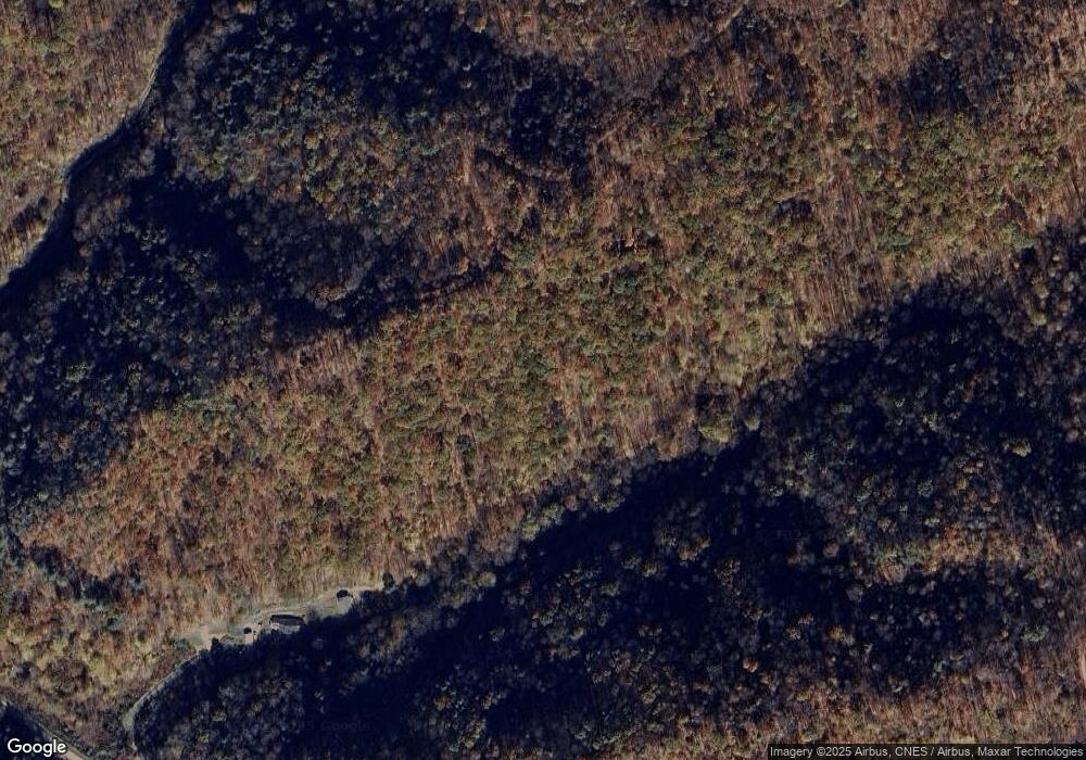
1152 Rowlette Rd Vansant, VA 24656
Estimated Value: $154,000 - $177,517
4
Beds
2
Baths
1,392
Sq Ft
$121/Sq Ft
Est. Value
About This Home
This home is located at 1152 Rowlette Rd, Vansant, VA 24656 and is currently estimated at $168,629, approximately $121 per square foot. 1152 Rowlette Rd is a home located in Buchanan County with nearby schools including Riverview Elementary/Middle School and Grundy High School.
Ownership History
Date
Name
Owned For
Owner Type
Purchase Details
Closed on
Mar 9, 2020
Sold by
Feeding My Sheep Inc
Bought by
Lowery Robert Gowen and Lowery Kelly Jo
Current Estimated Value
Home Financials for this Owner
Home Financials are based on the most recent Mortgage that was taken out on this home.
Original Mortgage
$89,000
Outstanding Balance
$69,580
Interest Rate
3.6%
Mortgage Type
New Conventional
Estimated Equity
$99,049
Purchase Details
Closed on
Dec 26, 2016
Sold by
Roulett J B and Roulett Judy
Bought by
Feeding My Sheep Inc A Virginia Nonprofi
Create a Home Valuation Report for This Property
The Home Valuation Report is an in-depth analysis detailing your home's value as well as a comparison with similar homes in the area
Purchase History
| Date | Buyer | Sale Price | Title Company |
|---|---|---|---|
| Lowery Robert Gowen | $125,000 | None Available | |
| Feeding My Sheep Inc A Virginia Nonprofi | -- | None Available |
Source: Public Records
Mortgage History
| Date | Status | Borrower | Loan Amount |
|---|---|---|---|
| Open | Lowery Robert Gowen | $89,000 |
Source: Public Records
Tax History
| Year | Tax Paid | Tax Assessment Tax Assessment Total Assessment is a certain percentage of the fair market value that is determined by local assessors to be the total taxable value of land and additions on the property. | Land | Improvement |
|---|---|---|---|---|
| 2025 | $619 | $158,700 | $8,000 | $150,700 |
| 2024 | $619 | $158,700 | $8,000 | $150,700 |
| 2023 | $619 | $158,700 | $8,000 | $150,700 |
| 2022 | $619 | $158,700 | $8,000 | $150,700 |
| 2021 | $619 | $158,700 | $8,000 | $150,700 |
| 2020 | $710 | $182,000 | $8,000 | $174,000 |
| 2019 | $710 | $182,000 | $8,000 | $174,000 |
| 2017 | $710 | $182,000 | $8,000 | $174,000 |
| 2016 | $710 | $182,000 | $8,000 | $174,000 |
| 2015 | $710 | $99,800 | $6,300 | $93,500 |
Source: Public Records
Map
Nearby Homes
- 1877 Lovers Gap Rd
- 1087 Greenhouse Cir
- 18775 Riverside Dr
- 1551 Watkins Branch
- 9725 Garden Creek Rd
- 1059 Shady Lane St
- 1104 Little Prater Rd
- 1075 Gator Rd
- 1107 Russell Hill St
- 1030 Russell Hill St
- 1022 Russell Hill St
- 1111 Watkins St
- 1332 G P Branch Rd
- 2477 Leemaster Dr
- 8232 Garden Creek Rd
- 1040 Red Jacket Rd
- TBD Riverside Dr
- 1154 Fairview St
- 2497 Slate Creek Rd
- 2929 Slate Creek Rd
- 1182 Rowlette Rd
- 3176 Dry Fork Rd
- 3052 Dry Fork Rd
- 3224 Dry Fork Rd
- 2830 Dry Fork Rd
- 1023 Travelers Rd
- 2828 Dry Fork Rd
- 2786 Dry Fork Rd
- 2754 Dry Fork Rd
- 2753 Dry Fork Rd
- 2732 Dry Fork Rd
- 1057 Commanche St
- 2698 Dry Fork Rd
- 1128 Commanche St
- 1090 Commanche St
- 2658 Dry Fork Rd
- 3420 Dry Fork Rd
- 3442 Dry Fork Rd
- 3640 Dry Fork Rd
- 2614 Dry Fork Rd
