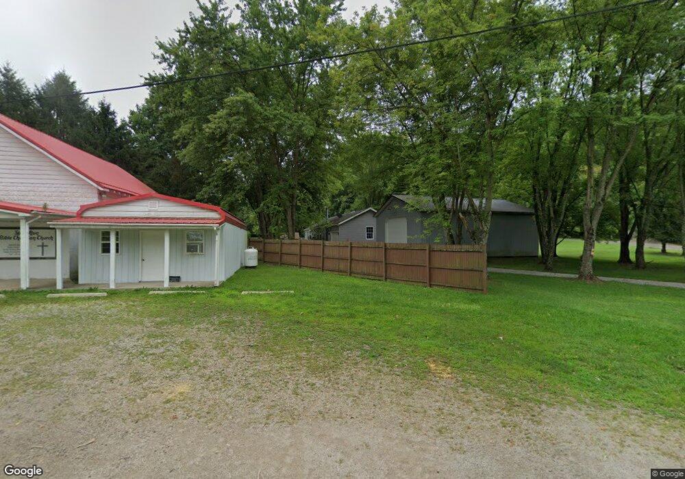
1152 Spud Run Rd Chillicothe, OH 45601
Estimated Value: $203,000 - $325,000
4
Beds
1
Bath
2,128
Sq Ft
$129/Sq Ft
Est. Value
About This Home
This home is located at 1152 Spud Run Rd, Chillicothe, OH 45601 and is currently estimated at $274,178, approximately $128 per square foot. 1152 Spud Run Rd is a home located in Ross County with nearby schools including Southeastern Elementary School, Southeastern Middle School, and Southeastern High School.
Ownership History
Date
Name
Owned For
Owner Type
Purchase Details
Closed on
May 23, 2022
Sold by
Planton David A
Bought by
Planton Lori A
Current Estimated Value
Home Financials for this Owner
Home Financials are based on the most recent Mortgage that was taken out on this home.
Original Mortgage
$165,000
Outstanding Balance
$156,548
Interest Rate
5.11%
Mortgage Type
New Conventional
Estimated Equity
$117,630
Purchase Details
Closed on
Feb 20, 2014
Sold by
Bond Nevada E
Bought by
Planton Lori
Purchase Details
Closed on
Apr 26, 2006
Sold by
Stewart Lori A
Bought by
Planton David A and Stewart Lori A
Home Financials for this Owner
Home Financials are based on the most recent Mortgage that was taken out on this home.
Original Mortgage
$162,450
Interest Rate
6.39%
Mortgage Type
Construction
Create a Home Valuation Report for This Property
The Home Valuation Report is an in-depth analysis detailing your home's value as well as a comparison with similar homes in the area
Home Values in the Area
Average Home Value in this Area
Purchase History
| Date | Buyer | Sale Price | Title Company |
|---|---|---|---|
| Planton Lori A | $125 | Jones Kyle W | |
| Planton Lori | $49,700 | Chicago Title | |
| Planton David A | -- | Allyn Title |
Source: Public Records
Mortgage History
| Date | Status | Borrower | Loan Amount |
|---|---|---|---|
| Open | Planton Lori A | $165,000 | |
| Previous Owner | Planton David A | $162,450 |
Source: Public Records
Tax History Compared to Growth
Tax History
| Year | Tax Paid | Tax Assessment Tax Assessment Total Assessment is a certain percentage of the fair market value that is determined by local assessors to be the total taxable value of land and additions on the property. | Land | Improvement |
|---|---|---|---|---|
| 2024 | $1,951 | $61,690 | $4,630 | $57,060 |
| 2023 | $1,951 | $61,690 | $4,630 | $57,060 |
| 2022 | $1,998 | $61,690 | $4,630 | $57,060 |
| 2021 | $2,027 | $55,180 | $3,580 | $51,600 |
| 2020 | $2,044 | $55,180 | $3,580 | $51,600 |
| 2019 | $2,045 | $55,180 | $3,580 | $51,600 |
| 2018 | $1,932 | $51,400 | $3,060 | $48,340 |
| 2017 | $1,934 | $51,400 | $3,060 | $48,340 |
| 2016 | $1,883 | $51,400 | $3,060 | $48,340 |
| 2015 | $1,782 | $48,620 | $3,060 | $45,560 |
| 2014 | $1,737 | $48,620 | $3,060 | $45,560 |
| 2013 | $1,746 | $48,620 | $3,060 | $45,560 |
Source: Public Records
Map
Nearby Homes
- 149 Brown Hollow Rd
- 822 Chapel Creek Rd
- 2998 Dry Run Rd
- 3661 Lick Run Rd
- 1959 Chapel Creek Rd
- 1086 Thornton-Spung Rd
- 108 Lane Dr
- 7135 Walnut Creek Rd
- 0 Luckhart Rd
- 0 State Route 327 Unit 225031635
- 0 Highway 50
- 2133 Dearth Rd
- 3040 Seney Rd Unit 912
- 26702 E Fork Rd
- 965 Graves Rd
- 23411 Ohio 327
- 36665 U S 50
- 23258 Ohio 327
- 23769 State Route 327
- 23858 State Route 327
- 1070 Spud Run Rd
- 1043 Spud Run Rd
- 1043 Spud Run Rd
- 1016 Spud Run Rd
- 1016 Spud Run Rd
- 1199 Spud Run Rd
- 965 Spud Run Rd
- 2020 Spud Run Rd
- 0 Spud Run Rd
- 262 Brady Hill Rd
- 923 Spud Run Rd
- 1296 Spud Run Rd
- 901 Spud Run Rd
- 201 Brady Hill Rd
- 1362 Spud Run Rd
- 865 Spud Run Rd
- 322 Brady Hill Rd
- 1412 Spud Run Rd
- 260 Brady Hill Rd
- 415 Brady Hill Rd
