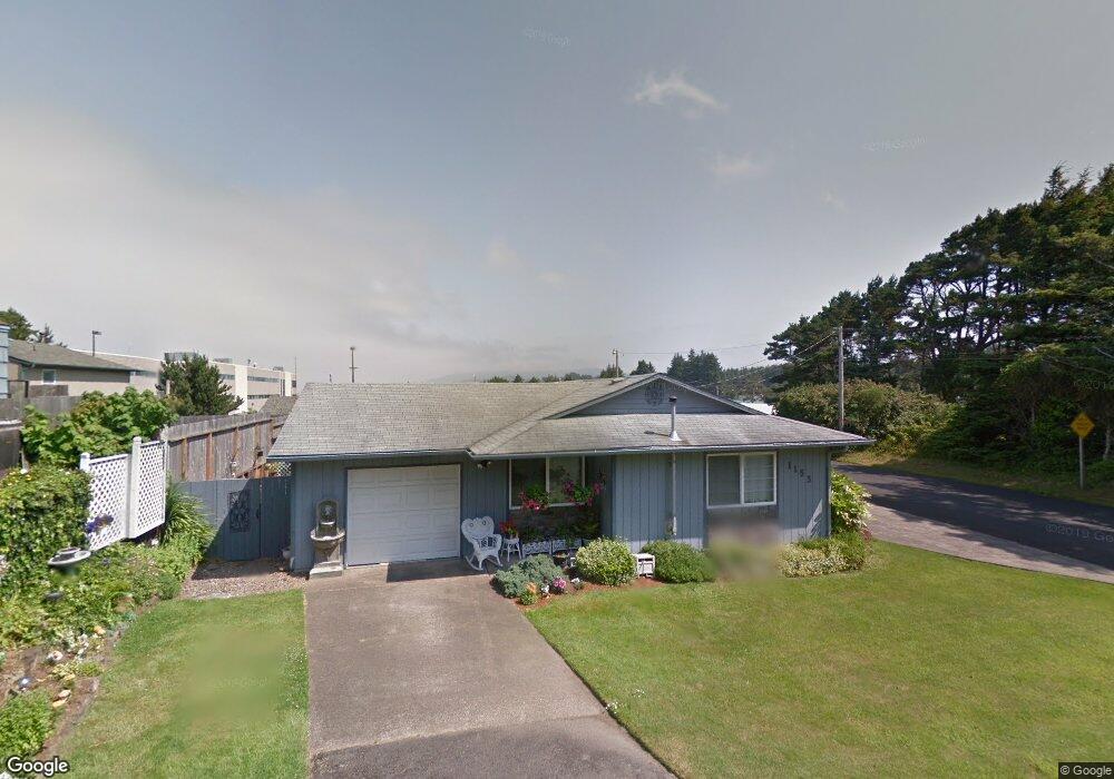
1153 SW 10th St Lincoln City, OR 97367
Estimated Value: $374,113 - $450,000
3
Beds
1
Bath
1,112
Sq Ft
$370/Sq Ft
Est. Value
About This Home
This home is located at 1153 SW 10th St, Lincoln City, OR 97367 and is currently estimated at $411,028, approximately $369 per square foot. 1153 SW 10th St is a home located in Lincoln County with nearby schools including Oceanlake Elementary School, Taft Elementary School, and Taft High School.
Ownership History
Date
Name
Owned For
Owner Type
Purchase Details
Closed on
Jun 25, 2007
Sold by
Hopkins Donald R and Hopkins Karen M
Bought by
Mezzie Karen
Current Estimated Value
Home Financials for this Owner
Home Financials are based on the most recent Mortgage that was taken out on this home.
Original Mortgage
$163,000
Interest Rate
6.21%
Mortgage Type
Unknown
Purchase Details
Closed on
Oct 25, 2005
Sold by
Hopkins Karen and Hopkins Donald R
Bought by
Hopkins Donald R and Hopkins Karen M
Home Financials for this Owner
Home Financials are based on the most recent Mortgage that was taken out on this home.
Original Mortgage
$144,000
Interest Rate
5.9%
Mortgage Type
New Conventional
Create a Home Valuation Report for This Property
The Home Valuation Report is an in-depth analysis detailing your home's value as well as a comparison with similar homes in the area
Home Values in the Area
Average Home Value in this Area
Purchase History
| Date | Buyer | Sale Price | Title Company |
|---|---|---|---|
| Mezzie Karen | -- | First American Title Ins Co | |
| Hopkins Donald R | -- | Fidelity Natl Title Co Of Or |
Source: Public Records
Mortgage History
| Date | Status | Borrower | Loan Amount |
|---|---|---|---|
| Previous Owner | Mezzie Karen | $163,000 | |
| Previous Owner | Hopkins Donald R | $144,000 |
Source: Public Records
Tax History Compared to Growth
Tax History
| Year | Tax Paid | Tax Assessment Tax Assessment Total Assessment is a certain percentage of the fair market value that is determined by local assessors to be the total taxable value of land and additions on the property. | Land | Improvement |
|---|---|---|---|---|
| 2024 | $2,363 | $138,630 | -- | -- |
| 2023 | $2,298 | $134,600 | $0 | $0 |
| 2022 | $2,234 | $130,680 | $0 | $0 |
| 2021 | $2,128 | $126,880 | $0 | $0 |
| 2020 | $2,080 | $123,190 | $0 | $0 |
| 2019 | $2,009 | $119,610 | $0 | $0 |
| 2018 | $1,964 | $116,130 | $0 | $0 |
| 2017 | $1,879 | $112,750 | $0 | $0 |
| 2016 | $1,763 | $109,470 | $0 | $0 |
| 2015 | $1,723 | $106,290 | $0 | $0 |
| 2014 | $1,680 | $103,200 | $0 | $0 |
Source: Public Records
Map
Nearby Homes
- 1115 SW Harbor Ave
- 1111 SW 13th St
- 1000 Blk Sw 8th St Tl 11200 &11201
- 1004 SW 10th Place
- 834 SW 10th Place
- 691 SE Jetty Ave
- 832 SW 10th Place
- 866 SW 8th St
- 1218 SW 16th St
- 1455 SE Marine Ave
- 1453 SE Marine Ave
- Lot 6 SE Marine Ave
- T/L 500 SE 14th St
- 1496 SE Marine Ave
- 1502 SE Marine Ave
- 331 SE Jetty Ave
- 1219 SE Oar Ave
- 305 SE Jetty Ave Unit B
- 305 SE Jetty Ave Unit A
- 305 SE Jetty Ave
- 1148 SW 9th St
- 1133 SW 10th St
- 1132 SW 9th St
- 1123 SW 10th St
- 1122 SW 9th St
- 1144 SW 10th St
- 1126 SW 10th St
- 1021 SW Harbor Ave
- 1101 SW 10th St
- 1021 SW Harbor Ave
- 910 SW Galley Ave
- 1013 SE Highway 101
- TL 602 NE Devil's Lake Rd
- 2273 U S 101
- 3000 B U S 101
- 3000 Blk U S 101
- 3000 blk. U S 101
- 3900 Block U S 101
- 3911 U S 101
- 0 Oregon Coast Hwy