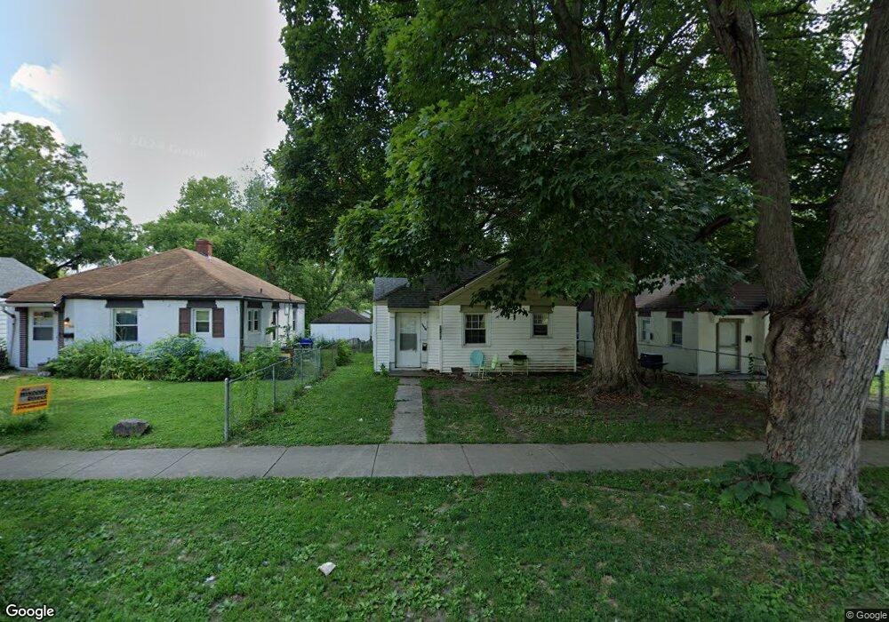
1153 W King St Decatur, IL 62522
Garfield Park NeighborhoodEstimated Value: $35,000 - $50,000
1
Bed
1
Bath
832
Sq Ft
$50/Sq Ft
Est. Value
About This Home
This home is located at 1153 W King St, Decatur, IL 62522 and is currently estimated at $41,805, approximately $50 per square foot. 1153 W King St is a home located in Macon County with nearby schools including Stephen Decatur Middle School and Teen Challenge-Home For Girls.
Ownership History
Date
Name
Owned For
Owner Type
Purchase Details
Closed on
Dec 21, 2009
Sold by
Zindars Robert W and Zindars Norma E
Bought by
Lincoln Land Illnois Land Trust
Current Estimated Value
Purchase Details
Closed on
Dec 29, 2004
Create a Home Valuation Report for This Property
The Home Valuation Report is an in-depth analysis detailing your home's value as well as a comparison with similar homes in the area
Home Values in the Area
Average Home Value in this Area
Purchase History
| Date | Buyer | Sale Price | Title Company |
|---|---|---|---|
| Lincoln Land Illnois Land Trust | $15,000 | None Available | |
| -- | -- | -- |
Source: Public Records
Tax History Compared to Growth
Tax History
| Year | Tax Paid | Tax Assessment Tax Assessment Total Assessment is a certain percentage of the fair market value that is determined by local assessors to be the total taxable value of land and additions on the property. | Land | Improvement |
|---|---|---|---|---|
| 2024 | $435 | $6,473 | $437 | $6,036 |
| 2023 | $621 | $6,244 | $422 | $5,822 |
| 2022 | $586 | $5,725 | $390 | $5,335 |
| 2021 | $550 | $5,347 | $365 | $4,982 |
| 2020 | $542 | $5,099 | $349 | $4,750 |
| 2019 | $542 | $5,099 | $349 | $4,750 |
| 2018 | $581 | $5,534 | $238 | $5,296 |
| 2017 | $595 | $5,681 | $244 | $5,437 |
| 2016 | $606 | $5,738 | $246 | $5,492 |
| 2015 | $576 | $5,637 | $242 | $5,395 |
| 2014 | $622 | $6,488 | $1,257 | $5,231 |
| 2013 | $643 | $6,731 | $1,304 | $5,427 |
Source: Public Records
Map
Nearby Homes
- 917 N Wilder Ave
- 1065 W Green St
- 1451 W Marietta St
- 1319 W Waggoner St
- 958 W William St
- 837 W Grand Ave
- 266 Cobb Ave
- 875 N Monroe St
- 1005 W Main St
- 254 N Pine St
- 1645 W Center St
- 1535 N Mcclellan Ave
- 1530 W Cushing St
- 1675 W Center St
- 1415 N Dennis Ave
- 899 W Main St
- 933 W Division St
- 609 W William St
- 717 W Prairie Ave Unit 2
- 415 W Green St
- 1161 W King St
- 1147 W King St
- 1169 W King St
- 1139 W King St
- 1146 W King St
- 1129 W King St
- 1175 W King St
- 1156 W King St
- 1119 W King St
- 1183 W King St
- 1162 W King St
- 1128 W King St
- 1122 W King St
- 1120 W King St
- 1111 W King St
- 1191 W King St
- 1158 W Green St
- 1168 W King St
- 1146 W Green St
- 1195 W King St