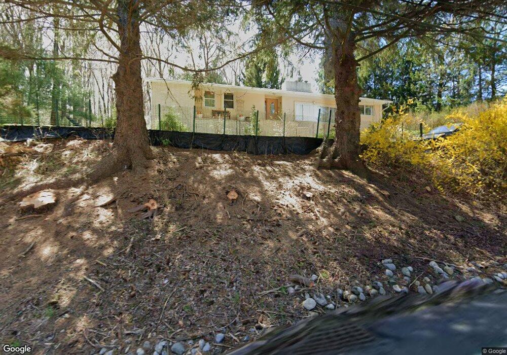
1153 Westbrook Rd West Milford, NJ 07480
Estimated Value: $459,000 - $568,000
--
Bed
--
Bath
1,637
Sq Ft
$311/Sq Ft
Est. Value
About This Home
This home is located at 1153 Westbrook Rd, West Milford, NJ 07480 and is currently estimated at $508,316, approximately $310 per square foot. 1153 Westbrook Rd is a home located in Passaic County with nearby schools including Macopin Middle School and West Milford High School.
Ownership History
Date
Name
Owned For
Owner Type
Purchase Details
Closed on
Jun 25, 2004
Sold by
Mannino Alice
Bought by
Zuks Alesandrs and Zuka Natalja
Current Estimated Value
Home Financials for this Owner
Home Financials are based on the most recent Mortgage that was taken out on this home.
Original Mortgage
$249,000
Outstanding Balance
$124,640
Interest Rate
6.25%
Estimated Equity
$383,676
Create a Home Valuation Report for This Property
The Home Valuation Report is an in-depth analysis detailing your home's value as well as a comparison with similar homes in the area
Home Values in the Area
Average Home Value in this Area
Purchase History
| Date | Buyer | Sale Price | Title Company |
|---|---|---|---|
| Zuks Alesandrs | $315,000 | -- |
Source: Public Records
Mortgage History
| Date | Status | Borrower | Loan Amount |
|---|---|---|---|
| Open | Zuks Alesandrs | $249,000 |
Source: Public Records
Tax History Compared to Growth
Tax History
| Year | Tax Paid | Tax Assessment Tax Assessment Total Assessment is a certain percentage of the fair market value that is determined by local assessors to be the total taxable value of land and additions on the property. | Land | Improvement |
|---|---|---|---|---|
| 2025 | $10,163 | $250,700 | $80,900 | $169,800 |
| 2024 | $10,216 | $250,700 | $80,900 | $169,800 |
| 2022 | $9,697 | $250,700 | $80,900 | $169,800 |
| 2021 | $9,489 | $250,700 | $80,900 | $169,800 |
| 2020 | $9,389 | $250,700 | $80,900 | $169,800 |
| 2019 | $9,263 | $250,700 | $80,900 | $169,800 |
| 2018 | $9,241 | $250,700 | $80,900 | $169,800 |
| 2017 | $9,283 | $250,700 | $80,900 | $169,800 |
| 2016 | $9,298 | $250,700 | $80,900 | $169,800 |
| 2015 | $9,191 | $250,700 | $80,900 | $169,800 |
| 2014 | $8,968 | $250,700 | $80,900 | $169,800 |
Source: Public Records
Map
Nearby Homes
- 16 Pond View Dr
- 0 Laurel Hollow
- 66 Lindys Dr
- 54 Broadway
- 54 Nosenzo Pond Rd
- 3 Broadway
- 24 Eagles Nest Terrace
- 174 Kitchell Lake Dr
- 11 Eagles Nest Terrace
- 33 Eagles Nest Terrace
- 0 Post Brook Rd Unit 25008921
- 0 Post Brook Rd Unit 3952366
- 60 Eagles Nest Terrace
- 2 Heritage Dr
- 7 Rockburn Pass
- 449 Otterhole Rd
- 2 Iron Hill
- 68 Heritage Dr
- 45 Heritage Dr
- 0 Stonehedge Way
- 1156 Westbrook Rd
- 1161 Westbrook Rd
- 1145 Westbrook Rd
- 234 Rockburn Pass
- 1181 Westbrook Rd
- 15 Pond View Dr
- 32 Pond View Dr
- 25 Pond View Dr
- 1187 Westbrook Rd
- 1122 Westbrook Rd
- 35 Pond View Dr
- 1194 Westbrook Rd
- 40 Pond View Dr
- 19 Pond View Dr
- 212 Rockburn Pass
- 688 Otterhole Rd
- 45 Pond View Dr
- 1109 Westbrook Rd
- 702 Otterhole Rd
- 680 Otterhole Rd