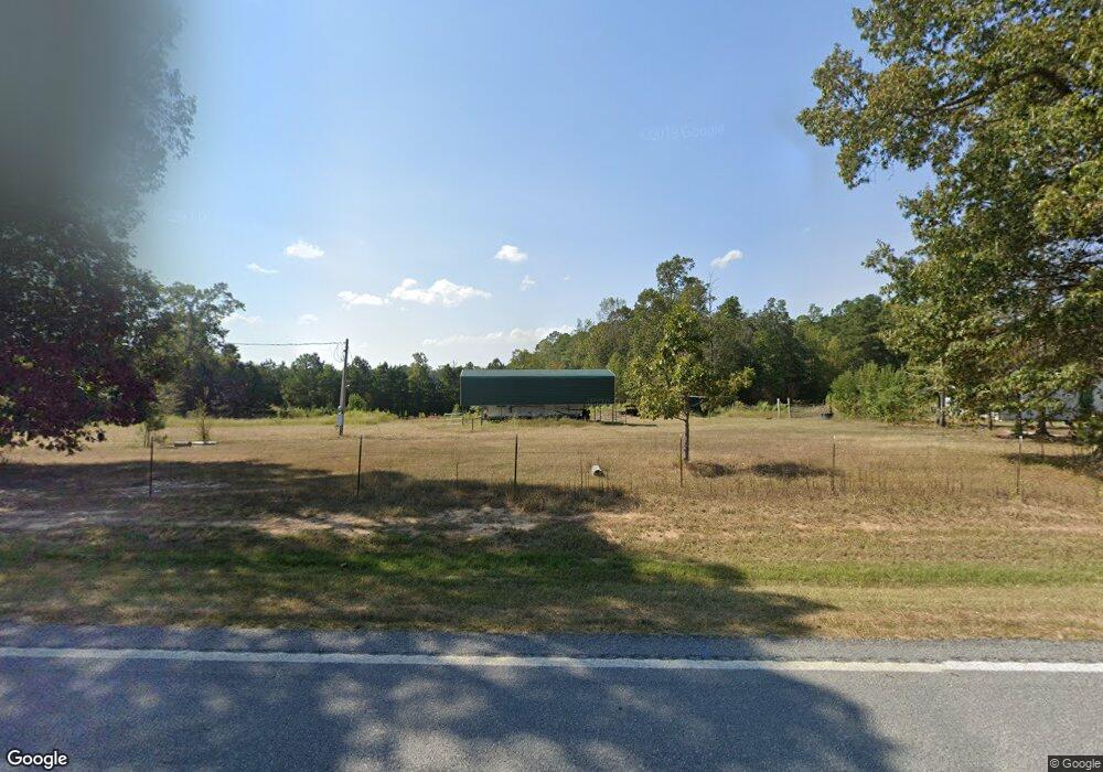
11531 Highway 35 S Grapevine, AR 72057
Estimated Value: $56,494 - $170,000
Studio
--
Bath
--
Sq Ft
180,338
Sq Ft
About This Home
This home is located at 11531 Highway 35 S, Grapevine, AR 72057 and is currently estimated at $108,165. 11531 Highway 35 S is a home located in Grant County.
Ownership History
Date
Name
Owned For
Owner Type
Purchase Details
Closed on
Jan 21, 2014
Sold by
Smith James Edward and Smith Mary Jane
Bought by
Plunkett Larry and Plunkett Lanita
Current Estimated Value
Home Financials for this Owner
Home Financials are based on the most recent Mortgage that was taken out on this home.
Original Mortgage
$27,000
Interest Rate
4.49%
Mortgage Type
New Conventional
Purchase Details
Closed on
Jun 4, 2002
Bought by
Smith
Purchase Details
Closed on
Apr 6, 2000
Bought by
Watson
Purchase Details
Closed on
Mar 20, 2000
Bought by
Watson
Create a Home Valuation Report for This Property
The Home Valuation Report is an in-depth analysis detailing your home's value as well as a comparison with similar homes in the area
Purchase History
| Date | Buyer | Sale Price | Title Company |
|---|---|---|---|
| Plunkett Larry | $27,000 | None Available | |
| Smith | $10,000 | -- | |
| Watson | -- | -- | |
| Watson | $7,000 | -- |
Source: Public Records
Mortgage History
| Date | Status | Borrower | Loan Amount |
|---|---|---|---|
| Closed | Plunkett Larry | $27,000 |
Source: Public Records
Tax History
| Year | Tax Paid | Tax Assessment Tax Assessment Total Assessment is a certain percentage of the fair market value that is determined by local assessors to be the total taxable value of land and additions on the property. | Land | Improvement |
|---|---|---|---|---|
| 2025 | $122 | $4,300 | $4,140 | $160 |
| 2024 | $106 | $3,470 | $3,310 | $160 |
| 2023 | $106 | $3,470 | $3,310 | $160 |
| 2022 | $98 | $3,470 | $3,310 | $160 |
| 2021 | $90 | $3,470 | $3,310 | $160 |
| 2020 | $82 | $1,820 | $1,660 | $160 |
| 2019 | $82 | $1,820 | $1,660 | $160 |
| 2018 | $82 | $1,820 | $1,660 | $160 |
| 2017 | $82 | $1,820 | $1,660 | $160 |
| 2015 | -- | $1,580 | $1,550 | $30 |
| 2014 | -- | $1,580 | $1,550 | $30 |
| 2012 | -- | $1,580 | $1,550 | $30 |
Source: Public Records
Map
Nearby Homes
- 0 Highway 35 S Unit 23809867
- Highway 35
- Tract 18 Highway 167 S
- 0 Providence Unit 25510552
- 0 Providence Unit LotWP001 20915111
- 0 Providence Unit LotWP001 20670734
- 0 Providence Unit LotWP001 20670732
- 0 Providence Unit LotWP001 20608048
- 344 Grant 190005
- 9607 9603 Huntley Trail
- 0 Grant 190009
- 8 Acres Grant County Road 23
- 0 Lee Springs Rd
- 0 Murdock Rd Unit 169777
- 54 Grant 171
- 25 Grant 167084
- 3908 Big Creek Rd
- 12350 Princeton Pike
- 7214 Jericho Rd
- 1010 Gum Springs Rd
- 11443 Highway 35 S
- 2416 Grant County 19
- 2035 Grant County 19
- 1215 Georgetown Dr
- 2958 Grant County 19
- 2072 Grant County 19
- 3002 Grant County 19
- 3024 Grant County Road 19
- 3024 Grant 19 Rd
- 3024 Grant County 19
- 2981 Grant County 19
- 3026 Grant County Road 19
- 3026 Grant 19 Rd
- 3026 Grant County 19
- 19 Grant
- 1797 Grant County Road 19
- 1777 Grant County 192
Your Personal Tour Guide
Ask me questions while you tour the home.