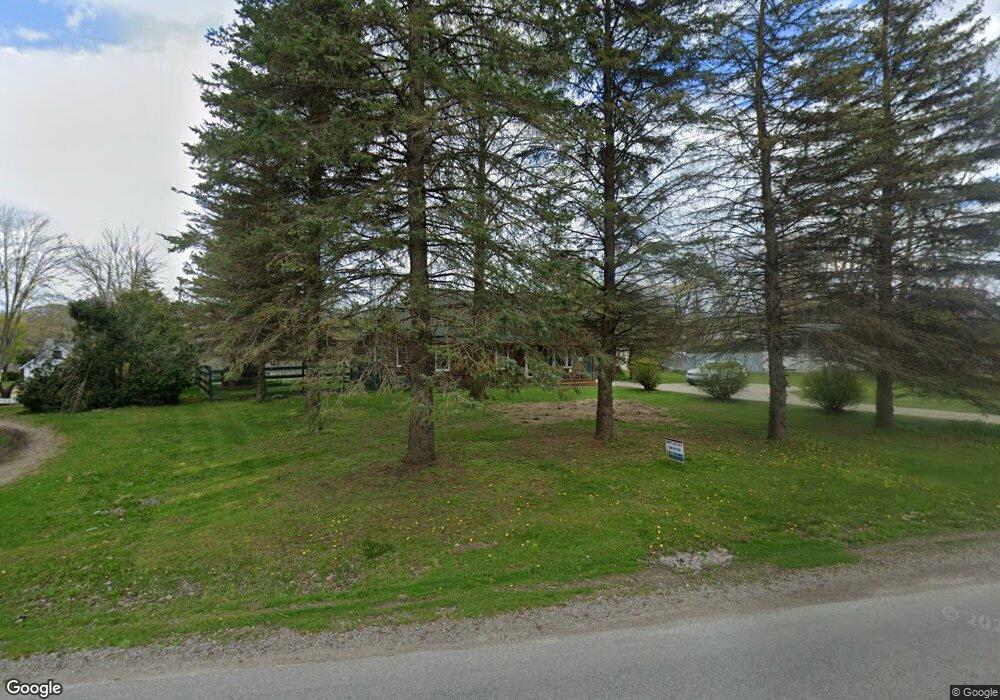
11531 Onsted Hwy Brooklyn, MI 49230
Estimated Value: $304,000 - $521,000
3
Beds
2
Baths
2,515
Sq Ft
$167/Sq Ft
Est. Value
About This Home
This home is located at 11531 Onsted Hwy, Brooklyn, MI 49230 and is currently estimated at $420,511, approximately $167 per square foot. 11531 Onsted Hwy is a home located in Lenawee County with nearby schools including Onsted Elementary School, Onsted Middle School, and Onsted Community High School.
Ownership History
Date
Name
Owned For
Owner Type
Purchase Details
Closed on
Aug 25, 2009
Sold by
The Bank Of Newyork Mellon Trust Co
Bought by
Beard Michael and Beard Megan M
Current Estimated Value
Home Financials for this Owner
Home Financials are based on the most recent Mortgage that was taken out on this home.
Original Mortgage
$99,892
Outstanding Balance
$65,329
Interest Rate
5.19%
Mortgage Type
New Conventional
Estimated Equity
$355,182
Purchase Details
Closed on
Nov 20, 2008
Sold by
Wingard Adam J and Wingard Debra K
Bought by
Jpmorgan Chase Bank N A
Create a Home Valuation Report for This Property
The Home Valuation Report is an in-depth analysis detailing your home's value as well as a comparison with similar homes in the area
Home Values in the Area
Average Home Value in this Area
Purchase History
| Date | Buyer | Sale Price | Title Company |
|---|---|---|---|
| Beard Michael | $105,150 | None Available | |
| Jpmorgan Chase Bank N A | $162,000 | None Available |
Source: Public Records
Mortgage History
| Date | Status | Borrower | Loan Amount |
|---|---|---|---|
| Open | Beard Michael | $99,892 |
Source: Public Records
Tax History Compared to Growth
Tax History
| Year | Tax Paid | Tax Assessment Tax Assessment Total Assessment is a certain percentage of the fair market value that is determined by local assessors to be the total taxable value of land and additions on the property. | Land | Improvement |
|---|---|---|---|---|
| 2025 | $3,018 | $174,000 | $0 | $0 |
| 2023 | $1,273 | $132,700 | $0 | $0 |
| 2022 | $2,751 | $147,000 | $0 | $0 |
| 2021 | $2,714 | $134,300 | $0 | $0 |
| 2020 | $2,616 | $122,500 | $0 | $0 |
| 2019 | $261,181 | $109,500 | $0 | $0 |
| 2018 | $2,431 | $109,486 | $0 | $0 |
| 2017 | $2,309 | $107,080 | $0 | $0 |
| 2016 | $2,293 | $99,546 | $0 | $0 |
| 2014 | -- | $80,998 | $0 | $0 |
Source: Public Records
Map
Nearby Homes
- 2210 Lakeview Dr
- 2340 Lake View Dr
- 10510 Us Highway 12
- 10000 M50 Rd
- 10044 Emerald Dr
- 920 Cambridge Dr
- 10076 Emerald Dr
- 0 Washington Lake Rd
- 182 Twin Lake Dr
- 13000 Person Hwy
- 11000 Us-12
- 10000 Sheeler Rd
- 11963 Egan Hwy
- 108 Bloomfield Blvd Unit 4
- 529 Timber Ln
- 109 Bloomfield Blvd
- 127 Bloomfield Blvd
- 139 Bloomfield Blvd
- 123 Bloomfield Blvd
- 156-158 Bloomfield Blvd
- 11531 Onsted Hwy Unit ONSTED
- 11537 Onsted Hwy
- 11543 Onsted Hwy
- 11507 Onsted Hwy
- 11507 Onsted Hwy Unit ONSTED
- 11555 Onsted Hwy
- 11561 Onsted Hwy
- 11567 Onsted Hwy
- 457 Siam Dr Unit 457 Wolf Lk Drive
- 457 Siam Dr
- 451 Siam Dr
- 11579 Onsted Hwy
- 11871 Onsted Hwy
- 11845 Onsted Hwy
- 11585 Onsted Hwy Unit BLK
- 00 Wolf Lake Dr Unit next to 2565 wolf la
- 0 Wolf Lake Dr Unit 3239822
- 0 Wolf Lake Dr Unit 3244413
- 445 Wolf Lake Rd
- 11603 Siam Dr