11533 Walnut Point Rd Hagerstown, MD 21740
Estimated Value: $526,000 - $698,000
4
Beds
3
Baths
4,012
Sq Ft
$153/Sq Ft
Est. Value
About This Home
This home is located at 11533 Walnut Point Rd, Hagerstown, MD 21740 and is currently estimated at $614,502, approximately $153 per square foot. 11533 Walnut Point Rd is a home located in Washington County with nearby schools including Williamsport Elementary School, Springfield Middle School, and Williamsport High School.
Ownership History
Date
Name
Owned For
Owner Type
Purchase Details
Closed on
Sep 26, 2011
Sold by
Shank Curtis W and Shank Deanna M
Bought by
Caponigro Christine A and Warakomski James D
Current Estimated Value
Home Financials for this Owner
Home Financials are based on the most recent Mortgage that was taken out on this home.
Original Mortgage
$304,000
Outstanding Balance
$208,337
Interest Rate
4.2%
Mortgage Type
New Conventional
Estimated Equity
$406,165
Purchase Details
Closed on
Jun 29, 1998
Sold by
Guessford Kay D
Bought by
Shank Curtis W and Shank Deanna M
Purchase Details
Closed on
Jul 31, 1980
Sold by
Pike Clarence E
Bought by
Guessford Kay D
Create a Home Valuation Report for This Property
The Home Valuation Report is an in-depth analysis detailing your home's value as well as a comparison with similar homes in the area
Home Values in the Area
Average Home Value in this Area
Purchase History
| Date | Buyer | Sale Price | Title Company |
|---|---|---|---|
| Caponigro Christine A | $380,000 | -- | |
| Shank Curtis W | -- | -- | |
| Guessford Kay D | $6,500 | -- |
Source: Public Records
Mortgage History
| Date | Status | Borrower | Loan Amount |
|---|---|---|---|
| Open | Caponigro Christine A | $304,000 |
Source: Public Records
Tax History Compared to Growth
Tax History
| Year | Tax Paid | Tax Assessment Tax Assessment Total Assessment is a certain percentage of the fair market value that is determined by local assessors to be the total taxable value of land and additions on the property. | Land | Improvement |
|---|---|---|---|---|
| 2025 | $4,068 | $480,733 | $0 | $0 |
| 2024 | $4,068 | $423,767 | $0 | $0 |
| 2023 | $3,815 | $366,800 | $67,500 | $299,300 |
| 2022 | $3,868 | $366,167 | $0 | $0 |
| 2021 | $3,917 | $365,533 | $0 | $0 |
| 2020 | $890 | $364,900 | $67,500 | $297,400 |
| 2019 | $3,925 | $364,900 | $67,500 | $297,400 |
| 2018 | $3,925 | $364,900 | $67,500 | $297,400 |
| 2017 | $3,863 | $379,000 | $0 | $0 |
| 2016 | -- | $358,767 | $0 | $0 |
| 2015 | $3,372 | $338,533 | $0 | $0 |
| 2014 | $3,372 | $318,300 | $0 | $0 |
Source: Public Records
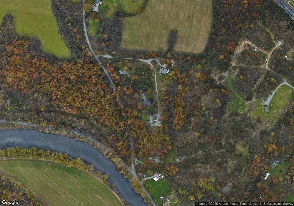
Map
Nearby Homes
- 15939 Hosta Dr
- 11819 White Pine Dr
- 15926 Hosta Dr
- 11805 White Pine Dr
- 11905 Heather Dr
- 12009 S Scottish Ct
- 12036 N Scottish Ct
- 10744 Apple Tree Ln
- 10612 Honeyfield Rd
- 10616 Peachtree Ln
- 16802 Alcott Rd
- 16841 Longfellow Ct
- 16804 Longfellow Ct Unit 652
- 10502 Honeyfield Rd
- 16847 Longfellow Ct
- 15735 Fenton Ave
- 15733 Fenton Ave
- 16810 Alcott Rd
- 15029 Clear Spring Rd
- 14924 Clear Spring Rd
- 15925 Clarence Pike Dr
- 11525 Walnut Point and 11527 Rd
- 15914 Clarence Pike Dr
- 15911 Clarence Pike Dr
- 11525 Walnut Point Rd
- 11437 Kemps Mill Rd
- 11530 Rock Hill Rd
- 11429 Kemps Mill Rd
- 11423 Kemps Mill Rd
- 11625 Walnut Point Rd
- 11540 Rock Hill Rd
- 11413 Kemps Mill Rd
- 11631 Walnut Point Rd
- 11442 Rock Hill Rd
- 11405 Kemps Mill Rd
- 11407 Kemps Mill Rd
- 11701 Walnut Point Rd
- 11339 Kemps Mill Rd
- 11707 Walnut Point Rd
- 11707 Walnut Point Rd