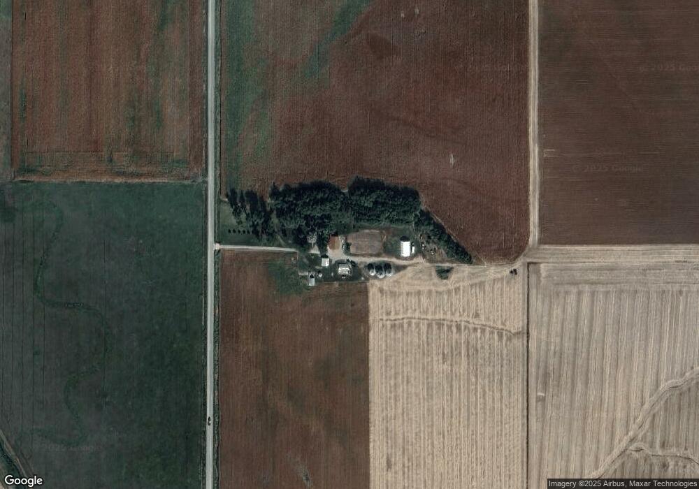
1154 21st Rd West Point, NE 68788
Estimated Value: $385,000 - $672,566
2
Beds
1
Bath
1,836
Sq Ft
$289/Sq Ft
Est. Value
About This Home
This home is located at 1154 21st Rd, West Point, NE 68788 and is currently estimated at $530,522, approximately $288 per square foot. 1154 21st Rd is a home located in Cuming County with nearby schools including West Point-Beemer Junior/Senior High School.
Create a Home Valuation Report for This Property
The Home Valuation Report is an in-depth analysis detailing your home's value as well as a comparison with similar homes in the area
Home Values in the Area
Average Home Value in this Area
Tax History Compared to Growth
Tax History
| Year | Tax Paid | Tax Assessment Tax Assessment Total Assessment is a certain percentage of the fair market value that is determined by local assessors to be the total taxable value of land and additions on the property. | Land | Improvement |
|---|---|---|---|---|
| 2025 | $3,110 | $598,470 | $421,930 | $176,540 |
| 2024 | $3,110 | $518,905 | $368,225 | $150,680 |
| 2023 | $4,298 | $481,650 | $330,570 | $151,080 |
| 2022 | $4,335 | $443,330 | $315,310 | $128,020 |
| 2021 | $4,403 | $445,595 | $323,790 | $121,805 |
| 2020 | $4,491 | $461,030 | $349,655 | $111,375 |
| 2019 | $4,380 | $441,295 | $349,460 | $91,835 |
| 2018 | $4,490 | $457,480 | $362,845 | $94,635 |
| 2017 | $4,205 | $413,225 | $323,670 | $89,555 |
| 2016 | $4,155 | $387,975 | $302,235 | $85,740 |
| 2015 | $4,248 | $363,325 | $277,585 | $85,740 |
| 2014 | $3,127 | $317,615 | $234,010 | $83,605 |
| 2013 | $3,127 | $232,175 | $164,745 | $67,430 |
Source: Public Records
Map
Nearby Homes