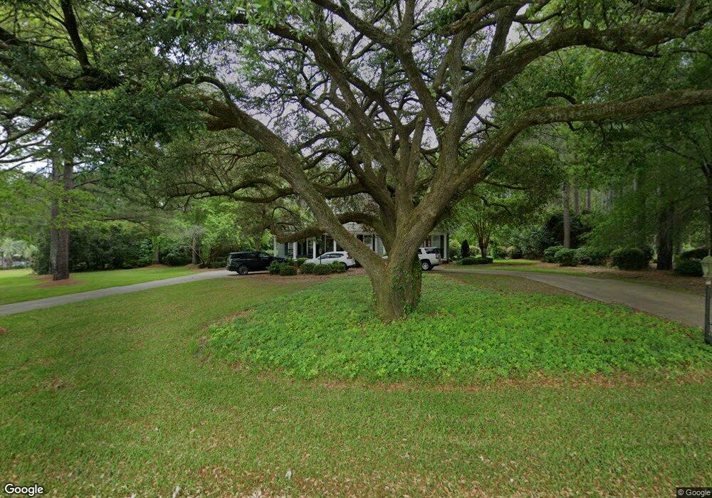
1154 Bob White Dr Manning, SC 29102
Estimated Value: $281,000 - $575,000
--
Bed
--
Bath
2,870
Sq Ft
$143/Sq Ft
Est. Value
About This Home
This home is located at 1154 Bob White Dr, Manning, SC 29102 and is currently estimated at $409,346, approximately $142 per square foot. 1154 Bob White Dr is a home with nearby schools including Manning Early Childhood Center, Manning Primary School, and Manning Elementary School.
Ownership History
Date
Name
Owned For
Owner Type
Purchase Details
Closed on
Dec 12, 2013
Sold by
Salek Eric and Salek Erica W
Bought by
Brewer Michael G
Current Estimated Value
Home Financials for this Owner
Home Financials are based on the most recent Mortgage that was taken out on this home.
Original Mortgage
$260,000
Outstanding Balance
$193,717
Interest Rate
4.13%
Mortgage Type
New Conventional
Estimated Equity
$215,629
Create a Home Valuation Report for This Property
The Home Valuation Report is an in-depth analysis detailing your home's value as well as a comparison with similar homes in the area
Home Values in the Area
Average Home Value in this Area
Purchase History
| Date | Buyer | Sale Price | Title Company |
|---|---|---|---|
| Brewer Michael G | $325,000 | None Available |
Source: Public Records
Mortgage History
| Date | Status | Borrower | Loan Amount |
|---|---|---|---|
| Open | Brewer Michael G | $260,000 |
Source: Public Records
Tax History Compared to Growth
Tax History
| Year | Tax Paid | Tax Assessment Tax Assessment Total Assessment is a certain percentage of the fair market value that is determined by local assessors to be the total taxable value of land and additions on the property. | Land | Improvement |
|---|---|---|---|---|
| 2024 | $2,857 | $14,246 | $1,395 | $12,851 |
| 2023 | $2,800 | $14,296 | $1,400 | $12,896 |
| 2022 | $2,767 | $14,296 | $1,400 | $12,896 |
| 2021 | $2,364 | $12,388 | $1,200 | $11,188 |
| 2020 | $2,364 | $12,388 | $1,200 | $11,188 |
| 2019 | $2,189 | $12,388 | $1,200 | $11,188 |
| 2018 | $2,057 | $12,388 | $0 | $0 |
| 2017 | $2,058 | $12,388 | $0 | $0 |
| 2016 | $1,992 | $12,388 | $0 | $0 |
| 2015 | $2,084 | $12,776 | $2,000 | $10,776 |
| 2014 | $5,845 | $19,164 | $3,000 | $16,164 |
| 2013 | -- | $8,021 | $846 | $7,175 |
Source: Public Records
Map
Nearby Homes
- 406 Thames St
- 1111 Foxbrook Ln
- 227 N Church St
- 107 Sumter St
- 101 Sumter St
- 40 W Rigby St
- 409 W Boyce St
- 200 W Boyce St
- 5301 Cypress Pointe #D301
- 1112 Blue Heron Pointe
- 1000 Carolina Way Unit Lot 80
- 1000 Carolina Way
- 205 E Boyce St
- 111 Richard St
- 218 Breedin St
- 220 Packard Ln
- TBD Old Georgetown Rd @ I95
- W Huggins St
- 408 Toccoa Dr
- 404 S Church St
- 1192 Bob White Dr
- 1102 Bob White Dr
- 1147 Bob White Dr
- 1244 Bob White Dr
- 1266 Bob White Dr
- 321 Old Georgetown Rd
- 307 Old Georgetown Rd
- 407 Pocotaligo Dr
- 345 Old Georgetown Rd
- 301 Old Georgetown Rd
- 413 Pocotaligo Dr
- 00 Old Georgetown Rd
- 0 Old Georgetown Rd
- 113 Morgan Dr
- 103 Morgan Dr
- 109 Morgan Dr
- 107 Morgan Dr
- 115 Morgan Dr
- 119 Morgan Dr
- 101 Morgan Dr