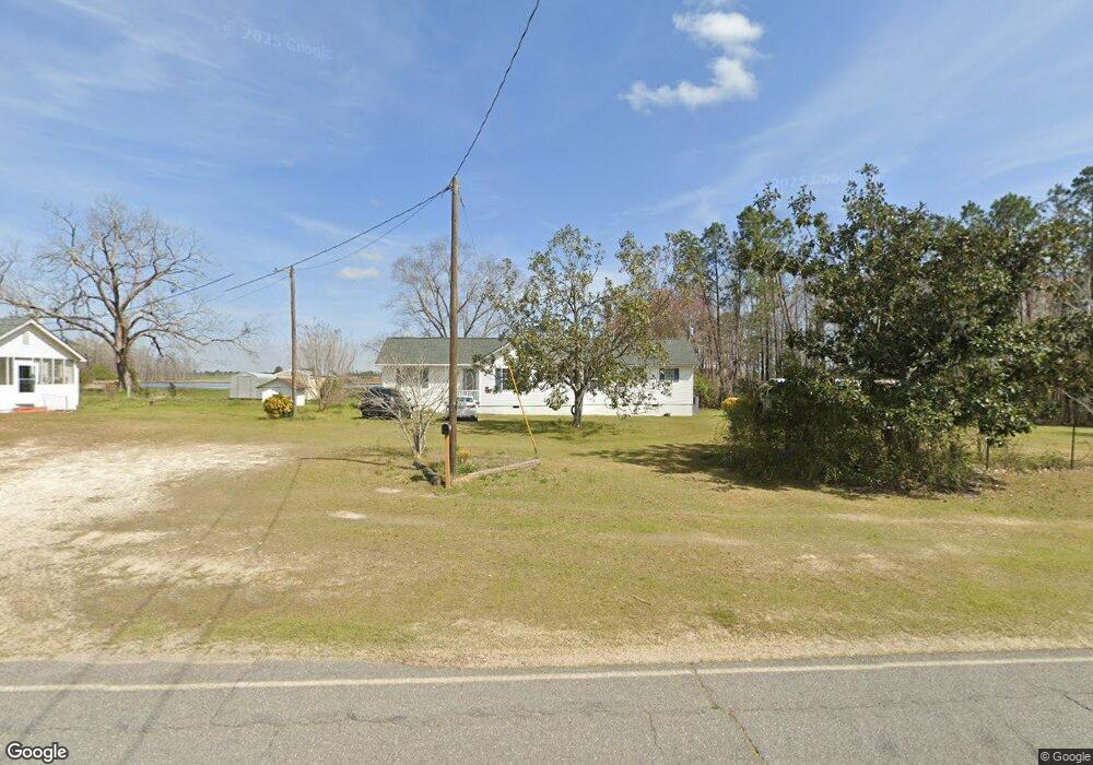
1154 Wes Lawson Rd Adrian, GA 31002
Estimated Value: $179,000 - $181,882
2
Beds
2
Baths
1,596
Sq Ft
$113/Sq Ft
Est. Value
About This Home
This home is located at 1154 Wes Lawson Rd, Adrian, GA 31002 and is currently estimated at $180,294, approximately $112 per square foot. 1154 Wes Lawson Rd is a home located in Emanuel County with nearby schools including Swainsboro Primary School, Swainsboro Elementary School, and Swainsboro Middle School.
Ownership History
Date
Name
Owned For
Owner Type
Purchase Details
Closed on
Sep 18, 2013
Sold by
F & R Alliance Grp Llc Tru
Bought by
Hayes Rita H
Current Estimated Value
Purchase Details
Closed on
Nov 13, 2008
Sold by
Hayes Rita H
Bought by
F & R Real Estate Privacy Trust
Purchase Details
Closed on
May 28, 2002
Sold by
Hayes Rita H
Bought by
Hayes Raymond L and Hayes Ri
Purchase Details
Closed on
May 20, 2002
Sold by
Riner Bertha L
Bought by
Hayes Rita H
Create a Home Valuation Report for This Property
The Home Valuation Report is an in-depth analysis detailing your home's value as well as a comparison with similar homes in the area
Purchase History
| Date | Buyer | Sale Price | Title Company |
|---|---|---|---|
| Hayes Rita H | -- | -- | |
| F & R Real Estate Privacy Trust | -- | -- | |
| Hayes Raymond L | -- | -- | |
| Hayes Rita H | -- | -- |
Source: Public Records
Tax History
| Year | Tax Paid | Tax Assessment Tax Assessment Total Assessment is a certain percentage of the fair market value that is determined by local assessors to be the total taxable value of land and additions on the property. | Land | Improvement |
|---|---|---|---|---|
| 2025 | $1,132 | $49,009 | $3,895 | $45,114 |
| 2024 | $1,190 | $47,850 | $3,636 | $44,214 |
| 2023 | $470 | $39,645 | $2,856 | $36,788 |
| 2022 | $832 | $36,469 | $2,856 | $33,613 |
| 2021 | $778 | $33,938 | $2,597 | $31,341 |
| 2020 | $611 | $26,786 | $3,563 | $23,223 |
| 2019 | $607 | $26,786 | $3,563 | $23,223 |
| 2018 | $771 | $26,786 | $3,563 | $23,223 |
| 2017 | $783 | $27,146 | $3,563 | $23,583 |
| 2016 | $611 | $27,015 | $3,563 | $23,452 |
| 2015 | -- | $27,014 | $3,563 | $23,452 |
| 2014 | -- | $26,904 | $3,563 | $23,342 |
| 2013 | -- | $26,686 | $3,557 | $23,128 |
Source: Public Records
Map
Nearby Homes
- 600 Alton Lawson Rd
- 87 Georgia Ave
- 181 Faith Tabernacle Rd
- 0 Sardis Church Rd Unit 10688482
- 55 Hatcher St
- 151 Brantley Midas Rd
- 742 Halls Bridge Rd
- 2195 Montgomery St
- 0 Deer Creek W
- 0 Deer Creek Dr Unit 10373260
- 0 S Highway 1 Unit 10340744
- 0 Bill Glenn Rd Off Highway 56 Unit 10679952
- 0 E Highway 80 Unit 10564175
- 1952 Jump N Run Rd
- 35 Barwick Kea Rd
- 114 Ohoopee Rd
- 0 Old Dellwood Rd Unit 10726058
- 459 Prince Ave
- 1513 Paris Ave
- 1016 Old Wadley Rd
- 1154 Wes Lawson Rd
- 0 Love Rd
- 1124 Wes Lawson Rd
- 8 Ray Henry Rd
- 16 Ricky Rd
- 1094 Wes Lawson Rd
- 35 Love Rd
- 49 Ray Henry Rd
- 27 Alton Lawson Rd
- 18 Alton Lawson Rd
- 10 Wilson Rd
- 36 Love Rd
- 36 Love Rd
- 83 Alton Lawson Rd
- 95 Ray Henry Rd
- 1037 Wendy Rd
- 1239 Wes Lawson Rd
- 1258 Wes Lawson Rd
- 923 Cow Ford Bridge Rd
- 115 Wilson Rd
Your Personal Tour Guide
Ask me questions while you tour the home.