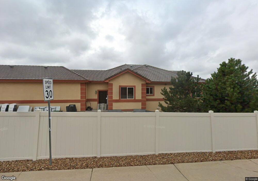
11543 W 73rd Dr Arvada, CO 80005
Harvest Lane NeighborhoodEstimated Value: $849,000 - $1,123,000
5
Beds
3
Baths
4,878
Sq Ft
$204/Sq Ft
Est. Value
About This Home
This home is located at 11543 W 73rd Dr, Arvada, CO 80005 and is currently estimated at $993,694, approximately $203 per square foot. 11543 W 73rd Dr is a home located in Jefferson County with nearby schools including Fremont Elementary School, Oberon Middle School, and Arvada West High School.
Ownership History
Date
Name
Owned For
Owner Type
Purchase Details
Closed on
Nov 22, 2013
Sold by
Chesnokov David and Chesnokov Galina
Bought by
Gibson Scott E and Gibson Cheryl A
Current Estimated Value
Home Financials for this Owner
Home Financials are based on the most recent Mortgage that was taken out on this home.
Original Mortgage
$400,000
Outstanding Balance
$299,008
Interest Rate
4.29%
Mortgage Type
New Conventional
Estimated Equity
$694,686
Purchase Details
Closed on
Feb 12, 2010
Sold by
Chesnokov David and Yermilova Galina
Bought by
Chesnokov David and Chesnokov Galina
Home Financials for this Owner
Home Financials are based on the most recent Mortgage that was taken out on this home.
Original Mortgage
$299,049
Interest Rate
5.05%
Mortgage Type
Construction
Purchase Details
Closed on
Aug 28, 2006
Sold by
Schwinn Properties Llc
Bought by
Chesnokov David and Yermilova Galina
Create a Home Valuation Report for This Property
The Home Valuation Report is an in-depth analysis detailing your home's value as well as a comparison with similar homes in the area
Home Values in the Area
Average Home Value in this Area
Purchase History
| Date | Buyer | Sale Price | Title Company |
|---|---|---|---|
| Gibson Scott E | $500,000 | First American | |
| Chesnokov David | -- | None Available | |
| Chesnokov David | $172,500 | Security Title |
Source: Public Records
Mortgage History
| Date | Status | Borrower | Loan Amount |
|---|---|---|---|
| Open | Gibson Scott E | $400,000 | |
| Previous Owner | Chesnokov David | $299,049 |
Source: Public Records
Tax History
| Year | Tax Paid | Tax Assessment Tax Assessment Total Assessment is a certain percentage of the fair market value that is determined by local assessors to be the total taxable value of land and additions on the property. | Land | Improvement |
|---|---|---|---|---|
| 2024 | $6,433 | $66,323 | $20,206 | $46,117 |
| 2023 | $6,433 | $66,323 | $20,206 | $46,117 |
| 2022 | $5,542 | $56,587 | $12,659 | $43,928 |
| 2021 | $5,633 | $58,215 | $13,023 | $45,192 |
| 2020 | $5,325 | $55,186 | $12,142 | $43,044 |
| 2019 | $5,254 | $55,186 | $12,142 | $43,044 |
| 2018 | $5,054 | $51,613 | $11,538 | $40,075 |
| 2017 | $4,626 | $51,613 | $11,538 | $40,075 |
| 2016 | $4,169 | $43,817 | $9,191 | $34,626 |
| 2015 | $3,840 | $43,817 | $9,191 | $34,626 |
| 2014 | $3,840 | $37,930 | $8,462 | $29,468 |
Source: Public Records
Map
Nearby Homes
- 7482 Routt Ln
- 11825 W 73rd Dr
- 11264 W 76th Place
- 7130 Simms St Unit 207
- 7140 Simms St Unit 102
- 7080 Simms St Unit 204
- 11500 W 76th Way
- 11622 W 71st Ave
- 7651 Oak St
- 11921 W 70th Place
- 11530 W 70th Place Unit F
- 7072 Taft Ct
- 10250 W 73rd Place
- 11003 W 78th Ave
- 11802 W 77th Dr
- 7154 Welch Ct
- 7049 Van Gordon Ct
- 10512 W 75th Ave
- 12446 W 71st Place
- 6984 Owens St
- 11553 W 73rd Dr
- 7385 Routt St
- 11523 W 73rd Dr
- 11517 W 74th Ave
- 11537 W 74th Ave
- 11487 W 74th Ave
- 11605 W 74th Ave
- 11524 W 73rd Dr
- 11616 W 74th Way
- 11544 W 73rd Dr
- 11466 W 74th Ave
- 11635 W 74th Ave
- 7472 Routt Ln
- 11626 W 74th Way
- 11600 W 74th Ave
- 7466 Routt Ln
- 7370 Routt St
- 7524 Queen Cir
- 11617 W 74th Way
- 7400 Simms St
Your Personal Tour Guide
Ask me questions while you tour the home.