11545 Independence Rd SW Rochester, WA 98579
Estimated Value: $432,000 - $718,000
3
Beds
2
Baths
1,672
Sq Ft
$342/Sq Ft
Est. Value
About This Home
This home is located at 11545 Independence Rd SW, Rochester, WA 98579 and is currently estimated at $572,001, approximately $342 per square foot. 11545 Independence Rd SW is a home located in Thurston County with nearby schools including Rochester Primary School, Grand Mound Elementary School, and Rochester Middle School.
Ownership History
Date
Name
Owned For
Owner Type
Purchase Details
Closed on
May 24, 2013
Sold by
Clapp Betsy
Bought by
Daggett Lloyd W and Daggett Anna J
Current Estimated Value
Home Financials for this Owner
Home Financials are based on the most recent Mortgage that was taken out on this home.
Original Mortgage
$255,000
Outstanding Balance
$178,816
Interest Rate
3.25%
Mortgage Type
New Conventional
Estimated Equity
$393,185
Purchase Details
Closed on
Jul 15, 1999
Sold by
Ayers Howard and Ayers Verna Lee
Bought by
Roth Richard E and Clapp Betsy
Home Financials for this Owner
Home Financials are based on the most recent Mortgage that was taken out on this home.
Original Mortgage
$180,000
Interest Rate
7.4%
Mortgage Type
Purchase Money Mortgage
Create a Home Valuation Report for This Property
The Home Valuation Report is an in-depth analysis detailing your home's value as well as a comparison with similar homes in the area
Home Values in the Area
Average Home Value in this Area
Purchase History
| Date | Buyer | Sale Price | Title Company |
|---|---|---|---|
| Daggett Lloyd W | $335,000 | Thurston County Title | |
| Roth Richard E | -- | Thurston County Title Co |
Source: Public Records
Mortgage History
| Date | Status | Borrower | Loan Amount |
|---|---|---|---|
| Open | Daggett Lloyd W | $255,000 | |
| Previous Owner | Roth Richard E | $180,000 | |
| Closed | Roth Richard E | $20,000 |
Source: Public Records
Tax History Compared to Growth
Tax History
| Year | Tax Paid | Tax Assessment Tax Assessment Total Assessment is a certain percentage of the fair market value that is determined by local assessors to be the total taxable value of land and additions on the property. | Land | Improvement |
|---|---|---|---|---|
| 2024 | $2,597 | $267,640 | $33,840 | $233,800 |
| 2023 | $2,597 | $290,820 | $38,920 | $251,900 |
| 2022 | $2,305 | $284,430 | $13,830 | $270,600 |
| 2021 | $2,108 | $216,230 | $13,830 | $202,400 |
| 2020 | $2,407 | $181,540 | $13,840 | $167,700 |
| 2019 | $2,130 | $173,920 | $9,420 | $164,500 |
| 2018 | $2,216 | $150,110 | $9,810 | $140,300 |
| 2017 | $2,150 | $146,810 | $9,710 | $137,100 |
| 2016 | $2,009 | $131,930 | $9,430 | $122,500 |
| 2014 | -- | $134,190 | $9,390 | $124,800 |
Source: Public Records
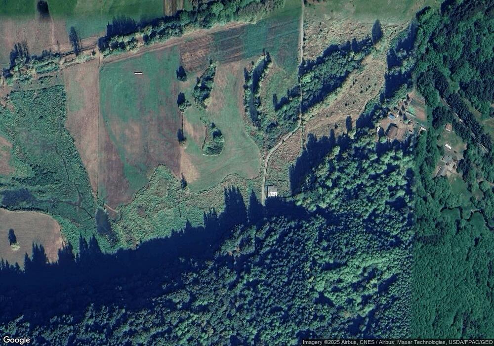
Map
Nearby Homes
- 10931 Lundeen Rd SW
- 10630 Lundeen Rd SW
- 20449 Michigan Hill Rd SW
- 10239 185th Ave SW Unit 45
- 9538 184th Ave SW
- 10346 210th Ln SW
- 18125 Albany St SW
- 9727 Lundeen Rd SW
- 18525 Paulson St SW
- 18602 Paulson St SW
- 13010 Highway 12 SW
- 17930 Albany St SW Unit 57
- 17930 Littlerock Rd SW
- 17710 Albany St SW
- 0 Roseburg St SW Unit NWM2371565
- 12630 183rd Ave SW
- 12624 183rd Ave SW
- 18024 Jordan St SW
- 18549 Roseburg St SW
- 17731 Jordan St SW
- 19531 Michigan Hill Rd SW
- 19445 Michigan Hill Rd SW
- 19520 Michigan Hill Rd SW
- 12510 Independence Rd SW
- 11300 Independence Rd SW
- 11717 Independence Rd SW
- 11536 Independence Rd SW
- 0 Independence Rd Unit 682667
- 0 Independence Rd Unit 682702
- 0 Independence Rd Unit 682696
- 0 Independence Rd Unit 682713
- 0 Independence Rd Unit 28186733
- 0 Independence Rd Unit 1192679
- 0 Independence Rd Unit 1193150
- 0 Independence Rd Unit 1192673
- 0 Independence Rd Unit 1767575
- 0 Independence Rd Unit 1767489
- 11115 Lundeen Rd SW
- 11732 Independence Rd SW
- 0 XXX Michigan Hill Rd SW