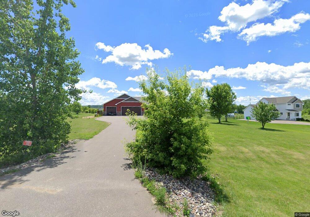
1155 134th Ave New Richmond, WI 54017
Richmond NeighborhoodEstimated Value: $448,463 - $475,000
--
Bed
--
Bath
--
Sq Ft
2.14
Acres
About This Home
This home is located at 1155 134th Ave, New Richmond, WI 54017 and is currently estimated at $456,866. 1155 134th Ave is a home located in St. Croix County with nearby schools including New Richmond High School.
Ownership History
Date
Name
Owned For
Owner Type
Purchase Details
Closed on
Jan 7, 2011
Sold by
Donovan Heather L and Donovan David L
Bought by
Donovan Heather L and Donovan David L
Current Estimated Value
Purchase Details
Closed on
Apr 2, 2007
Sold by
Waters Edge Construction Inc
Bought by
Bauer Heather L and Donovan David L
Home Financials for this Owner
Home Financials are based on the most recent Mortgage that was taken out on this home.
Original Mortgage
$213,750
Interest Rate
6.63%
Mortgage Type
New Conventional
Create a Home Valuation Report for This Property
The Home Valuation Report is an in-depth analysis detailing your home's value as well as a comparison with similar homes in the area
Home Values in the Area
Average Home Value in this Area
Purchase History
| Date | Buyer | Sale Price | Title Company |
|---|---|---|---|
| Donovan Heather L | -- | None Available | |
| Bauer Heather L | $225,000 | None Available | |
| Waters Edge Construction Inc | $49,400 | None Available |
Source: Public Records
Mortgage History
| Date | Status | Borrower | Loan Amount |
|---|---|---|---|
| Previous Owner | Bauer Heather L | $213,750 |
Source: Public Records
Tax History Compared to Growth
Tax History
| Year | Tax Paid | Tax Assessment Tax Assessment Total Assessment is a certain percentage of the fair market value that is determined by local assessors to be the total taxable value of land and additions on the property. | Land | Improvement |
|---|---|---|---|---|
| 2024 | $50 | $401,000 | $44,500 | $356,500 |
| 2023 | $4,926 | $401,000 | $44,500 | $356,500 |
| 2022 | $4,019 | $401,000 | $44,500 | $356,500 |
| 2021 | $2,979 | $401,000 | $44,500 | $356,500 |
| 2020 | $3,268 | $192,700 | $25,400 | $167,300 |
| 2019 | $3,178 | $192,700 | $25,400 | $167,300 |
| 2018 | $3,090 | $192,700 | $25,400 | $167,300 |
| 2017 | $3,005 | $192,700 | $25,400 | $167,300 |
| 2016 | $3,005 | $192,700 | $25,400 | $167,300 |
| 2015 | $3,136 | $192,700 | $25,400 | $167,300 |
| 2014 | $3,020 | $192,700 | $25,400 | $167,300 |
| 2013 | $2,889 | $192,700 | $25,400 | $167,300 |
Source: Public Records
Map
Nearby Homes
- 1438 129th St
- 1101 148th Ave
- 1193 121st St
- TBD 119th Ave
- 1318 146th Ave
- 943 146th Ave
- 906 131st Ave
- 1295 110th Ave
- 1448 142nd St
- 1417 146th Ave
- 1002 159th Ave
- 1824 White Pine Way
- 1764 Sequoia Ln
- 1149 Sugar Pine Ln
- 1137 Sugar Pine Ln
- 1261 84th St
- 1622 100th St
- 1957 Cattail Place Unit Lot 7
- TBD Cattail Ln Unit Lot 8
- TBD Cattail Ln Unit Lot 9
- 1151 134th Ave
- 1159 134th Ave
- 1147 134th Ave
- 1148 132nd Ave
- 1144 132nd Ave
- 1144 1144 132nd Ave
- 1160 134th Ave
- 1148 132nd Ave
- 1143 134th Ave
- 1156 134th Ave
- 1142 132nd Ave
- 1328 116th St
- 1152 134th Ave
- 1344 116th St
- 1144 134th Ave
- Lot 36 132nd Ave
- Lot 44 132nd Ave
- Lot 43 132nd Ave
- 1156 132nd Ave
- 1156 1156 132nd Ave