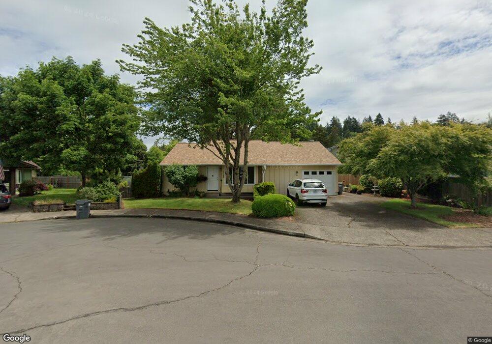
1155 Clinton Dr Eugene, OR 97401
Cal Young NeighborhoodEstimated Value: $427,000 - $503,000
3
Beds
2
Baths
1,266
Sq Ft
$359/Sq Ft
Est. Value
About This Home
This home is located at 1155 Clinton Dr, Eugene, OR 97401 and is currently estimated at $454,474, approximately $358 per square foot. 1155 Clinton Dr is a home located in Lane County with nearby schools including Willagillespie Elementary School, Cal Young Middle School, and Sheldon High School.
Ownership History
Date
Name
Owned For
Owner Type
Purchase Details
Closed on
Mar 10, 2010
Sold by
State Of Oregon
Bought by
Mielke Susan J and Mielke John S
Current Estimated Value
Home Financials for this Owner
Home Financials are based on the most recent Mortgage that was taken out on this home.
Original Mortgage
$135,500
Outstanding Balance
$89,189
Interest Rate
5%
Mortgage Type
New Conventional
Estimated Equity
$365,285
Create a Home Valuation Report for This Property
The Home Valuation Report is an in-depth analysis detailing your home's value as well as a comparison with similar homes in the area
Home Values in the Area
Average Home Value in this Area
Purchase History
| Date | Buyer | Sale Price | Title Company |
|---|---|---|---|
| Mielke Susan J | -- | Evergreen Land Title Co |
Source: Public Records
Mortgage History
| Date | Status | Borrower | Loan Amount |
|---|---|---|---|
| Open | Mielke Susan J | $135,500 |
Source: Public Records
Tax History
| Year | Tax Paid | Tax Assessment Tax Assessment Total Assessment is a certain percentage of the fair market value that is determined by local assessors to be the total taxable value of land and additions on the property. | Land | Improvement |
|---|---|---|---|---|
| 2025 | $3,741 | $223,596 | -- | -- |
| 2024 | $3,695 | $217,084 | -- | -- |
| 2023 | $3,695 | $210,762 | $0 | $0 |
| 2022 | $3,462 | $204,624 | $0 | $0 |
| 2021 | $3,251 | $198,665 | $0 | $0 |
| 2020 | $3,263 | $192,879 | $0 | $0 |
| 2019 | $3,151 | $187,262 | $0 | $0 |
| 2018 | $2,966 | $176,513 | $0 | $0 |
| 2017 | $2,807 | $176,513 | $0 | $0 |
| 2016 | $2,681 | $171,372 | $0 | $0 |
| 2015 | $2,565 | $166,381 | $0 | $0 |
| 2014 | $2,487 | $161,535 | $0 | $0 |
Source: Public Records
Map
Nearby Homes
- 1230 Debrick Rd
- 0 Butte Ln
- 0 Crenshaw Rd Unit 740506614
- 1376 Brickley Rd
- 1282 Evening Star Ln
- 1230 Evening Star Ln
- 410 Spyglass Dr
- 996 Sherwood Place
- 516 Spyglass Dr
- 1328 Spyglass Dr
- 0 Piper Ln Unit Lot 1
- 0 Piper Ln Unit Lot 3
- 0 Piper Ln Unit Lot 2
- 0 Piper Ln Unit Lot 5
- 982 Shaughnessy Ln
- 1500 Norkenzie Rd Unit 12
- 875 Sand Ave
- 1625 Monterey Ln
- 0 Cal Young Rd Unit Lot 4
- 1332 Jeppesen Ave
- 1167 Clinton Dr
- 1151 Clinton Dr
- 1173 Clinton Dr
- 1147 Clinton Dr
- 1135 Clinton Dr
- 1127 Clinton Dr
- 1174 Lorella Ave
- 1143 Clinton Dr
- 1218 Debrick Rd
- 1170 Lorella Ave
- 1168 Lorella Ave
- 1162 Clinton Dr
- 1115 Clinton Dr
- 1178 Lorella Ave
- 1166 Lorella Ave
- 1154 Clinton Dr
- 1111 Clinton Dr
- 1120 Butte Ln
- 1162 Lorella Ave
Your Personal Tour Guide
Ask me questions while you tour the home.