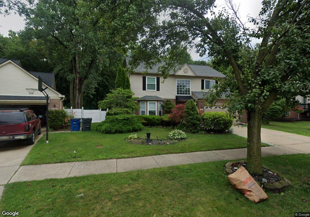
1155 Craig Dr Westland, MI 48186
Estimated Value: $344,000 - $381,000
4
Beds
4
Baths
2,316
Sq Ft
$155/Sq Ft
Est. Value
About This Home
This home is located at 1155 Craig Dr, Westland, MI 48186 and is currently estimated at $358,817, approximately $154 per square foot. 1155 Craig Dr is a home located in Wayne County with nearby schools including Alexander Hamilton Elementary School, Adams Middle School, and Benjamin Franklin Middle School.
Ownership History
Date
Name
Owned For
Owner Type
Purchase Details
Closed on
Aug 25, 2011
Sold by
Wells Fargo Bank Na
Bought by
Cozart Chandra
Current Estimated Value
Purchase Details
Closed on
Dec 14, 2010
Sold by
Onewest Bank Fsb
Bought by
Wells Fargo Bank Na
Purchase Details
Closed on
Nov 18, 2010
Sold by
Catalla Leo and Catalla Andrea
Bought by
Onewest Bank Fsb
Purchase Details
Closed on
Sep 22, 2000
Sold by
Galaxy Builders Inc
Bought by
Catalla Andrea
Purchase Details
Closed on
Jun 8, 2000
Sold by
Wildwood Assoc One Llc
Bought by
Galaxy Builders Inc
Create a Home Valuation Report for This Property
The Home Valuation Report is an in-depth analysis detailing your home's value as well as a comparison with similar homes in the area
Home Values in the Area
Average Home Value in this Area
Purchase History
| Date | Buyer | Sale Price | Title Company |
|---|---|---|---|
| Cozart Chandra | $125,700 | Attorneys Title Agency Llc | |
| Wells Fargo Bank Na | -- | None Available | |
| Onewest Bank Fsb | $93,750 | None Available | |
| Catalla Andrea | $218,400 | -- | |
| Galaxy Builders Inc | $42,500 | -- |
Source: Public Records
Tax History Compared to Growth
Tax History
| Year | Tax Paid | Tax Assessment Tax Assessment Total Assessment is a certain percentage of the fair market value that is determined by local assessors to be the total taxable value of land and additions on the property. | Land | Improvement |
|---|---|---|---|---|
| 2025 | $3,317 | $179,800 | $0 | $0 |
| 2024 | $3,317 | $168,900 | $0 | $0 |
| 2023 | $3,168 | $158,600 | $0 | $0 |
| 2022 | $3,685 | $143,100 | $0 | $0 |
| 2021 | $3,593 | $131,500 | $0 | $0 |
| 2020 | $3,554 | $133,100 | $0 | $0 |
| 2019 | $3,425 | $107,800 | $0 | $0 |
| 2018 | $2,606 | $98,000 | $0 | $0 |
| 2017 | $1,227 | $89,800 | $0 | $0 |
| 2016 | $3,324 | $90,700 | $0 | $0 |
| 2015 | $6,451 | $70,420 | $0 | $0 |
| 2013 | $6,799 | $71,290 | $0 | $0 |
| 2012 | $5,891 | $85,000 | $0 | $0 |
Source: Public Records
Map
Nearby Homes
- 34114 Avondale St
- 34465 Fairchild St
- 34553 Hazelwood St
- 711 S Hawthorne St
- 1631 Ackley Ave
- 1681 Stieber St
- 1645 Regene St
- 366 S Wildwood St
- 451 Darwin St
- 2017 Eastport St
- 34728 Somerset St
- 1858 Stieber St Unit 5
- 754 Alvin St
- 357 S Dobson St
- 35236 Glen St
- 2012 Dryden St
- 35193 Sansburn St
- 232 S Wildwood St
- 284 S Byfield St
- 2722 Ackley Ave
- 1135 Craig Dr
- 1195 Craig Dr
- 1182 Craig Dr
- 1215 Craig Dr
- 34263 Fairchild Dr
- 1202 Craig Dr
- 1152 Michael Dr
- 34251 Fairchild Dr
- 34254 Fairchild Dr Unit Bldg-Unit
- 34254 Fairchild Dr
- 1235 Craig Dr
- 1222 Craig Dr
- 34290 Fairchild Dr
- 34242 Fairchild Dr
- 34230 Fairchild Dr
- 1187 Michael Dr
- 34266 Fairchild Dr
- 34275 Fairchild Dr
- 1255 Craig Dr
- 1207 Michael Dr