1155 Lowell Rd Concord, MA 01742
Estimated Value: $2,071,226 - $3,333,000
4
Beds
4
Baths
2,506
Sq Ft
$1,022/Sq Ft
Est. Value
About This Home
This home is located at 1155 Lowell Rd, Concord, MA 01742 and is currently estimated at $2,562,307, approximately $1,022 per square foot. 1155 Lowell Rd is a home located in Middlesex County with nearby schools including Thoreau Elementary School, Concord Middle School, and Concord Carlisle High School.
Ownership History
Date
Name
Owned For
Owner Type
Purchase Details
Closed on
Jul 17, 1991
Sold by
Newbury Anne C
Bought by
Schnitzer Michael M and Schnitzer Sara S
Current Estimated Value
Create a Home Valuation Report for This Property
The Home Valuation Report is an in-depth analysis detailing your home's value as well as a comparison with similar homes in the area
Home Values in the Area
Average Home Value in this Area
Purchase History
| Date | Buyer | Sale Price | Title Company |
|---|---|---|---|
| Schnitzer Michael M | $625,000 | -- |
Source: Public Records
Mortgage History
| Date | Status | Borrower | Loan Amount |
|---|---|---|---|
| Closed | Schnitzer Michael M | $191,800 | |
| Closed | Schnitzer Michael M | $275,000 | |
| Closed | Schnitzer Michael M | $192,000 | |
| Closed | Schnitzer Michael M | $275,000 |
Source: Public Records
Tax History Compared to Growth
Tax History
| Year | Tax Paid | Tax Assessment Tax Assessment Total Assessment is a certain percentage of the fair market value that is determined by local assessors to be the total taxable value of land and additions on the property. | Land | Improvement |
|---|---|---|---|---|
| 2025 | $25,929 | $1,955,400 | $741,400 | $1,214,000 |
| 2024 | $25,035 | $1,906,700 | $741,400 | $1,165,300 |
| 2023 | $23,577 | $1,819,200 | $684,400 | $1,134,800 |
| 2022 | $28,857 | $1,955,100 | $570,500 | $1,384,600 |
| 2021 | $27,231 | $1,849,900 | $570,500 | $1,279,400 |
| 2020 | $27,925 | $1,962,400 | $570,500 | $1,391,900 |
| 2019 | $25,177 | $1,774,300 | $529,200 | $1,245,100 |
| 2018 | $24,992 | $1,748,900 | $535,900 | $1,213,000 |
| 2017 | $25,963 | $1,845,300 | $548,800 | $1,296,500 |
| 2016 | $24,045 | $1,727,400 | $523,200 | $1,204,200 |
| 2015 | $22,643 | $1,584,500 | $485,100 | $1,099,400 |
Source: Public Records
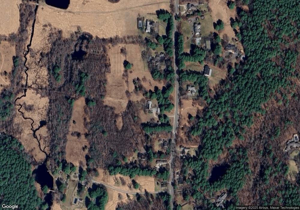
Map
Nearby Homes
- 987 Lowell Rd
- 495 Hugh Cargill Rd
- 19 Whippoorwill Ln
- 104 Channing Rd
- 76 Red Coat Ln
- 249 Pope Rd
- 247 Pope Rd
- 295 Musterfield Rd
- 244 Musterfield Rd
- 775 Monument St
- 343 Nashawtuc Rd
- 10 Wingate Ln
- 855 Barretts Mill Rd
- 79-81 Assabet Ave
- 134 Pope Rd
- 29 Willard Common
- 488 Elm St
- 49 Willard Common
- 1437-3 Monument St
- 168 Nashawtuc Rd
- 1117 Lowell Rd
- 1195 Lowell Rd
- 1172 Lowell Rd
- 1127 Lowell Rd
- 1114 Lowell Rd
- 1101 Lowell Rd
- 1084 Lowell Rd
- 1227 Lowell Rd
- 1228 Lowell Rd
- 1200 Lowell Rd
- 1208 Lowell Rd
- 1250 Lowell Rd
- 1075 Lowell Rd
- 1060 Lowell Rd
- 1266 Lowell Rd
- 1048 Lowell Rd
- 25 Lindsay Pond Rd
- 1014 Lowell Rd
- 968 Lowell Rd
- 1007 Lowell Rd