1155 Marriottsville Rd Marriottsville, MD 21104
Estimated Value: $658,000 - $725,000
--
Bed
2
Baths
1,606
Sq Ft
$426/Sq Ft
Est. Value
About This Home
This home is located at 1155 Marriottsville Rd, Marriottsville, MD 21104 and is currently estimated at $683,989, approximately $425 per square foot. 1155 Marriottsville Rd is a home located in Howard County with nearby schools including West Friendship Elementary School, Mount View Middle School, and Marriotts Ridge High School.
Ownership History
Date
Name
Owned For
Owner Type
Purchase Details
Closed on
Oct 28, 1997
Sold by
Cornmesser George B
Bought by
Benze Frederick W
Current Estimated Value
Purchase Details
Closed on
Aug 12, 1985
Sold by
Schaper William P and Schaper Wf
Bought by
Cornmesser George B
Home Financials for this Owner
Home Financials are based on the most recent Mortgage that was taken out on this home.
Original Mortgage
$29,999
Interest Rate
12.23%
Create a Home Valuation Report for This Property
The Home Valuation Report is an in-depth analysis detailing your home's value as well as a comparison with similar homes in the area
Home Values in the Area
Average Home Value in this Area
Purchase History
| Date | Buyer | Sale Price | Title Company |
|---|---|---|---|
| Benze Frederick W | $200,000 | -- | |
| Cornmesser George B | $30,000 | -- |
Source: Public Records
Mortgage History
| Date | Status | Borrower | Loan Amount |
|---|---|---|---|
| Previous Owner | Cornmesser George B | $29,999 | |
| Closed | Benze Frederick W | -- |
Source: Public Records
Tax History Compared to Growth
Tax History
| Year | Tax Paid | Tax Assessment Tax Assessment Total Assessment is a certain percentage of the fair market value that is determined by local assessors to be the total taxable value of land and additions on the property. | Land | Improvement |
|---|---|---|---|---|
| 2025 | $6,842 | $489,500 | $0 | $0 |
| 2024 | $6,842 | $455,600 | $256,300 | $199,300 |
| 2023 | $6,608 | $450,167 | $0 | $0 |
| 2022 | $6,495 | $444,733 | $0 | $0 |
| 2021 | $6,246 | $439,300 | $240,100 | $199,200 |
| 2020 | $6,246 | $426,367 | $0 | $0 |
| 2019 | $2,895 | $413,433 | $0 | $0 |
| 2018 | $5,575 | $400,500 | $213,600 | $186,900 |
| 2017 | $5,471 | $400,500 | $0 | $0 |
| 2016 | -- | $387,700 | $0 | $0 |
| 2015 | -- | $381,300 | $0 | $0 |
| 2014 | -- | $381,300 | $0 | $0 |
Source: Public Records
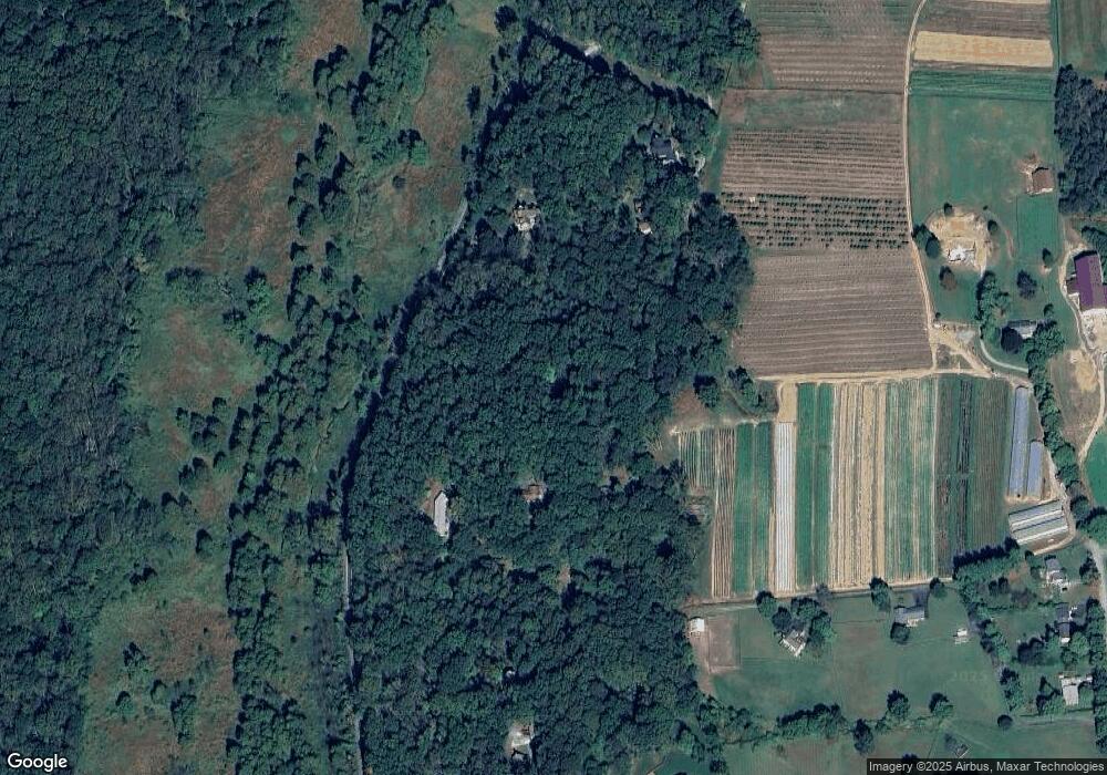
Map
Nearby Homes
- 1725 Marriottsville Rd
- 1795 Marriottsville Rd
- 1060 Henryton Rd
- 1800 Mount Denali Dr
- 11130 Chambers Ct Unit H
- 11120 Chambers Ct Unit Q
- 11100 Chambers Ct Unit C
- 11100 Chambers Ct Unit F
- 11150 Chambers Ct Unit H
- 11180 Chambers Ct Unit E
- 1336 Crows Foot Rd
- 2241 John Gravel Rd Unit M
- 2231 John Gravel Rd Unit L
- 2350 Adam David Way
- 12008 Mettee Rd
- 2218 Bromley Ct
- 12017 Sand Hill Manor Dr
- 2115 Ganton Green Unit G106
- 2208 Merion Pond
- 10313 Cavey Ln
- 1213 Marriottsville Rd
- 1221 Marriottsville Rd
- 1105 Marriottsville Rd
- 1105 Marriottsville Rd
- 1105 Marriottsville Rd
- 1205 Marriottsville Rd
- 1075 Marriottsville Rd
- 1055 Marriottsville Rd
- 1235 Marriottsville Rd
- 1272 Sugar Maple Dr
- 1249 Marriottsville Rd
- 1274 Sugar Maple Dr
- 1380 Driver Rd
- 1025 Marriottsville Rd
- 1382 Driver Rd
- 1200 Sugar Maple Dr
- 1262 Sugar Maple Dr
- 1280 Sugar Maple Dr
- 1275 Sugar Maple Dr
- 1284 Sugar Maple Dr