1155 W Brookfield Rd New Braintree, MA 01531
Estimated Value: $460,000 - $515,140
2
Beds
2
Baths
2,270
Sq Ft
$216/Sq Ft
Est. Value
About This Home
This home is located at 1155 W Brookfield Rd, New Braintree, MA 01531 and is currently estimated at $490,535, approximately $216 per square foot. 1155 W Brookfield Rd is a home located in Worcester County with nearby schools including Quabbin Regional Middle School and Quabbin Regional High School.
Ownership History
Date
Name
Owned For
Owner Type
Purchase Details
Closed on
Sep 28, 1995
Sold by
Para Donald A and Para Susan
Bought by
Hevy Michelle
Current Estimated Value
Home Financials for this Owner
Home Financials are based on the most recent Mortgage that was taken out on this home.
Original Mortgage
$8,000
Outstanding Balance
$58
Interest Rate
7.89%
Mortgage Type
Purchase Money Mortgage
Estimated Equity
$490,477
Create a Home Valuation Report for This Property
The Home Valuation Report is an in-depth analysis detailing your home's value as well as a comparison with similar homes in the area
Home Values in the Area
Average Home Value in this Area
Purchase History
| Date | Buyer | Sale Price | Title Company |
|---|---|---|---|
| Hevy Michelle | $28,000 | -- |
Source: Public Records
Mortgage History
| Date | Status | Borrower | Loan Amount |
|---|---|---|---|
| Open | Hevy Michelle | $8,000 |
Source: Public Records
Tax History Compared to Growth
Tax History
| Year | Tax Paid | Tax Assessment Tax Assessment Total Assessment is a certain percentage of the fair market value that is determined by local assessors to be the total taxable value of land and additions on the property. | Land | Improvement |
|---|---|---|---|---|
| 2025 | $66 | $446,900 | $61,400 | $385,500 |
| 2024 | $6,313 | $434,200 | $61,400 | $372,800 |
| 2023 | $5,750 | $391,700 | $61,400 | $330,300 |
| 2022 | $5,158 | $317,400 | $48,800 | $268,600 |
| 2021 | $5,262 | $301,200 | $45,700 | $255,500 |
| 2020 | $5,025 | $290,100 | $45,700 | $244,400 |
| 2019 | $5,037 | $296,300 | $45,700 | $250,600 |
| 2018 | $4,920 | $280,200 | $48,800 | $231,400 |
| 2017 | $4,596 | $254,500 | $52,000 | $202,500 |
| 2016 | $4,428 | $254,500 | $52,000 | $202,500 |
| 2015 | $4,338 | $267,100 | $58,600 | $208,500 |
| 2014 | $4,363 | $267,000 | $58,500 | $208,500 |
Source: Public Records
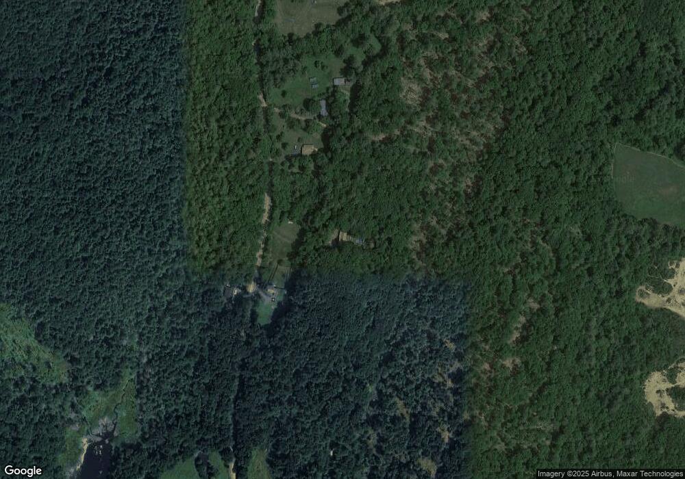
Map
Nearby Homes
- 179 Pierce Rd
- 0 Barr Rd
- 260 Wickaboag Valley Rd
- 11 Shea Rd
- 18-20 Old w Brookfield Rd
- 38 Mount Pleasant St
- 61 Bates St
- lot 3 West Rd
- 48 Mill Rd Lot 2e
- 19 Pine Trail
- 9 Birch Hill Rd
- 10 Rufus Putnam Rd
- 25 Highland Trail
- 39 Forest St
- 12 Cushing St
- 8 Elm St
- 221 Pierce Rd
- 60 Gilbert St
- 201 Pierce Rd
- 101 School St
- 1185 W Brookfield Rd
- 1125 W Brookfield Rd
- 1188 W Brookfield Rd
- 1188 W Brookfield Rd
- 1188 W Brookfield Rd
- 1075 W Brookfield Rd
- 1025 W Brookfield Rd
- 70 Prouty Rd
- 107 Waite Corner Rd
- 50 Prouty Rd
- 1290 W Brookfield Rd
- 115 Prouty Rd
- 109 Waite Corner Rd
- 111 Waite Corner Rd
- 109 Waite Corner Rd
- 103 Waite Corner Rd
- 0 W Brookfield Rd
- 863 W Brookfield Rd
- 106 Waite Corner Rd
- 97 Waite Corner Rd