11550 Ayer Rd Elbert, CO 80106
Estimated Value: $664,000 - $814,531
3
Beds
3
Baths
1,996
Sq Ft
$370/Sq Ft
Est. Value
About This Home
This home is located at 11550 Ayer Rd, Elbert, CO 80106 and is currently estimated at $739,266, approximately $370 per square foot. 11550 Ayer Rd is a home located in El Paso County with nearby schools including Bennett Ranch Elementary School, Falcon Middle School, and Falcon High School.
Ownership History
Date
Name
Owned For
Owner Type
Purchase Details
Closed on
Sep 30, 2002
Sold by
Gordon Susan M and Taylor Susan M
Bought by
Gordon Susan M
Current Estimated Value
Home Financials for this Owner
Home Financials are based on the most recent Mortgage that was taken out on this home.
Original Mortgage
$191,140
Interest Rate
6.26%
Purchase Details
Closed on
Nov 3, 2000
Sold by
Taylor Dwight D
Bought by
Taylor Susan M
Create a Home Valuation Report for This Property
The Home Valuation Report is an in-depth analysis detailing your home's value as well as a comparison with similar homes in the area
Home Values in the Area
Average Home Value in this Area
Purchase History
| Date | Buyer | Sale Price | Title Company |
|---|---|---|---|
| Gordon Susan M | -- | Security Title | |
| Taylor Susan M | -- | -- |
Source: Public Records
Mortgage History
| Date | Status | Borrower | Loan Amount |
|---|---|---|---|
| Closed | Gordon Susan M | $191,140 |
Source: Public Records
Tax History
| Year | Tax Paid | Tax Assessment Tax Assessment Total Assessment is a certain percentage of the fair market value that is determined by local assessors to be the total taxable value of land and additions on the property. | Land | Improvement |
|---|---|---|---|---|
| 2025 | $1,931 | $32,880 | -- | -- |
| 2024 | $1,824 | $31,010 | $920 | $30,090 |
| 2023 | $1,824 | $31,010 | $920 | $30,090 |
| 2022 | $1,538 | $22,150 | $910 | $21,240 |
| 2021 | $1,602 | $22,820 | $970 | $21,850 |
| 2020 | $1,341 | $19,020 | $950 | $18,070 |
| 2019 | $1,329 | $19,020 | $950 | $18,070 |
| 2018 | $1,166 | $16,410 | $920 | $15,490 |
| 2017 | $1,068 | $16,410 | $920 | $15,490 |
| 2016 | $1,082 | $16,400 | $930 | $15,470 |
| 2015 | $1,083 | $16,400 | $930 | $15,470 |
| 2014 | $1,101 | $16,360 | $890 | $15,470 |
Source: Public Records
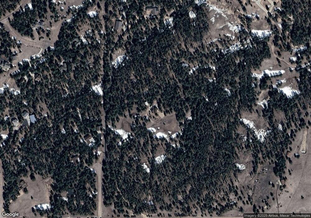
Map
Nearby Homes
- 11855 Grandin Point
- 12015 Grandin Point
- 12095 Grandin Point
- 12683 Fulford Ct
- 12196 Goodson Rd
- 12190 Smoke Bluffs Rd
- 12150 Fox Brush Dr
- 0 Goodson Rd
- 10575 Chiming Bell Cir
- 11134 Lobo Peak Dr
- 10952 Checo Way
- 10760 Sandlilly Ln
- 10932 Huron Peak Place
- 12405 Oregon Wagon Trail
- 12375 Mount Shasta Dr
- 10803 Greenbelt Dr
- 12692 Clark Peak Ct
- 9665 Hardin Rd
- 10853 Torreys Peak Way
- 10641 Greenbelt Dr
- 12150 Spine Creek Place
- 12155 Spine Creek Place
- 12080 Spine Creek Place
- 11255 Salt Creek Place
- 11190 Salt Creek Place
- 12010 Spine Creek Place
- 11185 Salt Creek Place
- 11960 Old England Dr
- 11410 Guinevere Ct
- 11120 Salt Creek Place
- 11650 Ayer Rd
- 12015 Sylvan Meadows Dr
- 12495 Sylvan Meadows Dr
- 11115 Salt Creek Place
- 11490 Guinevere Ct
- 11125 Ayer Rd
- 11990 Sir Galahad Dr
- 11915 Old England Dr
- 11920 Old England Dr
- 12225 Sylvan Meadows Dr