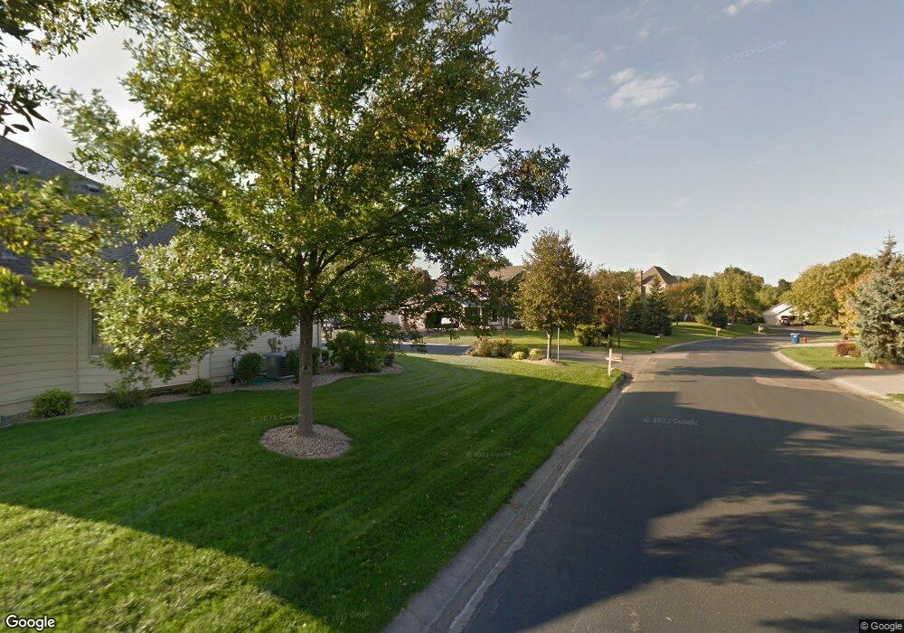
11553 Boulder Ct Maple Grove, MN 55311
Rogers AreaEstimated Value: $321,000 - $327,171
About This Home
This home is located at 11553 Boulder Ct, Maple Grove, MN 55311 and is currently estimated at $323,793, approximately $182 per square foot. 11553 Boulder Ct is a home with nearby schools including Hassan Elementary School, Rogers Middle School, and Rogers Senior High School.
Ownership History
We collect this data history from publicly available records. To have your information removed, we recommend requesting removal directly through your county’s website.
Purchase Details
Home Financials for this Owner
Home Financials are based on the most recent Mortgage that was taken out on this home.Purchase Details
Home Financials for this Owner
Home Financials are based on the most recent Mortgage that was taken out on this home.Purchase Details
Home Values in the Area
Average Home Value in this Area
Purchase History
We collect this data history from publicly available records. To have your information removed, we recommend requesting removal directly through your county’s website.
| Date | Buyer | Sale Price | Title Company |
|---|---|---|---|
| -- | Watermark Title Agency | ||
| $251,000 | None Available | ||
| -- | None Available |
Mortgage History
We collect this data history from publicly available records. To have your information removed, we recommend requesting removal directly through your county’s website.
| Date | Status | Borrower | Loan Amount |
|---|---|---|---|
| Open | $224,000 | ||
| Closed | $225,900 |
Tax History
We collect this data history from publicly available records. To have your information removed, we recommend requesting removal directly through your county’s website.
| Year | Tax Paid | Tax Assessment Tax Assessment Total Assessment is a certain percentage of the fair market value that is determined by local assessors to be the total taxable value of land and additions on the property. | Land | Improvement |
|---|---|---|---|---|
| 2025 | $4,705 | $315,900 | $10,000 | $305,900 |
| 2024 | $4,090 | $322,300 | $20,000 | $302,300 |
| 2023 | $4,164 | $335,800 | $33,000 | $302,800 |
| 2022 | $3,479 | $300,000 | $10,000 | $290,000 |
| 2021 | $3,592 | $260,000 | $10,000 | $250,000 |
| 2020 | $296 | $266,000 | $10,000 | $256,000 |
| 2019 | $97 | $20,000 | $10,000 | $10,000 |
| 2018 | -- | $5,800 | $5,800 | $0 |
Map
- 11628 Forest Ln
- 19585 115th Ave N
- 19520 Laurel Ct
- 11302 Red Stem Ct
- 19302 Meadow View Ln
- 11210 Meadow View Ln
- 19355 Blue Stem Ct
- 20145 Marsh Ct
- XXX Brockton Ln N
- 19620 Jackie Ln
- 12096 Malisa Ct
- 12218 Irma Place
- 12442 Holden Way
- 11032 Taylor Ln
- 21221 Foxtail Ln
- 12810 Weber Ln
- 19662 105th Ave
- 19650 105th Ave
- 21412 Poate Ct
- 19554 105th Ave
- 11575 Boulder Ct
- 11575 Boulder Ct
- 11584 Woodside Dr
- 11577 Boulder Ct
- 0000 Territorial Rd
- 11583 Boulder Ct
- 11564 Woodside Dr
- 11576 Woodside Dr
- 11580 Woodside Dr
- 11587 Boulder Ct
- 11488 Tamarack Point
- 11574 Woodside Dr N
- 11588 Woodside Dr N
- 11591 Boulder Ct
- 11571 Woodside Dr
- 11575 Woodside Dr
- 11555 Boulder Ct
- 11577 Woodside Dr
- 11554 Woodside Dr
- 11583 Woodside Dr
Ask me questions while you tour the home.